
At 1.414 meters high, the Belchen in the Black Forest is not the highest mountain in the region, but it is one of the most impressive. Its striking shape and breathtaking panoramic views make the Belchen one of the most popular excursion destinations in the entire Black Forest.
Geographical location
The Belchen is located in the southern Black Forest in Baden-Württemberg, about 35 kilometers south of Freiburg. The surrounding communities Kleines Wiesental, Munster Valley, Schonau and Todtnau offer numerous opportunities for leisure activities and accommodation of all categories.
geology and landscape
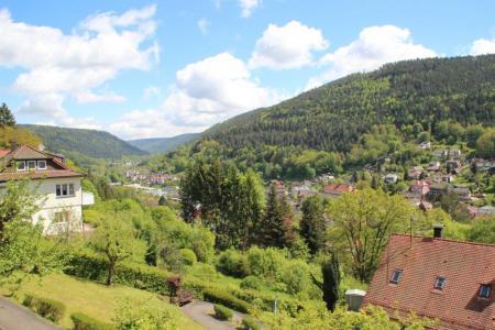
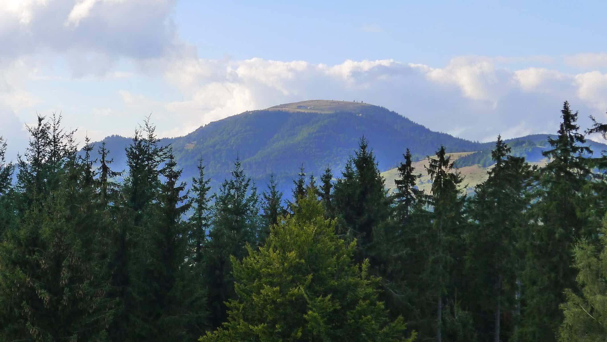
The landscape of the Belchen is characterized by its jagged, uninterrupted rock faces that rise 1.000 meters from the Munster Valley. Its north face is thus the area with the highest relief energy in the German low mountain ranges. But the mountain also drops steeply in the south, its crags sinking 800 meters into the valley floor of the small meadow near Neuenweg.
The Ice Age glaciation of the Belchen region did not leave such clear traces as on Feldberg. Small avalanche glaciers formed in the north and south maximum expansion reached the edge of the Black Forest.
Flora and fauna
Due to its rare flora and fauna, the Belchen was declared a nature reserve in 1949. The area was expanded to 1993 hectares in 1.600 and is now part of the Southern Black Forest Nature Park. Many species of rare butterflies, beetles and birds can be found here. Typical bird species include the raven, the song thrush, the brimstone, the dipper and the peregrine falcon as well as the capercaillie.
Belchenhaus and cable car
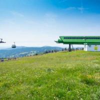
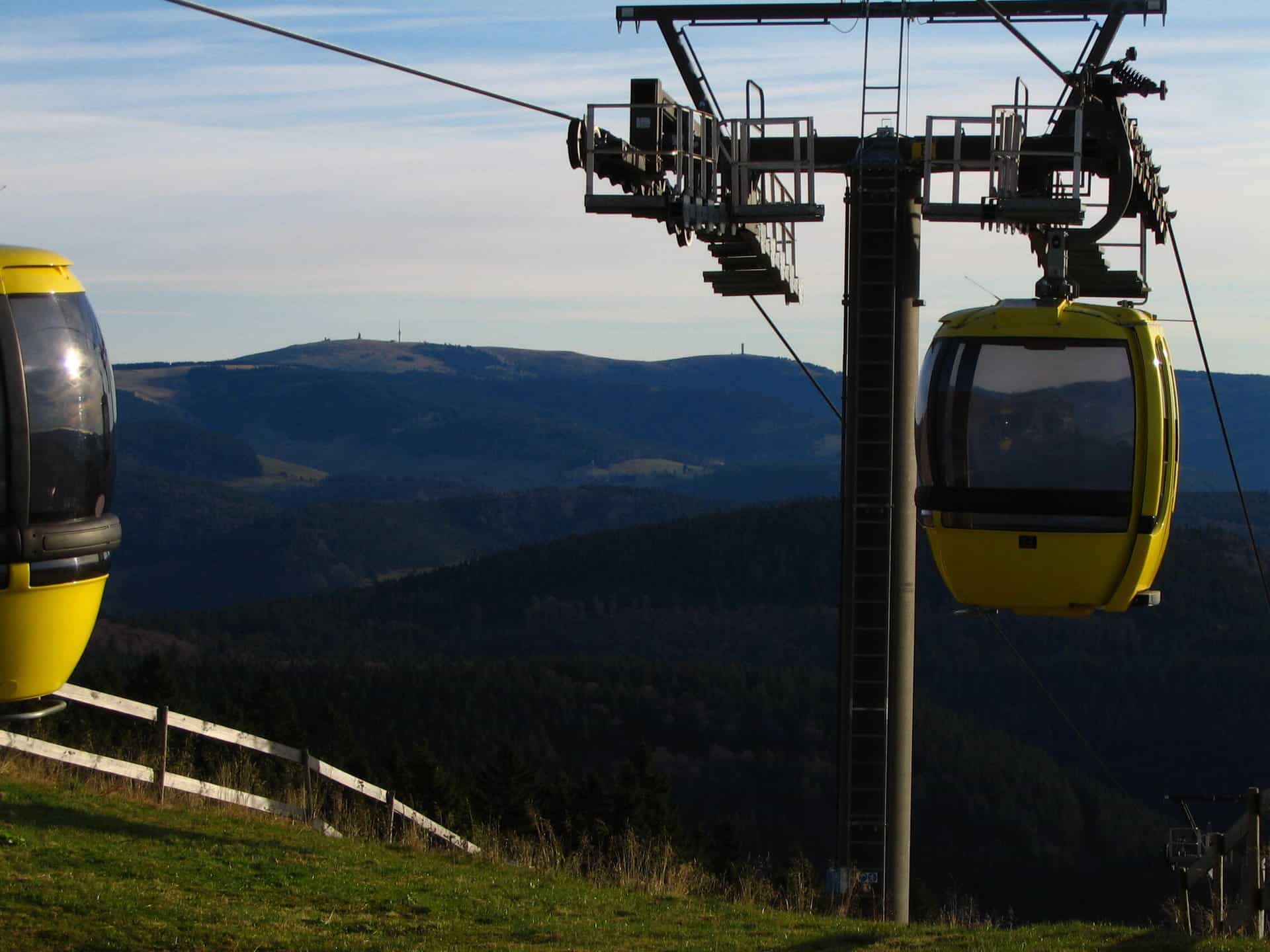
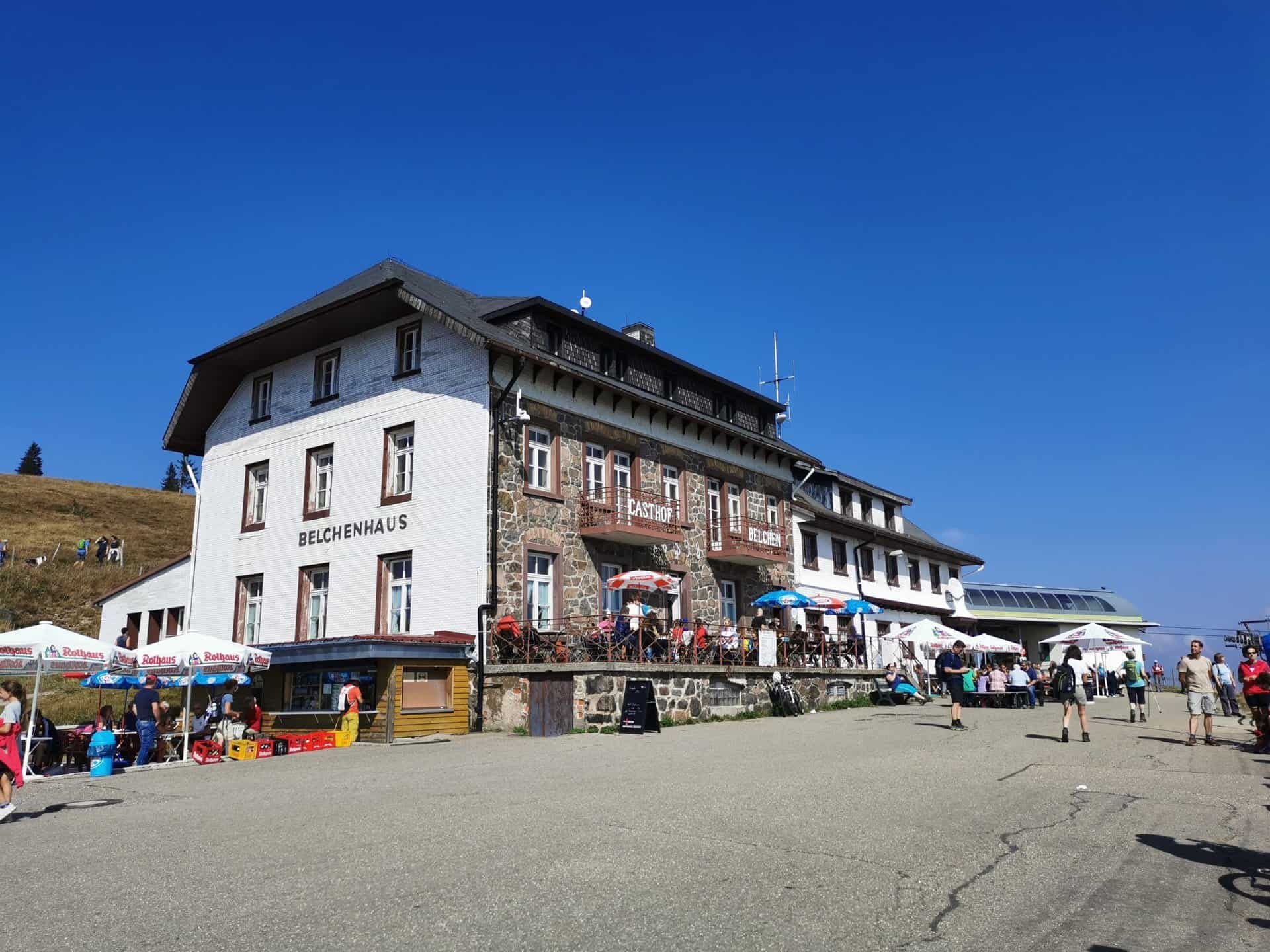
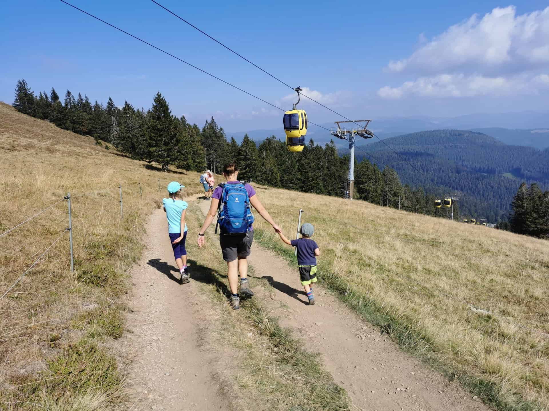
The Belchenhaus, which is only a few meters below the summit at 1.360 meters above sea level, is the highest inn in the Black Forest. The summit has been car-free since 2001, but can still be easily reached with the Belchenbahn or, of course, on foot or by bike. The Belchen cable car offers barrier-free boarding and alighting at the upper and lower stations.
hiking and sports
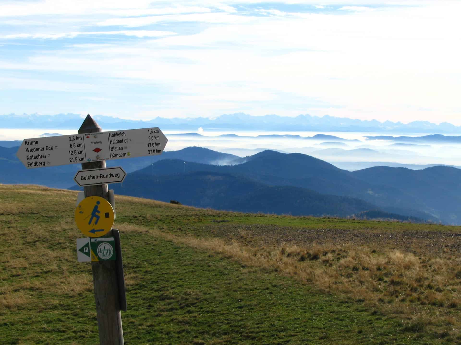
In summer, the Belchen invites you to extensive hikes on various paths and themed trails. An ascent by racing bike or mountain bike is also possible. In winter, the Belchen turns into a popular ski resort. The Belchen cable car opens up four pistes with a length of up to 4,5 km. A special highlight are the nocturnal snowshoe hikes.
panoramic view
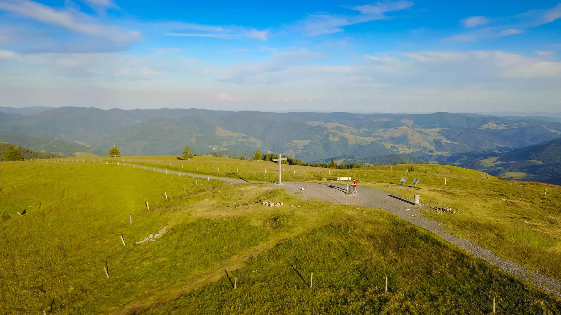
One of the highlights of the Belchen is undoubtedly the panoramic view, which extends to the Alps, the Vosges and the Rhine Valley when visibility is good. The sight is particularly impressive at sunrise or sunset, when the sun's light bathes the landscape in a golden light.
Conclusion
Whether you are an enthusiastic hiker, a passionate mountain biker or a winter sports fan - the Belchen in the Black Forest offers an unforgettable experience in every season. With its breathtaking view, its varied flora and fauna and its diverse sports and leisure opportunities, the Belchen is an absolute must-see for every Black Forest visitor.