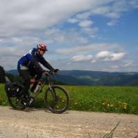
On Saturday morning we went on a bike tour around the southern Black Forest. According to the advertisement, “Almost no increase in altitude”, is that even possible?
We started our tour not like the original tour in Hinterzarten, but on the Feldberg and then met in Lenzkirch on the southern Black Forest cycle path. Since the 230km should be behind us on Sunday evening, an average speed of 25km / h was planned. To not go through Basel To have to drive, we decided on the variant over Lörrach and we had chosen Rümmingen in the Markgräflerland as a stage. Despite good signage, we preferred to rely on our GPS device which showed us the way in good time.
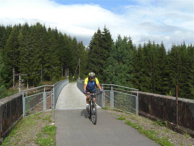
The entire bike tour runs mostly on asphalt roads with little or no traffic. These were of course ideal conditions to reach our goal of 25km / h. The tour to Rheinfelden was very varied and really almost without vertical meters. The piece of Bonndorf After Stühlingen the road even leads downhill rapidly and then ran on a beautiful bike path parallel to the Wutach with a slight gradient to the Rhine.
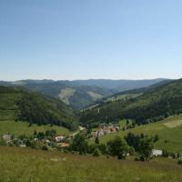
Beautiful towns like Laufenburg or Bad Säckingen were waiting for us on the Rhine. Instead of choosing the flat route via Basel, we decided on the more mountainous route via Lörrach and arrived in Schallbach towards evening. It was a very nice day's stage with scenic views, past the game reserve and Schwanenweier.

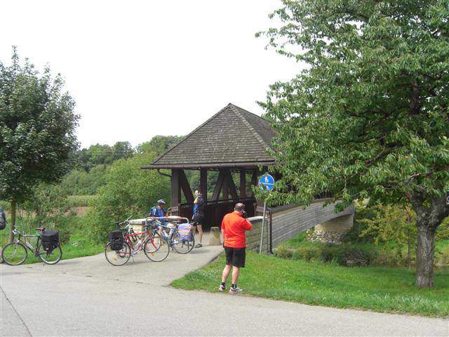
The Bähnleradweg near Lenzkirch 
-
Laufenburg on the Rhine


Day 2 - The Markgräflerland
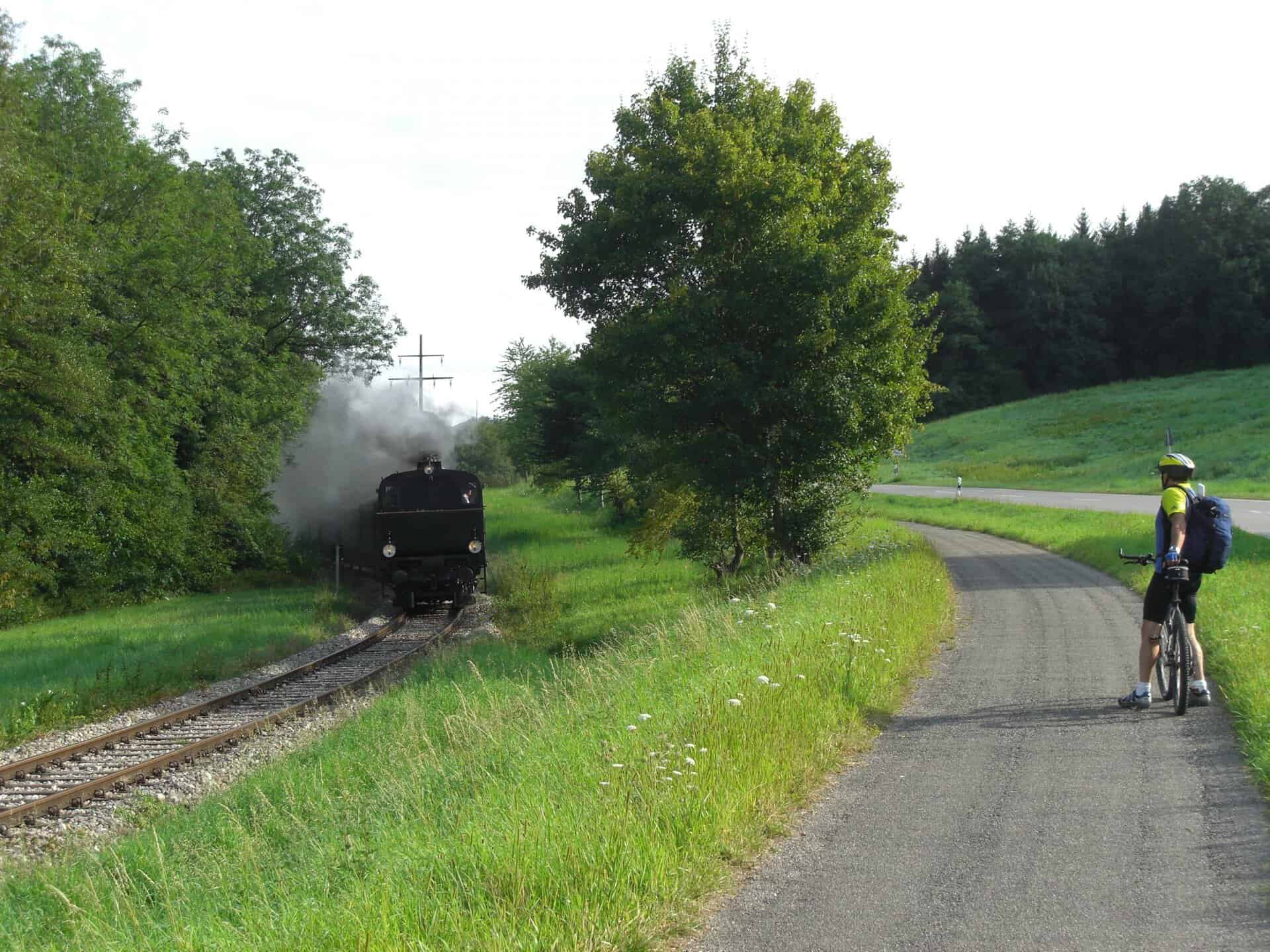
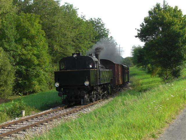
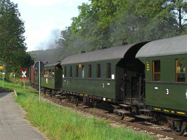
After a rich breakfast buffet in the pension "Alte Post" we cycled strengthened towards the last 80km. While we were on our way towards Kandern, the historic Kandertal Railway steamed towards us.
With this variant there are already slight climbs, which also make the tour varied.
After small, short climbs it went down to Bad bellingenwhere we reached the Rhine. There wasn't a single hill here, just long, flat sand and asphalt paths. From Neuchâtel we left the path on the Rhine again and drove through corn and tobacco fields. Shortly after noon we reached the university town Freiburg and later the goal in Kirchzarten.
-
-
Kandertal Railway -
Conclusion
The southern Black Forest cycle path is a very nice way to get to know the region. The statement “almost no altitude difference” is also true, there are really only a few small climbs and these are not too long. We reached our goal in two days, but my recommendation would be to plan at least three or four days for it.
General information and official GPS data at www.suedschwarzwald-radweg.de