
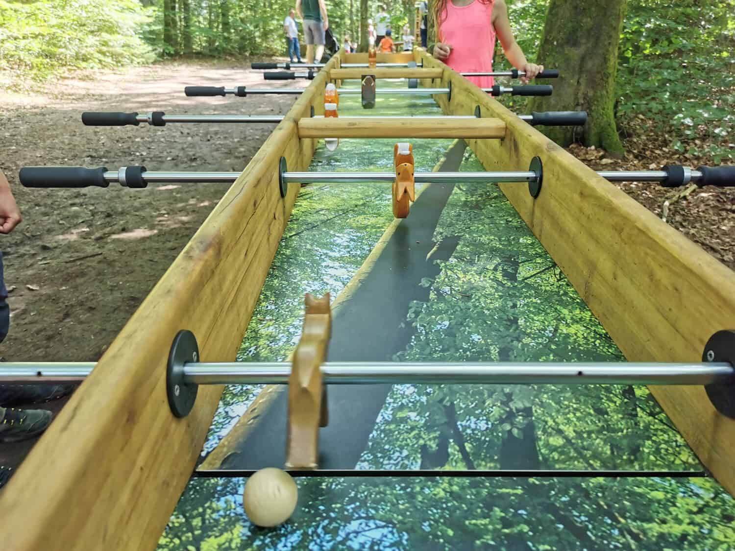
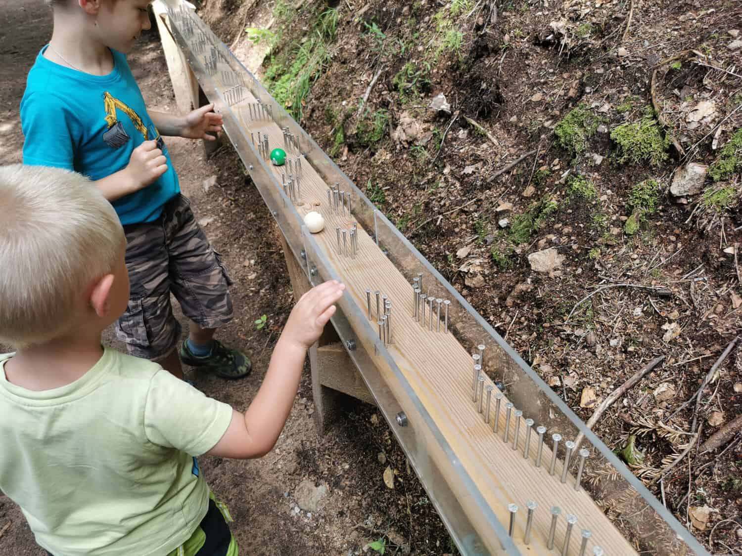
Take the ball, get set, go!
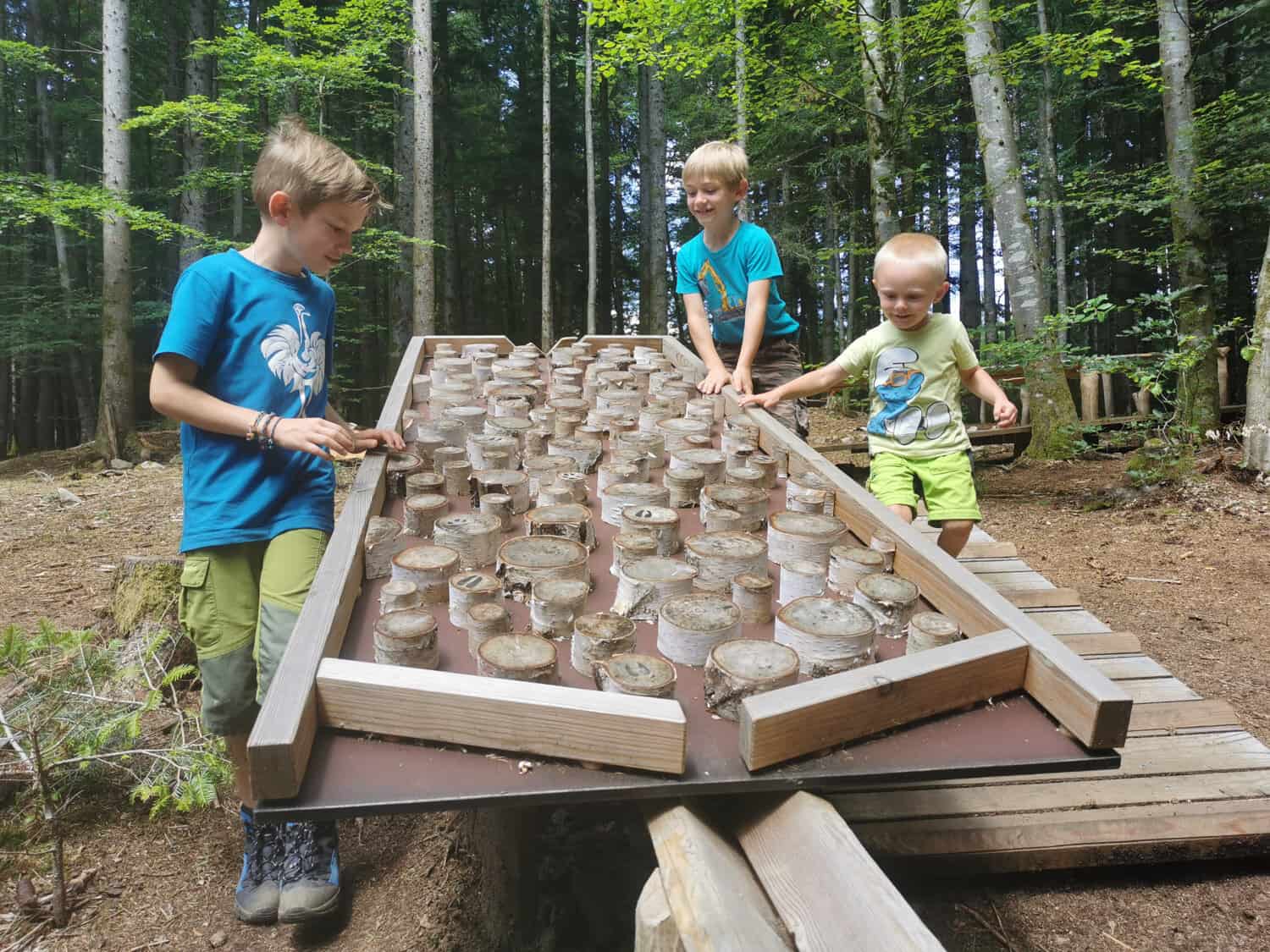
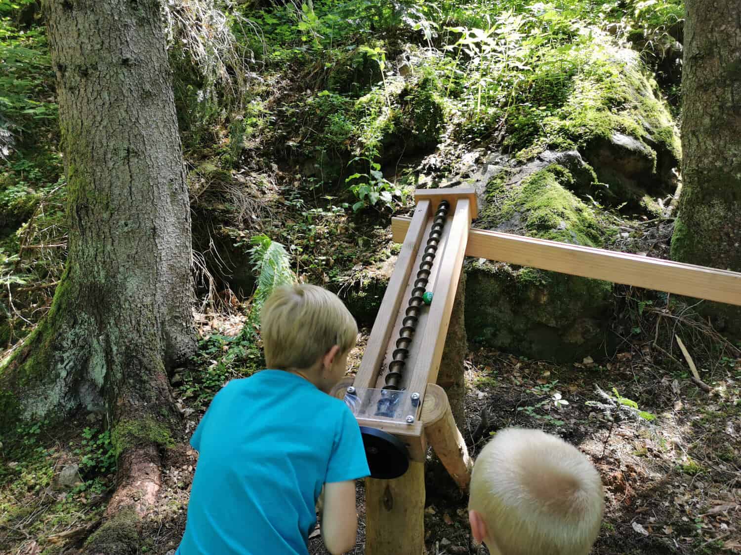
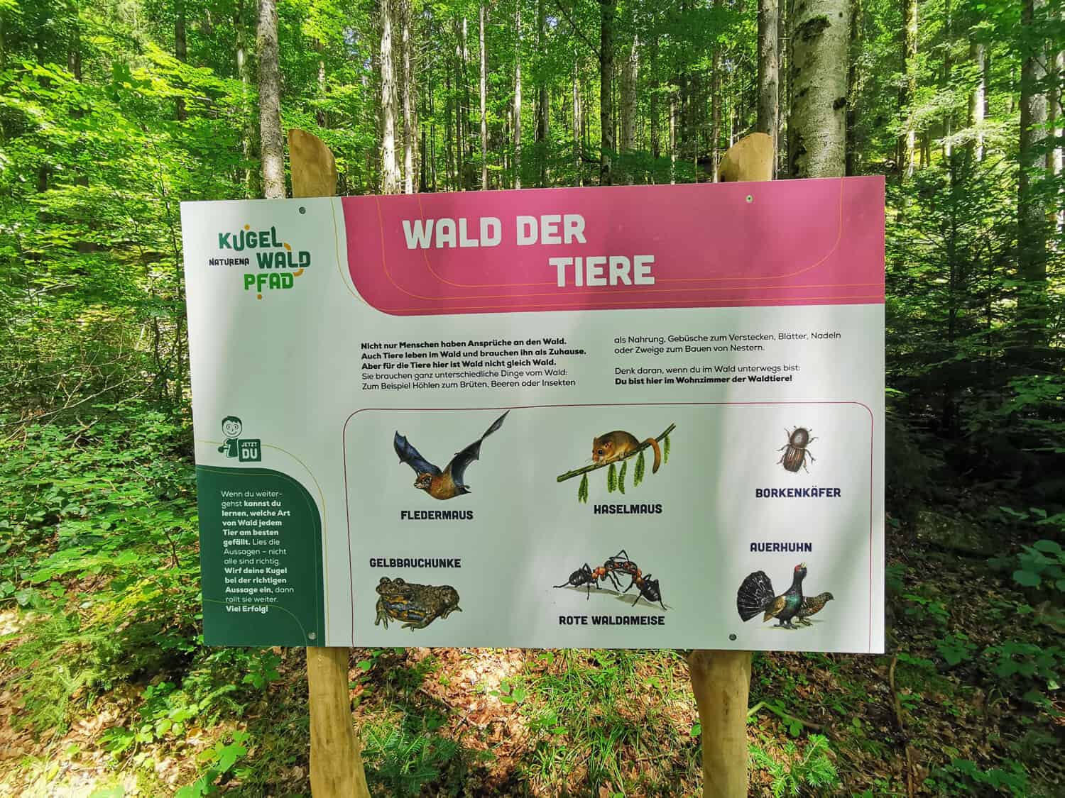
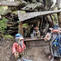
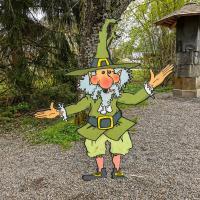
The ball is constantly rolling on the hiking trail for children, the KugelWaldPfad, in Ühlingen-Birkendorf. With this one Children's trail Nobody gets bored, even the adults are amazed at the imaginative and extremely long marble runs. In addition to a lot of fun, a lot of knowledge about the forest inhabitants is imparted on the way.
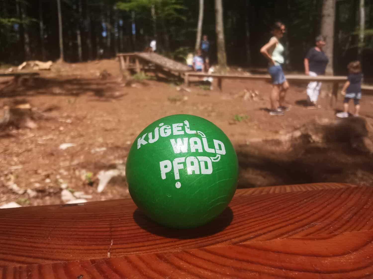
You start at the “Oberholz” hiking car park, where you can buy a wooden ball for € 1. The machine cannot change, so make sure you have enough money with you in your wallet. After the ball is in the hands of the children, off we go.

Ball machine at the Oberholz car park -
Overview map -
-
-
Rest area at the small round -
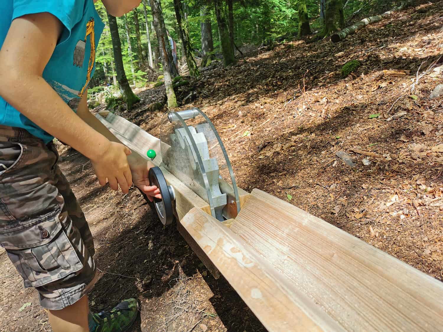
Move the ball up -
N / A? Correct answer? -
Did you know it? -
Rest area at the big round -
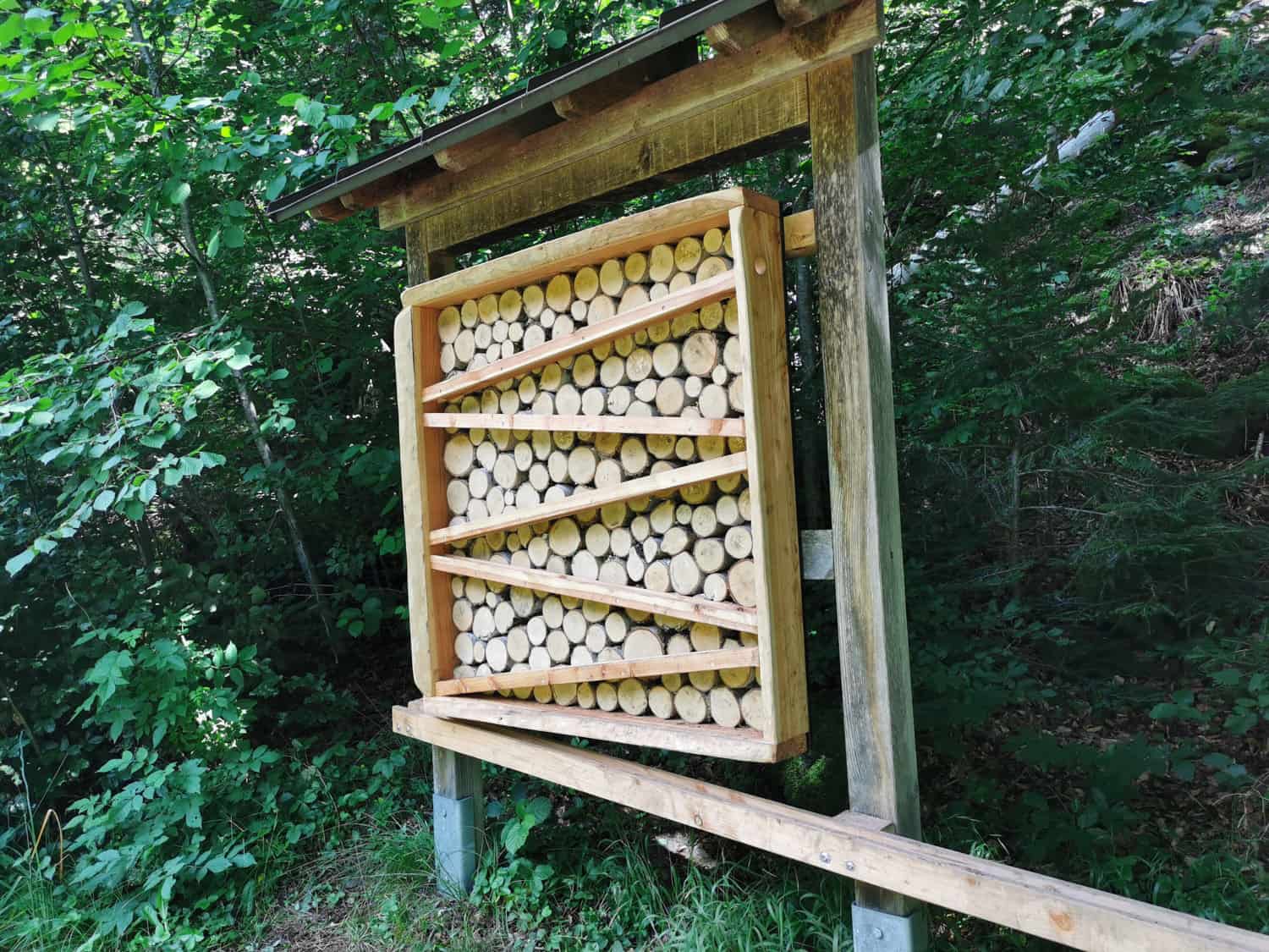
Signs on the KugelWaldPfad -

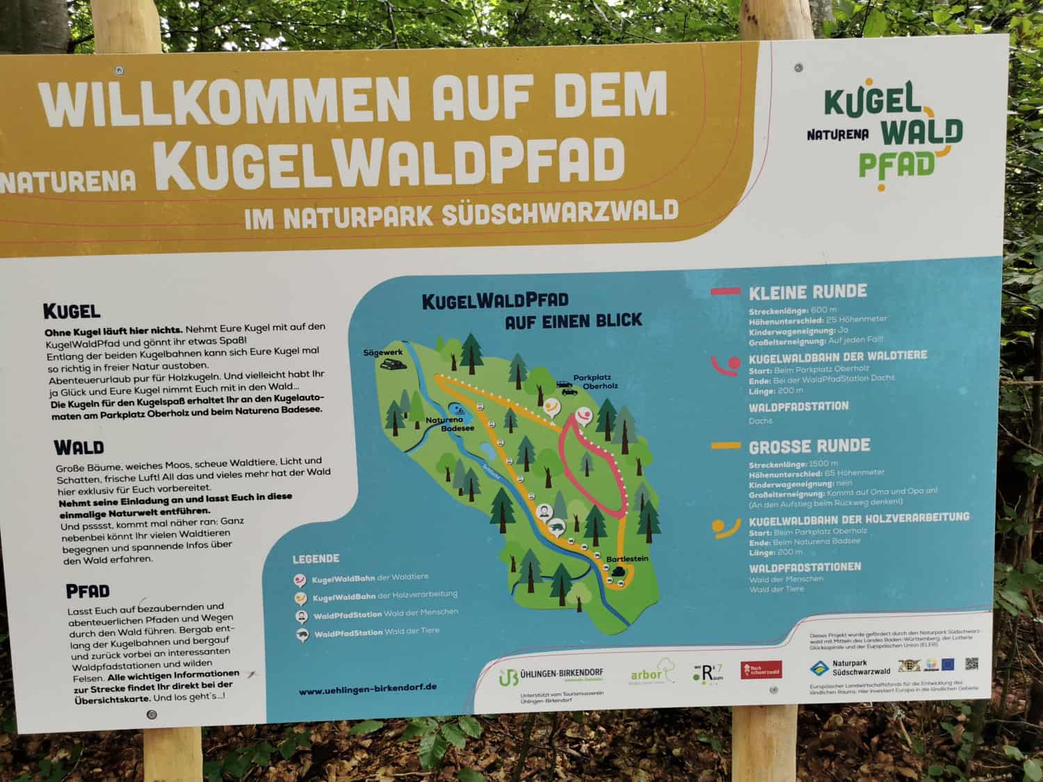

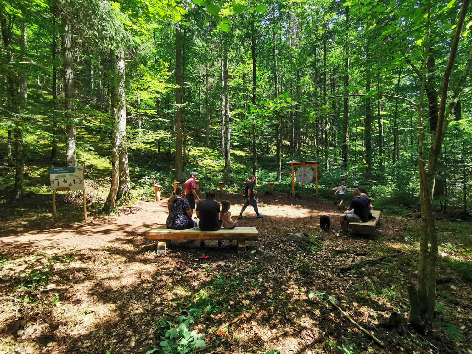
The small or the big group?
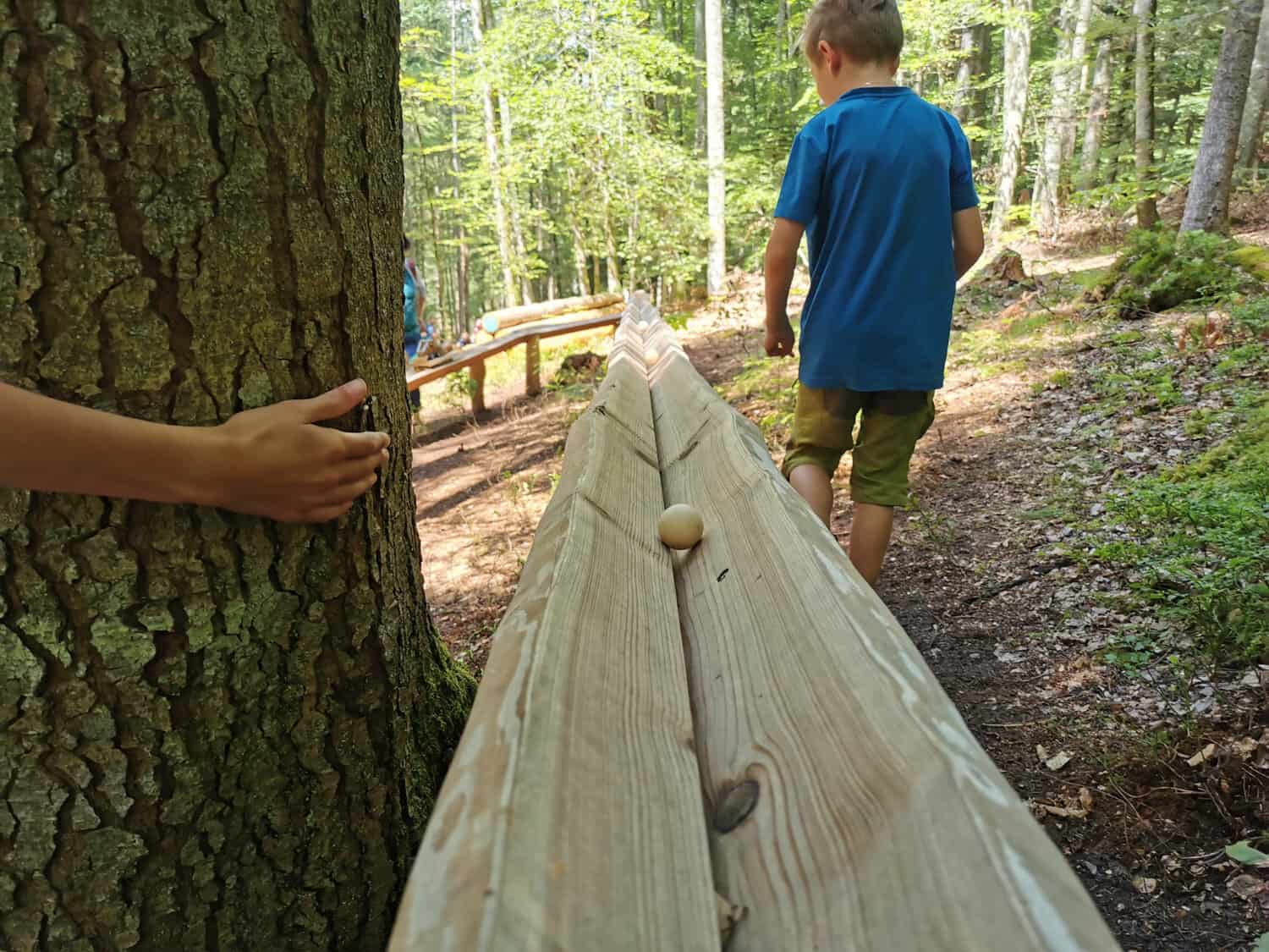
The path can be run in two ways, the small round with the "marble run of the forest animals" is about 600m long and perfect for small hiking legs. This round has only a little incline and is also suitable for pushchairs.
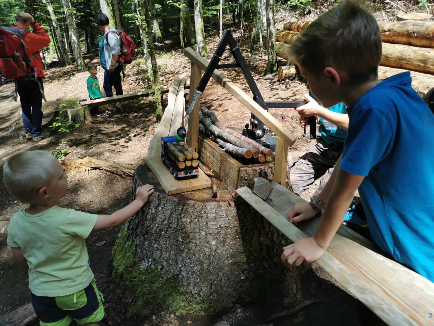
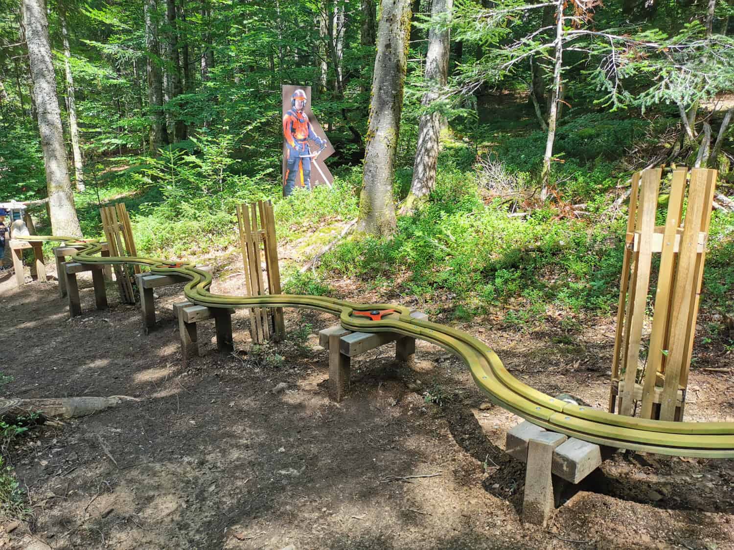
If the small round is not enough for you, there are plenty of great marble runs on the large round. This round is then about 2,3 km long and the little hikers pass the “marble track of the forest animals” as well as the “marble track for wood processing”.
I would estimate that there is about 350m of marble run on the way!
The big round also leads past the “Naturena Badesee” swimming pool. By the way, you can park here too, pick up a ball from the automatic ball machine and start hiking.
-
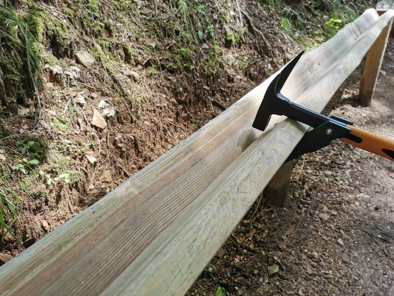
The hammer stops -
-
The rotation continues -
-
Grab the ball and charge it. -
-
-
-


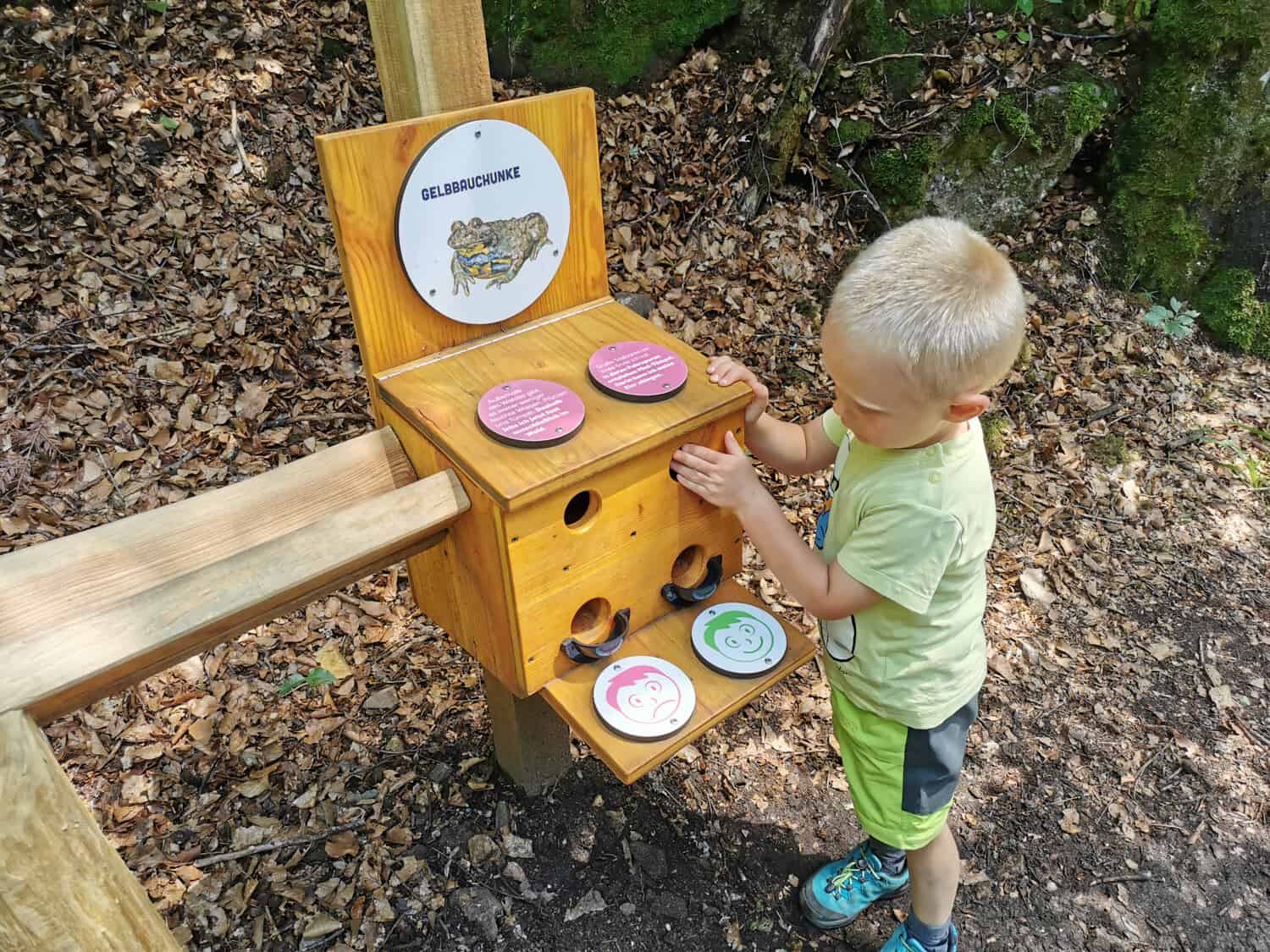
Learn playfully
In addition to the marble runs, there is also a lot of information about the forest and the animals that live in it. So there are always question / answer boxes on the way. Throw the ball into the hole of the correct answer and a smilie below will show you whether you were correct.


