
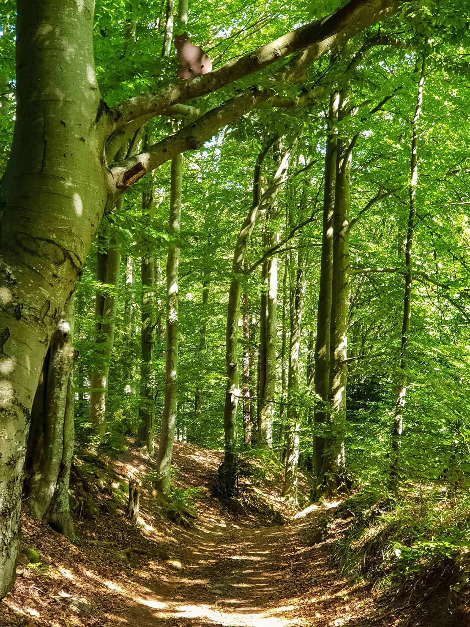
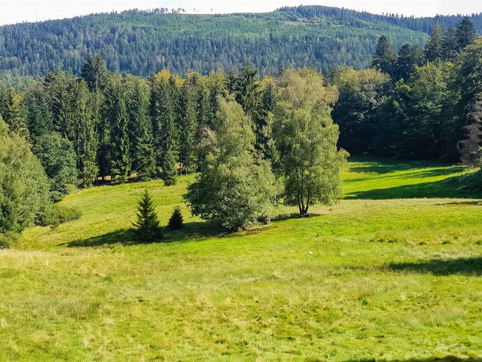
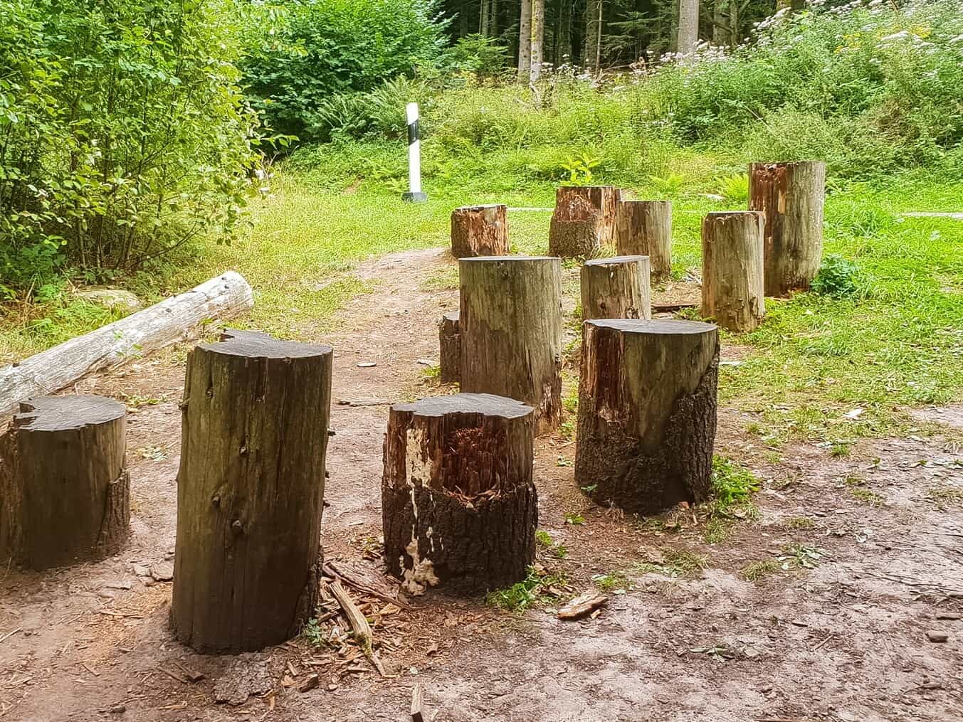
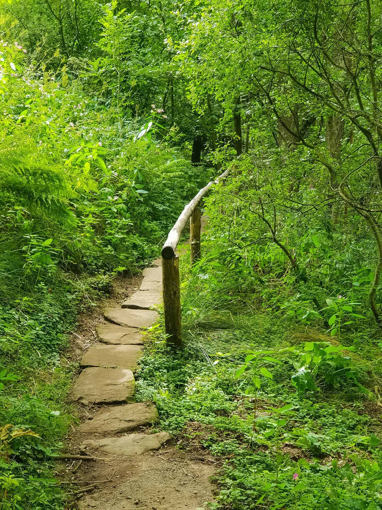
The path is mostly natural and leads through a beautiful, old mixed forest. There are always opportunities to take a break and strengthen yourself along the way. Felled trees or specially built seating are suitable for this, for example. However, the path does not only lead through the dense forest. There are also always points where you can enjoy the beautiful view over the upper Gaistal and a few rays of sunshine.
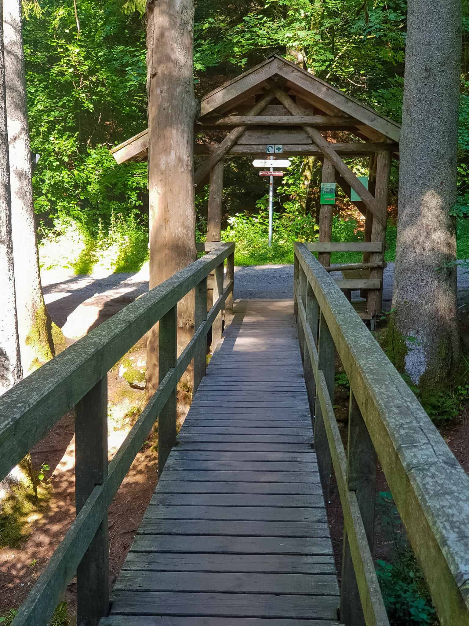
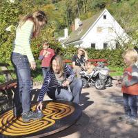
A special highlight of the trail is the crossing of a small stream. Balancing over a tree trunk used as a bridge is a great experience, especially for children, which invites you to repeat it several times.
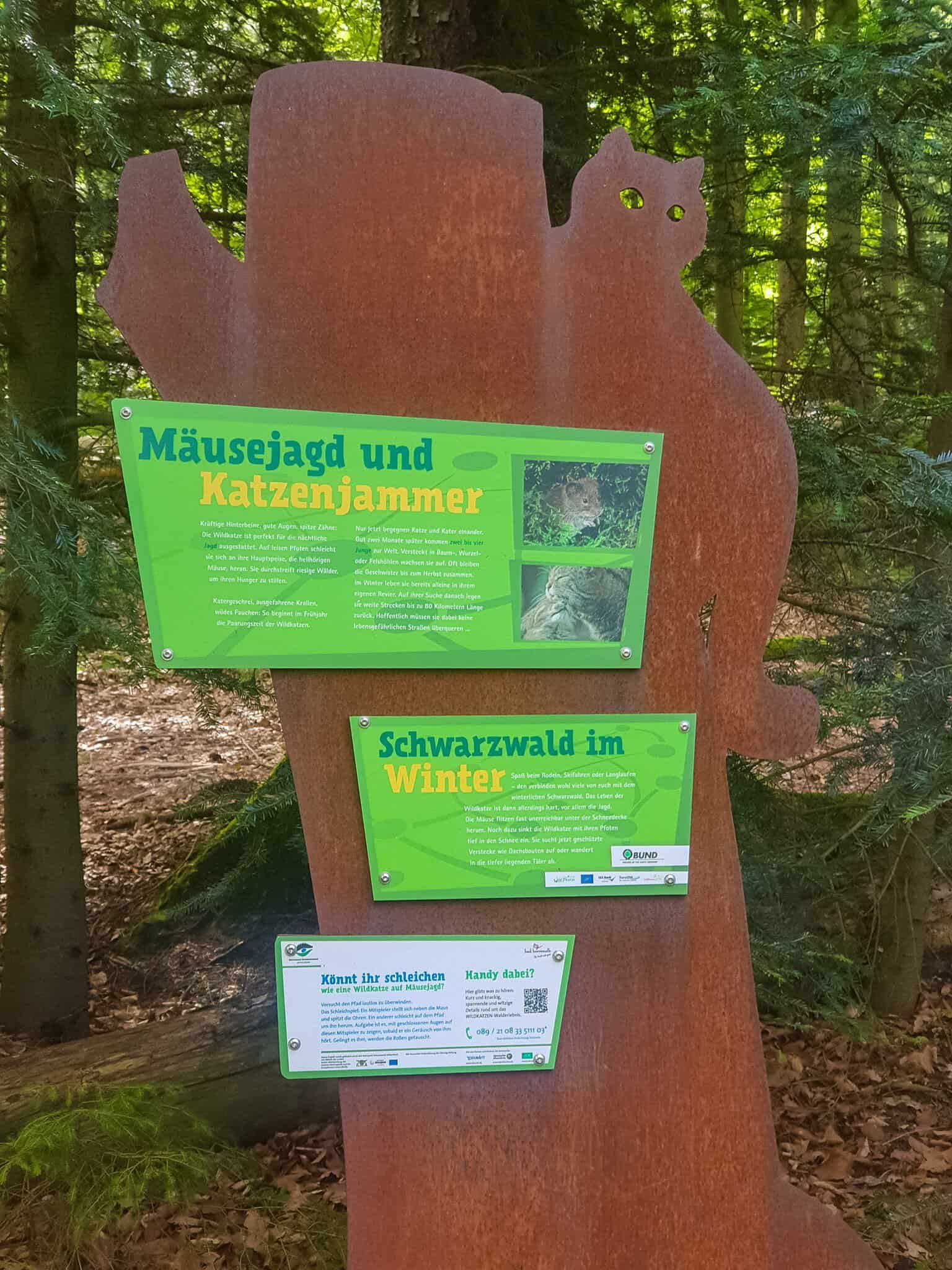
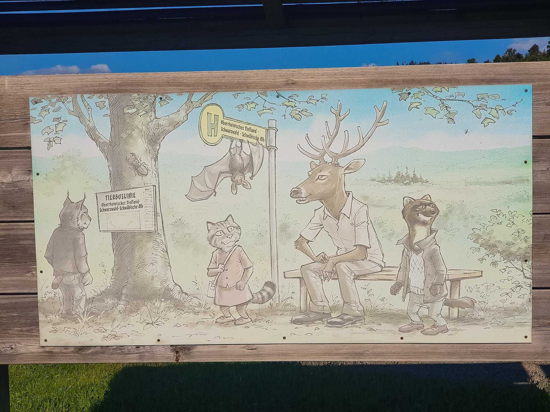
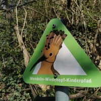
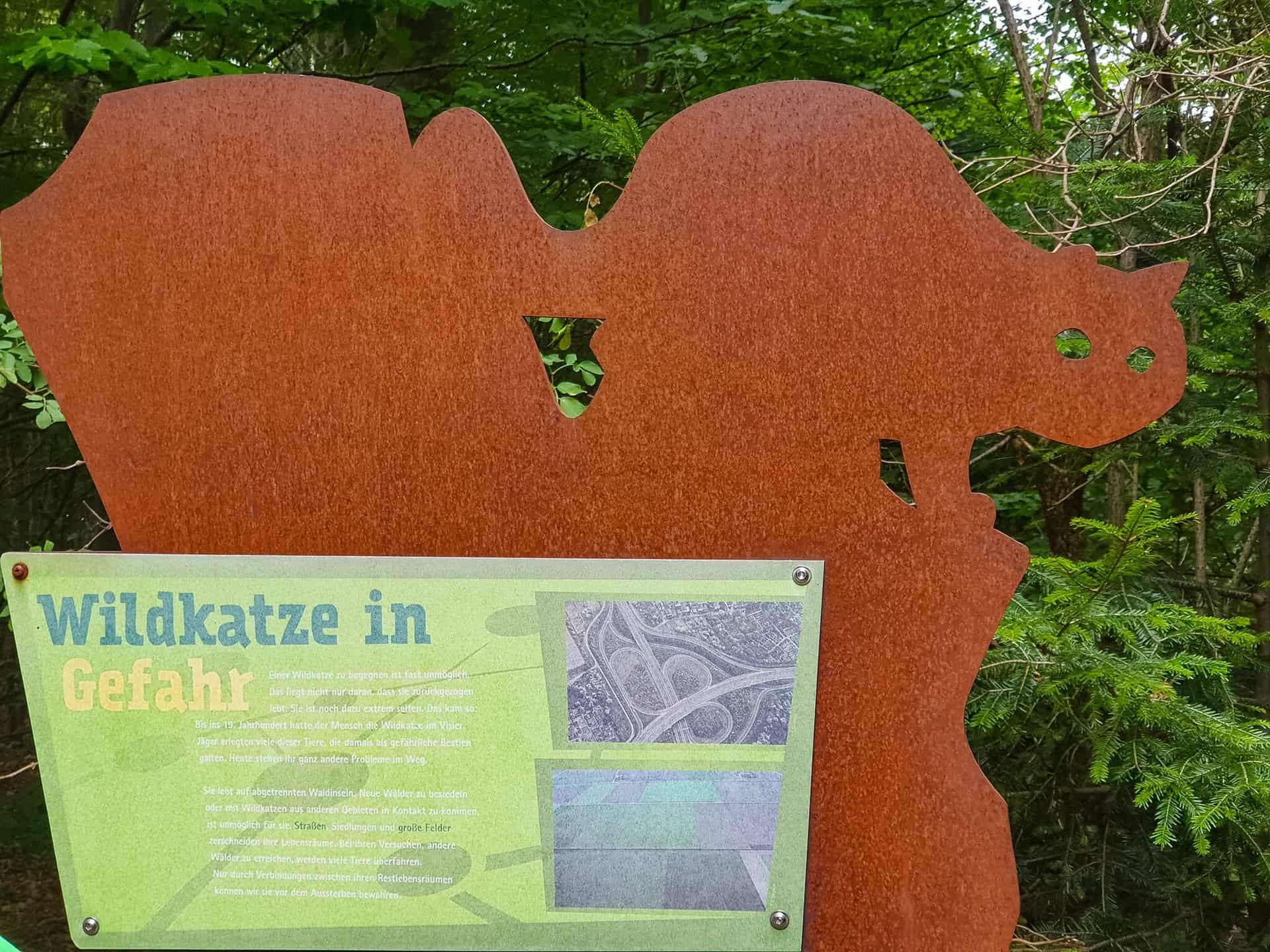
The Wildcat Trail near Bad Herrenalb is a project run by the BUND Baden-Württemberg Regional Association. V. initiated approximately 6 kilometers long, excitingly designed Themed trail in the Black Forest. The path, developed together with the city of Bad Herrenalb, the municipality of Loffenau and the BW Forestry Agency, deals with the wildcat and its habitat.
The Wildkatzenpfad near Bad Herrenalb has been certified by the German Hiking Association as a "quality family fun trail". It was the first hiking trail to be included in this category and it still belongs to this category.

hiking equipment
Since the path through the forest is largely natural, it is advisable to wear appropriate footwear with a good grip. Due to the beautiful mixed forest, there is a lot of shadows on the way. That's why you shouldn't rely on the warmth of the sun, even when the weather is nice, but rather carry something warmer with you to wear. Taking a change of clothes for children is also worth considering because of the stream that has to be crossed.
Since the 6 kilometers can be quite long with children, food and drinks should also be packed.
Information about wild cats
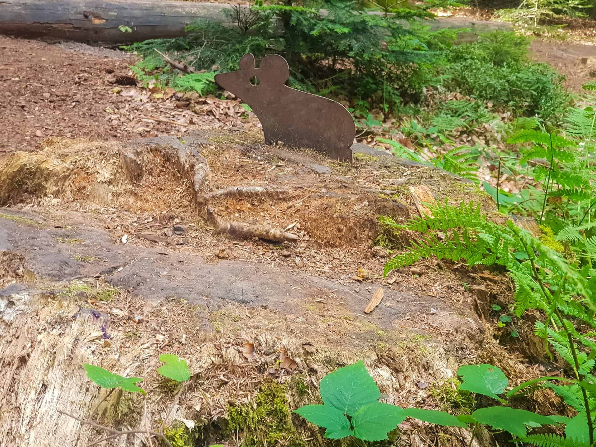
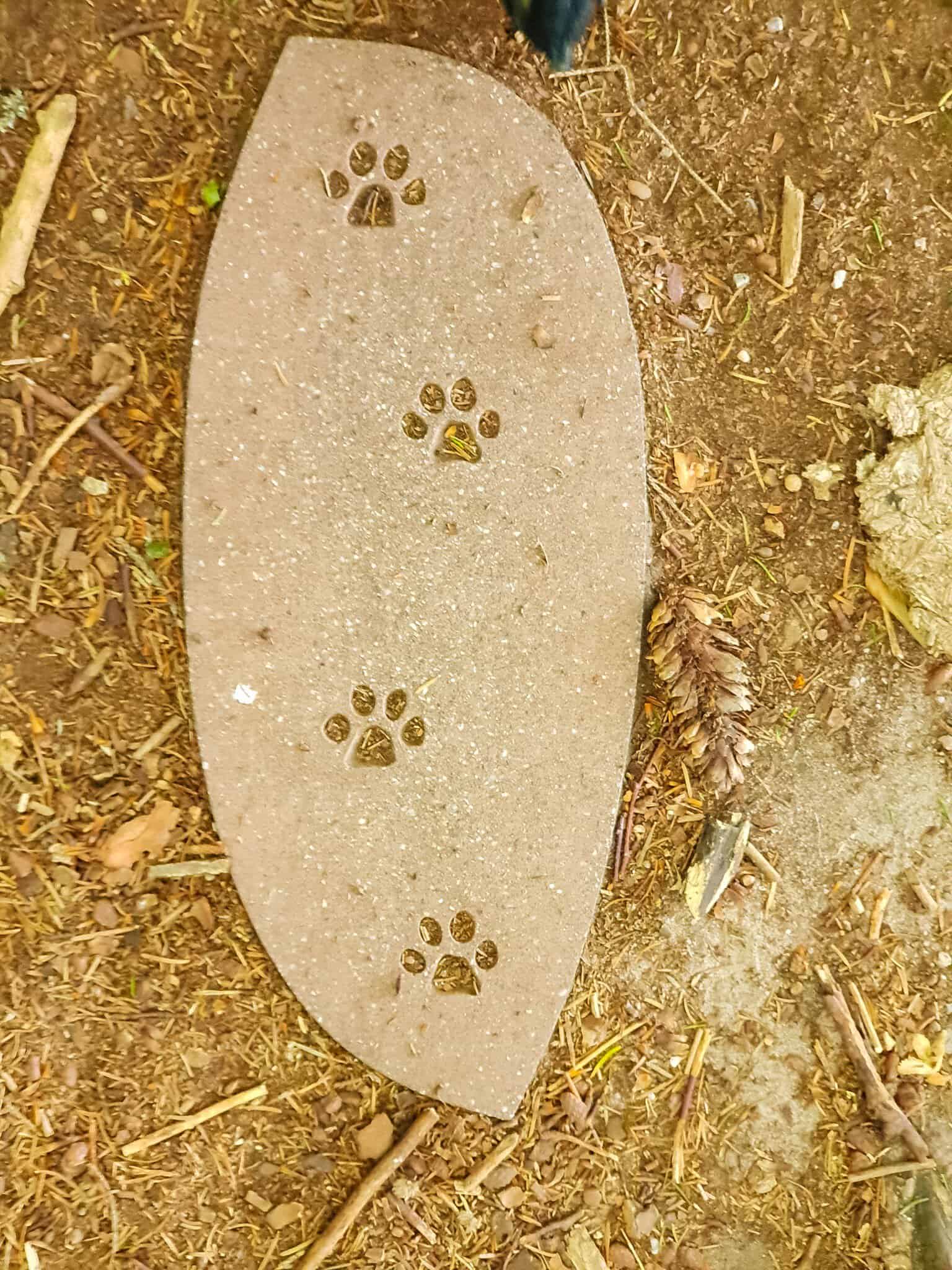
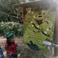
On the wildcat trail near Bad Herrenalb, a total of 10 information stands provide information on various topics related to wildcats and their native habitat. A question from the wildcat flyer can also be answered at each information stand. If all questions have been answered correctly, you can enter the resulting solution word online. If this is correct, this can be for the children Wildcat Diploma of the Wildkatzenpfad near Bad Herrenalb be printed out.
If the information at the information stands is not sufficient, there is also the option of calling up additional audio information via smartphone. Due to difficulties in network coverage in the forest, a telephone hotline has also been set up, which can also be used to call up information.
In addition to hiking on your own, guided tours are of course also offered. Here you have the opportunity to learn more about the area and its animal inhabitants from the tour guides. These tours can be booked via the Tourist Info Bad Herrenalb. The wildcat flyers are also made available here.

Parking
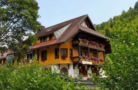
The car park at Skiheim Talwiese Oberes Gaistal / Bad Herrenalb is recommended as a car park. It is also possible to travel by bus from Bad Herrenalb train station. The bus stop is just a few meters from the parking lot. After the hike, there is also the opportunity to stop off at the local inn and strengthen yourself for the journey home.
Starting point
The starting point of the Wildkatzenpfad near Bad Herrenalb is located directly at the parking lot at the Skiheim. Since it is a circular route, the hiking trail ends there again.
Suitable for pushchairs
We strongly advise against taking a stroller with you. The path is mostly natural, with many roots and other obstacles. In addition, a small stream has to be crossed on the way. With a stroller this is very difficult if not impossible.


