
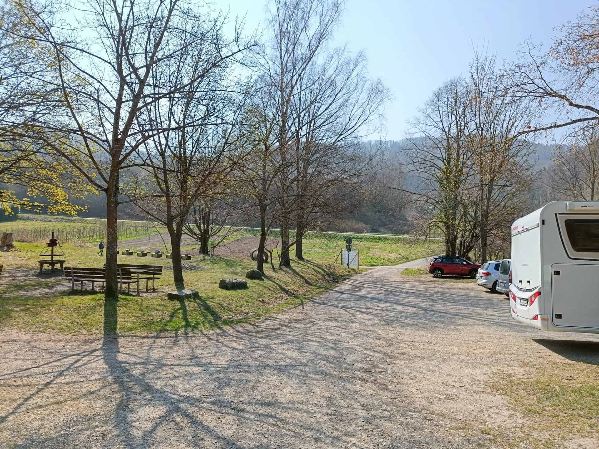
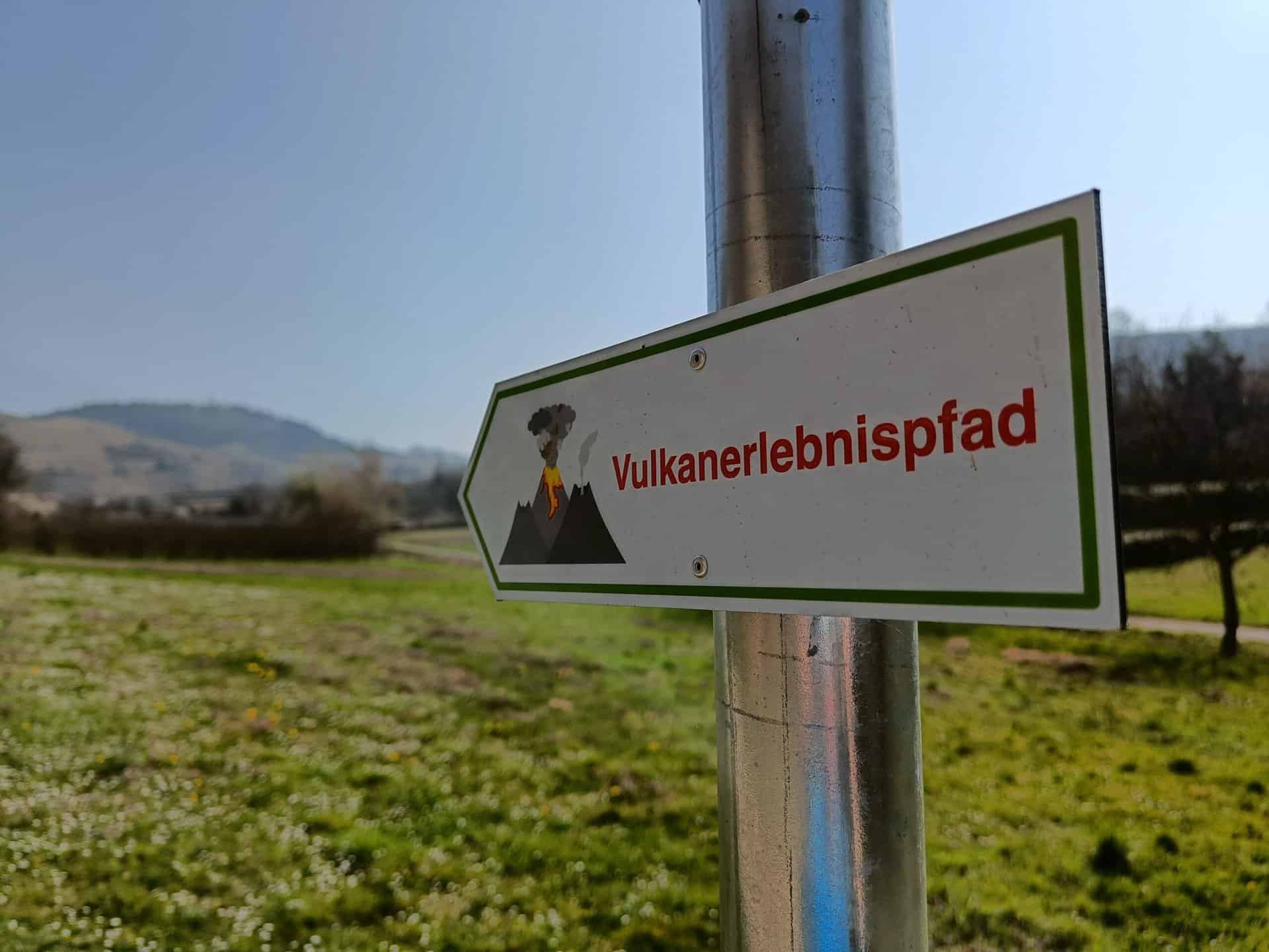
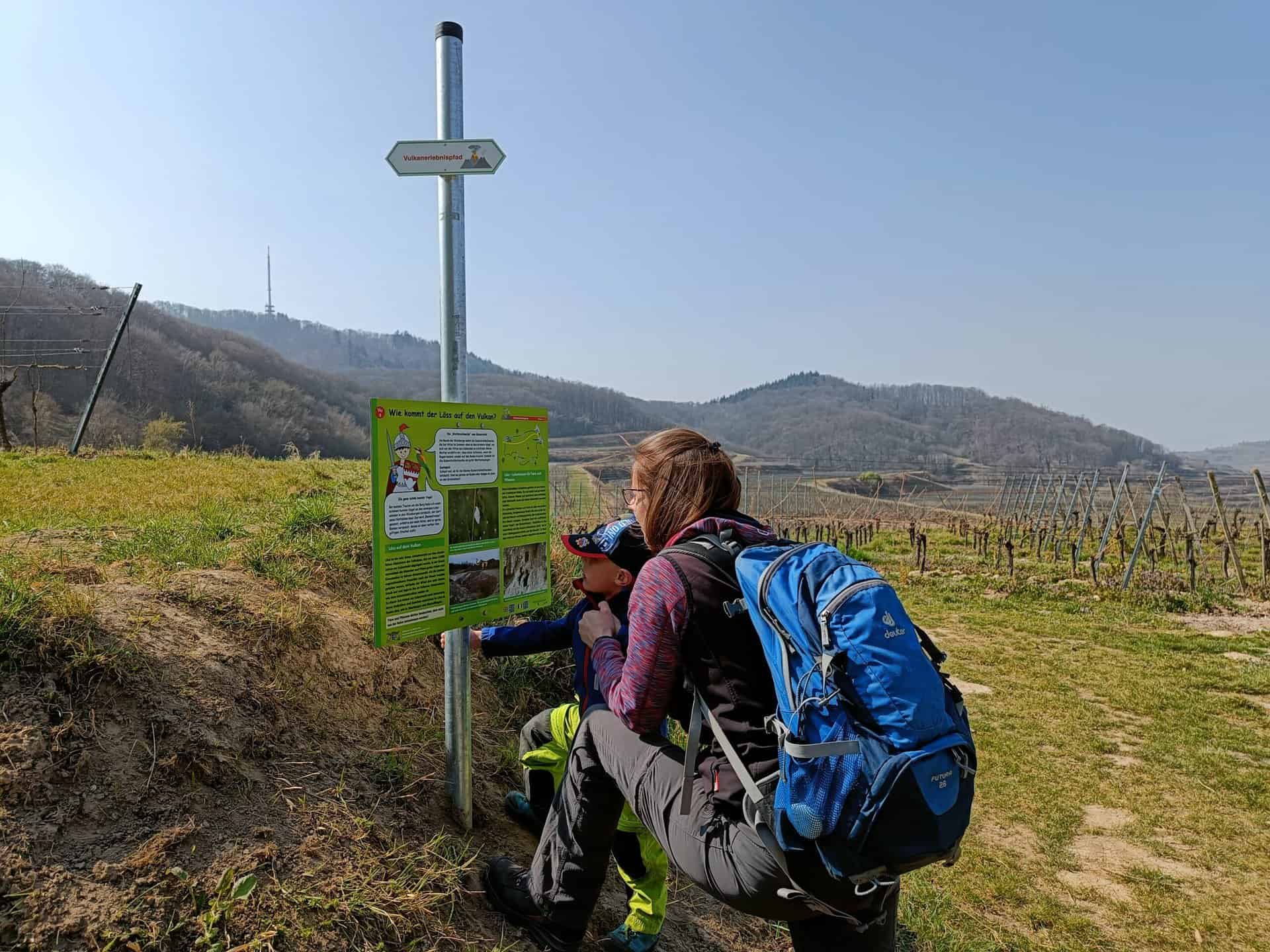
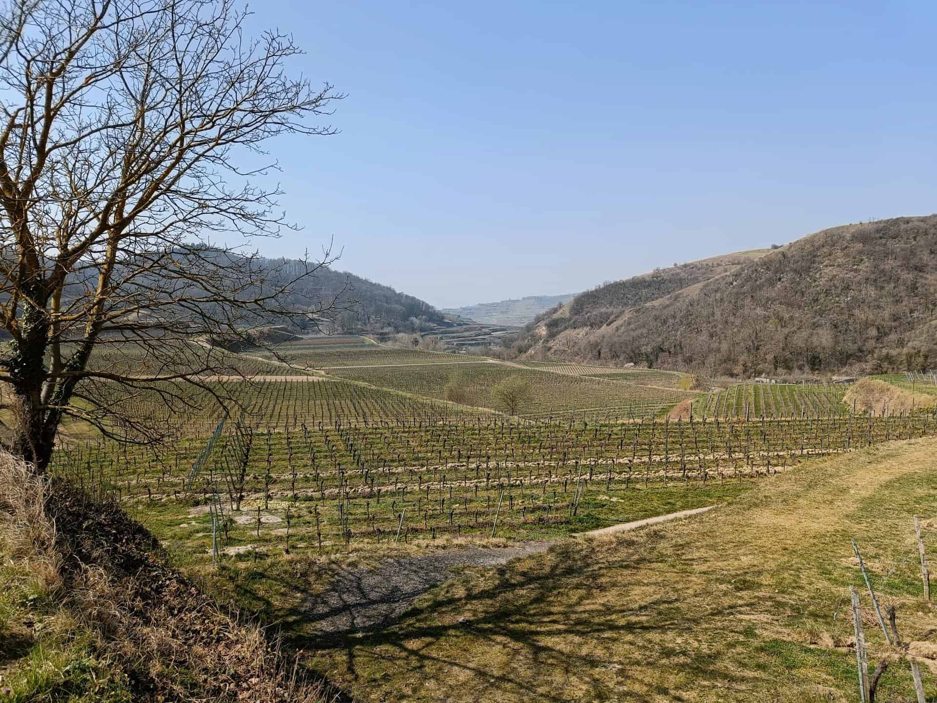
Set off and explore the volcanic landscape in the Kaiserstuhl with Ritter Hugo. The 3,2 km long volcano adventure trail leads on a barrier-free children's hiking trail along the Badberg nature reserve and through the vineyards. A total of 70 meters in altitude has to be overcome, although the path only climbs moderately and there are no steep sections to overcome. At 8 stations you will learn a lot about volcanism in the Kaiserstuhl.
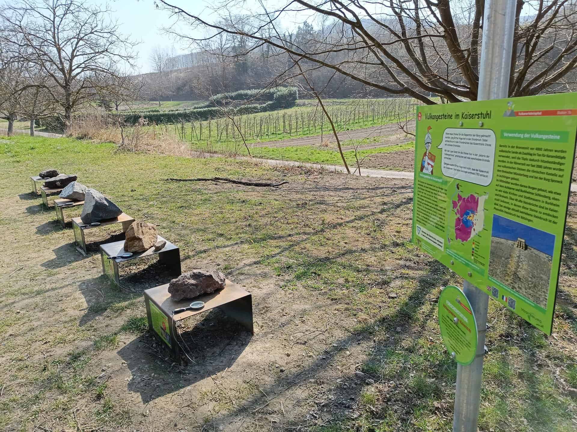
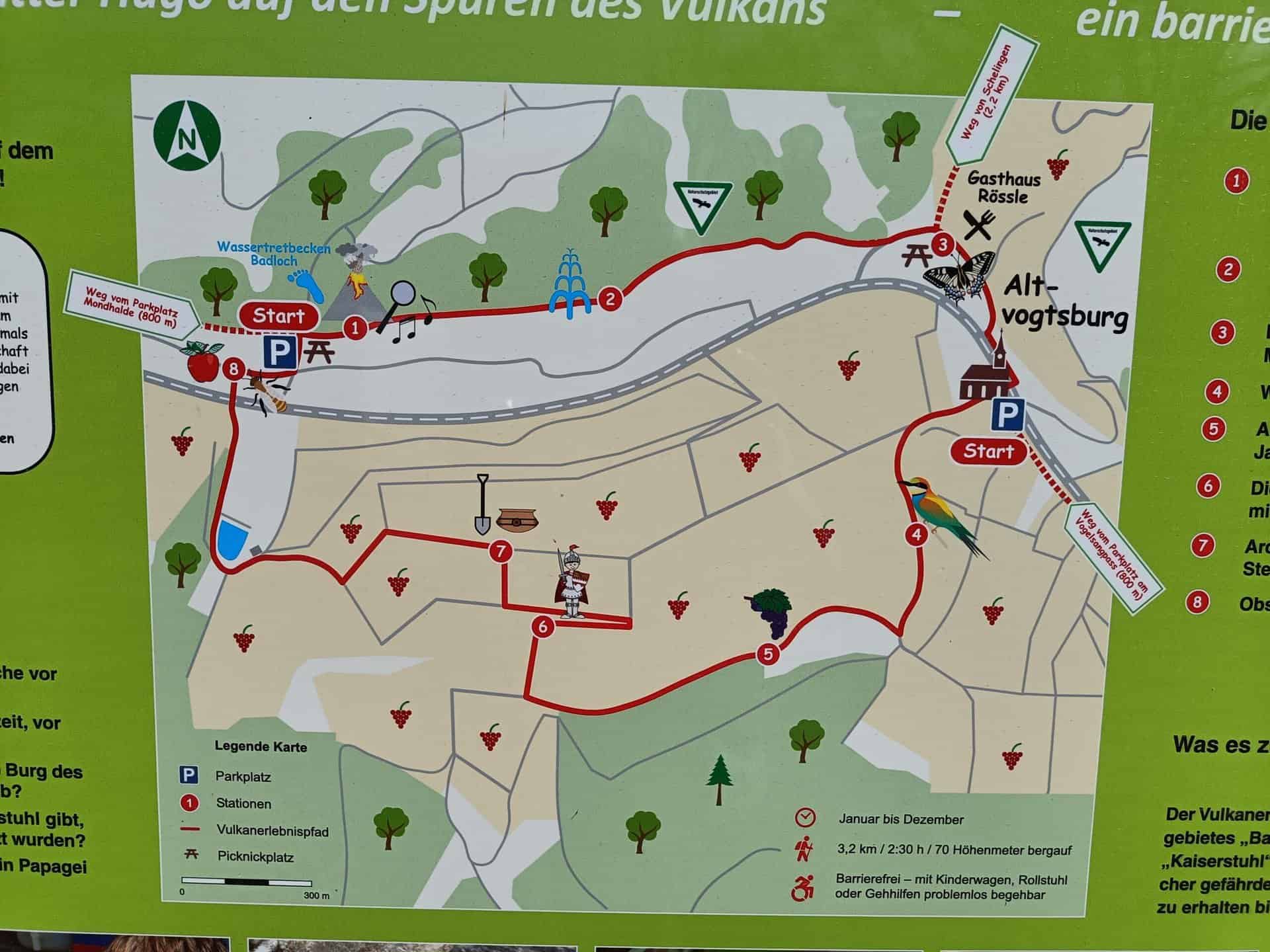
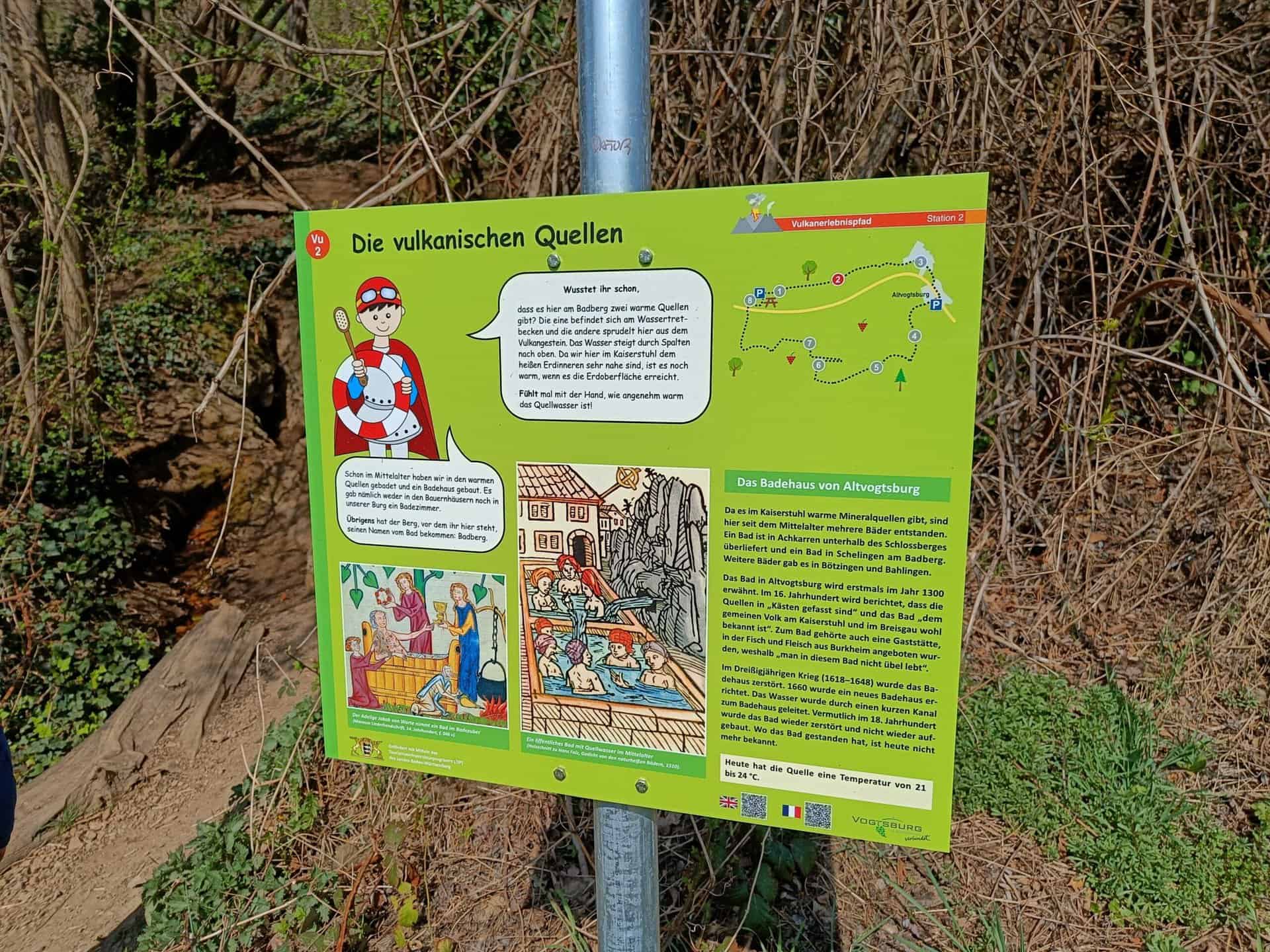

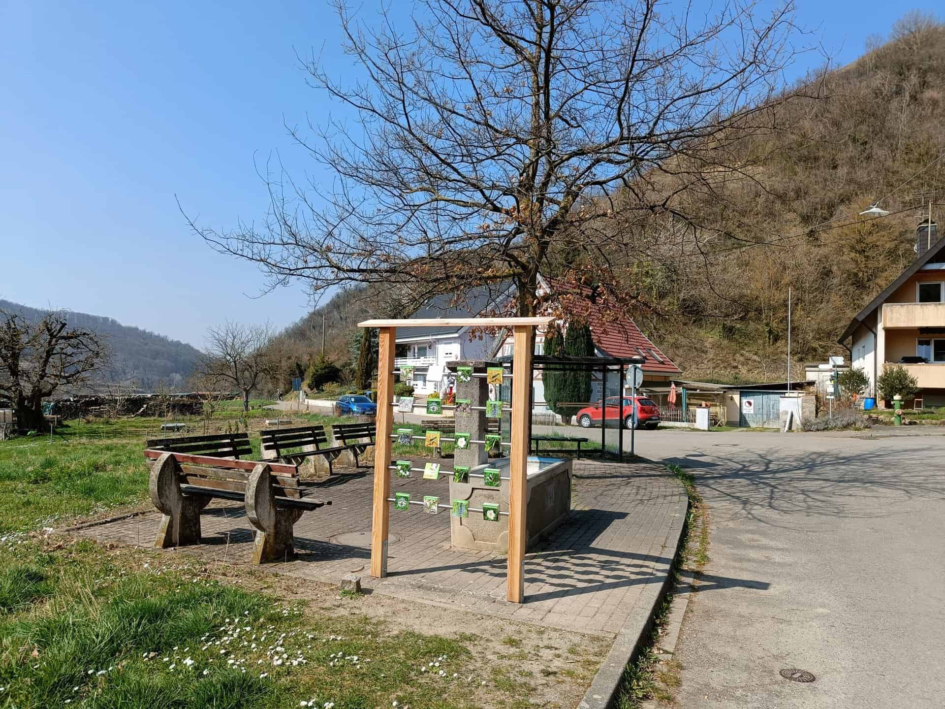
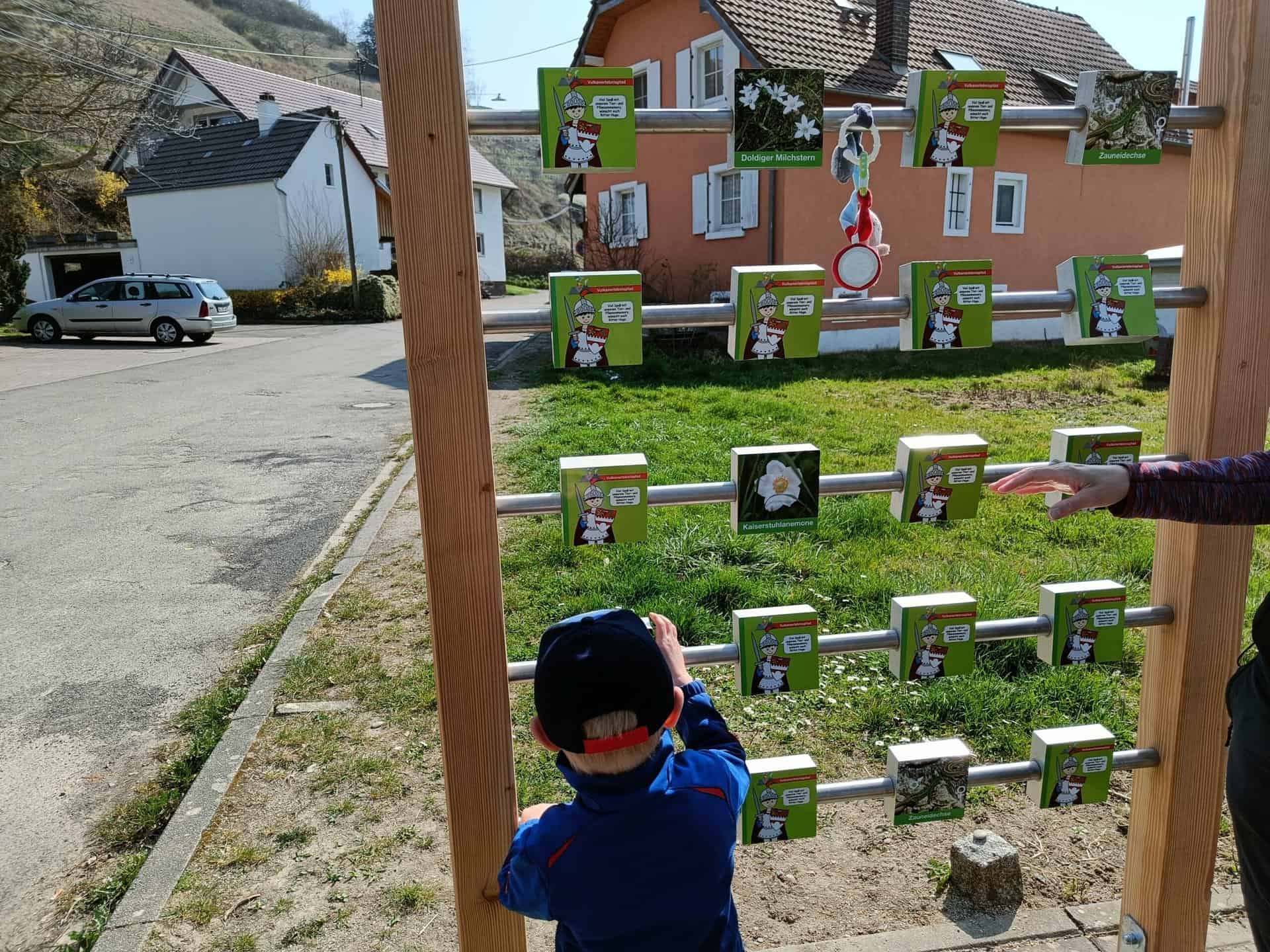
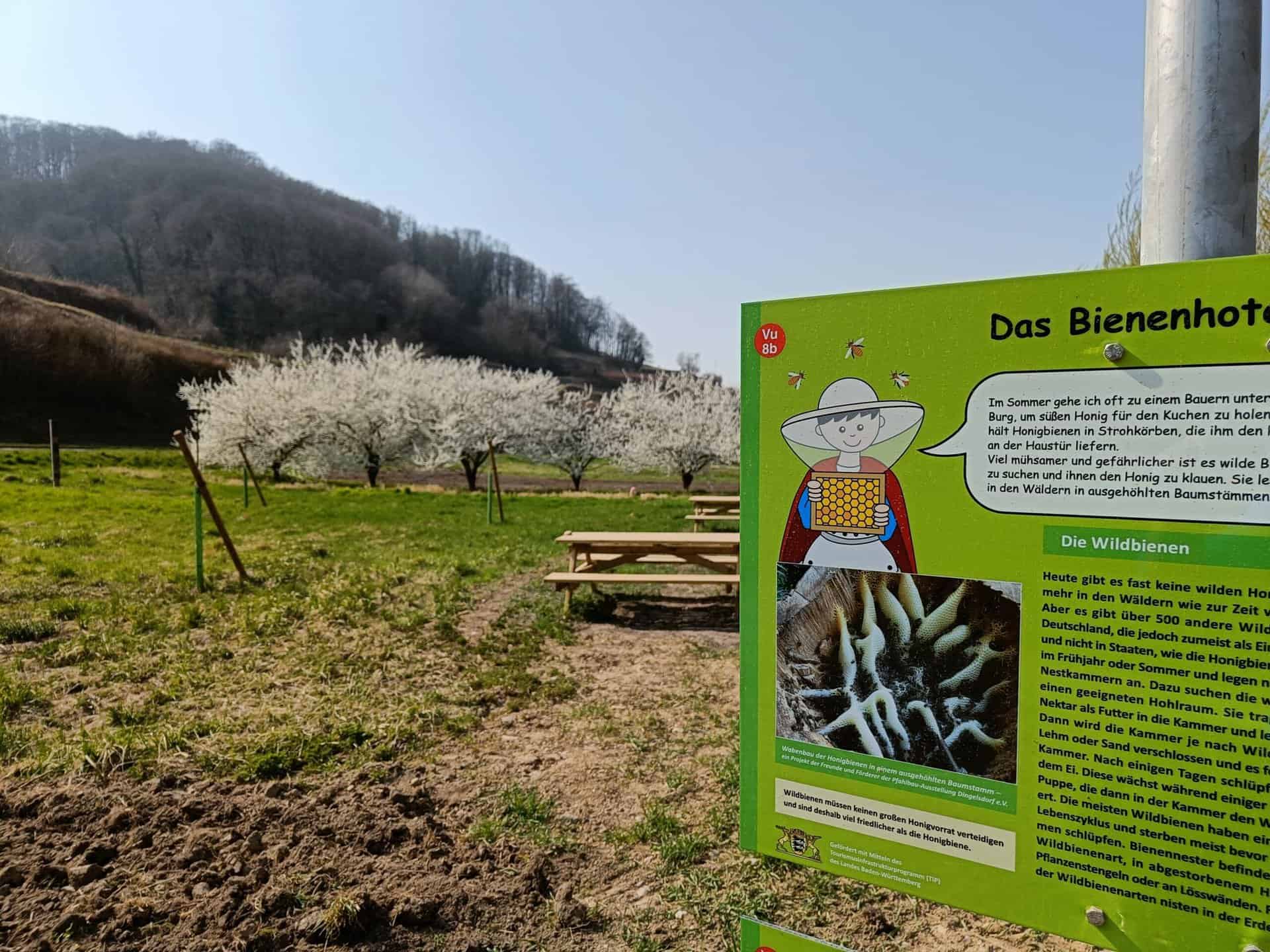
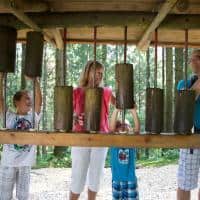
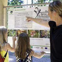
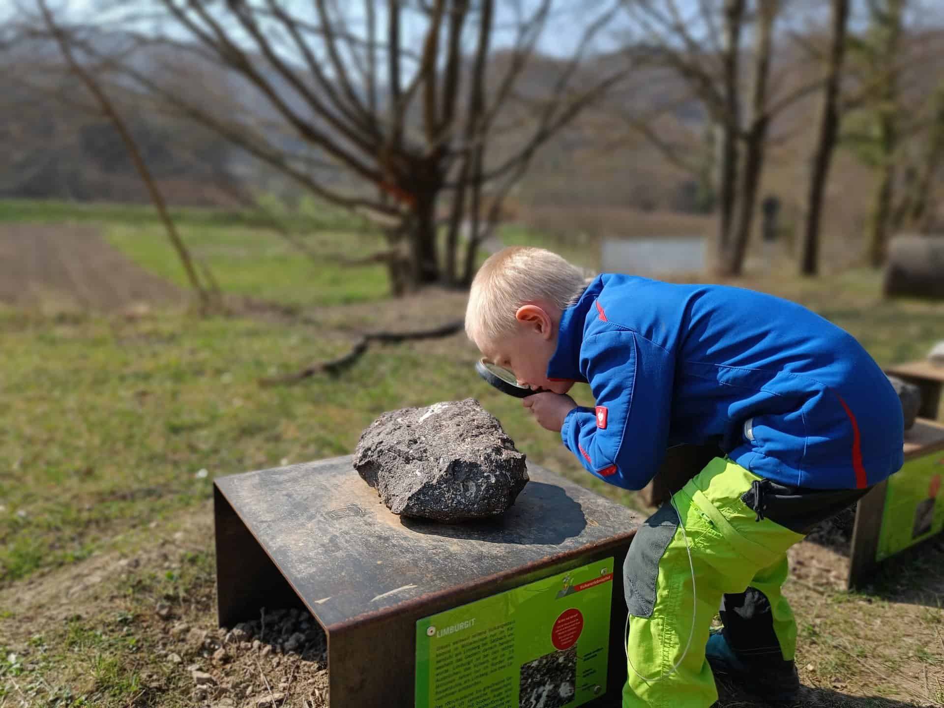
At the first station, Knight Hugo shows you the volcanic rock, which can be inspected more closely with a magnifying glass. You can then discover the sound of the stones. Then we continue to warm springs that were used for bathing in the Middle Ages. You can take a break at station 3. A seating area invites you to linger while the Children use their memory get a memory going. As you continue to follow the path through the vineyards, you will learn how the loess gets to the volcano and what work needs to be done in the vineyard throughout the year. In the Middle Ages there was a castle that no longer exists in its original condition, but can be discovered using a sounding pipe. After further information about archeology, you can look at an orchard with a wild bee hotel at the last station.
So, if you don't believe that warm water is gushing out of the ground or you want to spot a bird as colorful as a parrot, then head to the Volcano Adventure Trail!


Further information and a suitable flyer can be found here: https://www.vogtsburg.de/


