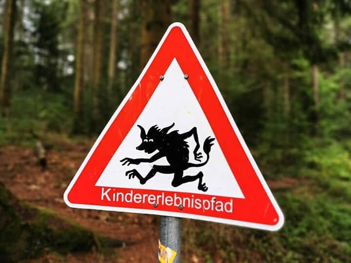
What can you expect?
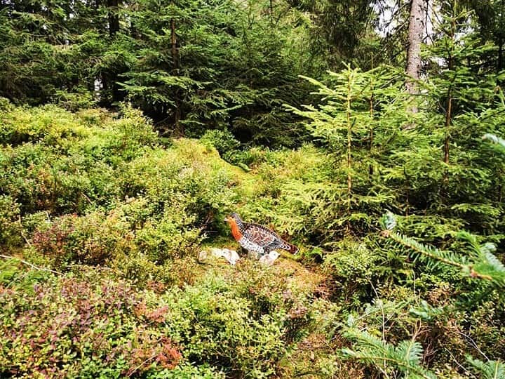
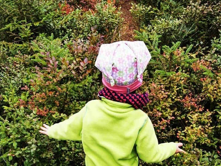
You can go on a lovely hike with your children on the Auerhahnsteig at Kaltenbronn. It's all about that here Auerhahn, which is considered the character bird of the Black Forest.
The Auerhahnsteig on Kaltenbronn was opened in summer 2019. Unfortunately, only around 30 capercaillie live here, there are around 300 in the entire northern Black Forest.
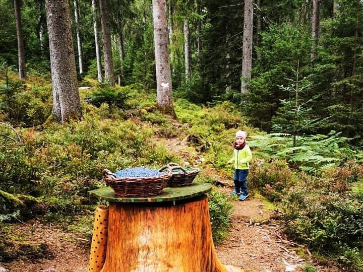
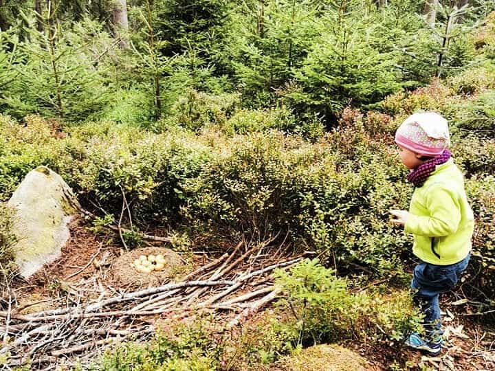
As the spruces grow taller, it gets too dark in the forest for the blueberry plants on the ground to thrive. But it is precisely these blueberries that the wood grouse loves. Of this he needs about 2 kg a day in summer, while 400 g of pine needles are sufficient in winter.
Special care measures by nature conservationists and foresters ensure that the blueberries get more light again on the Auerhahnsteig on Kaltenbronn. Storms are also very helpful here.
What is there to discover on the Auerhahnsteig?
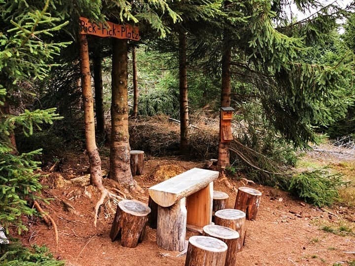
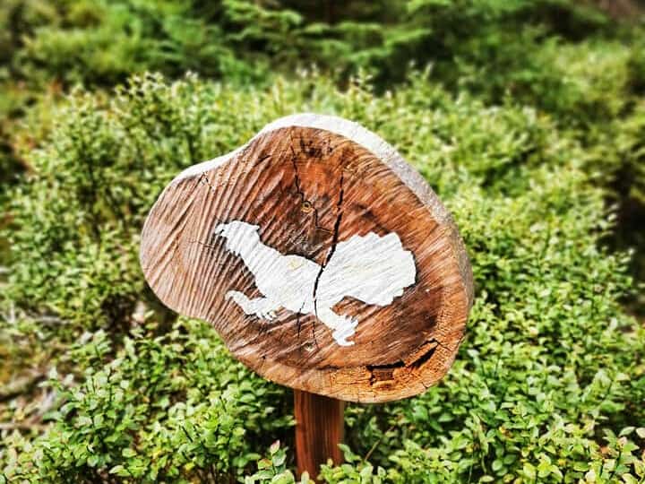
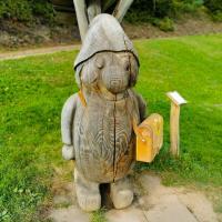
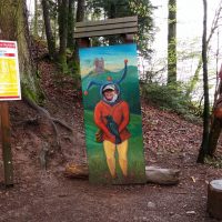
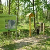
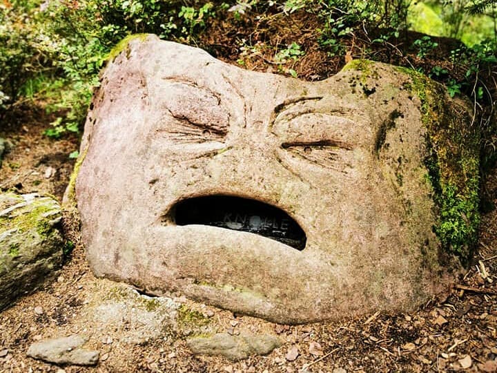
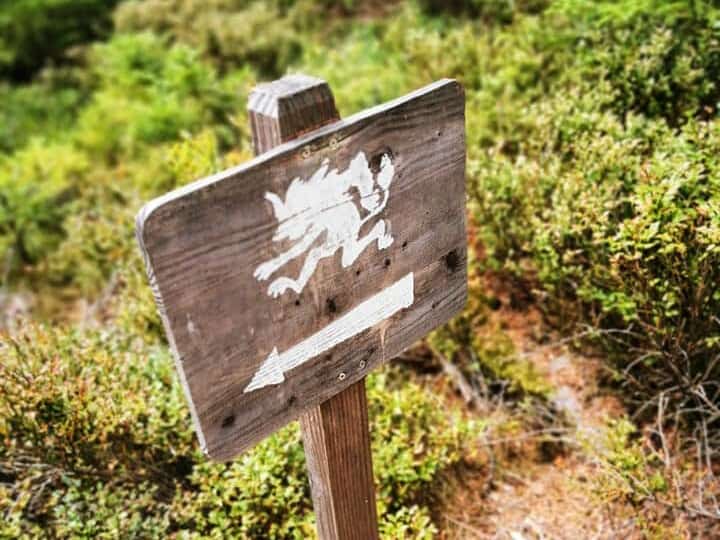
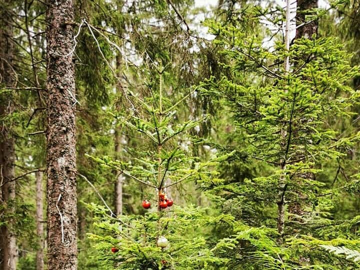
The path leads you across the habitat of the capercaillie. A running capercaillie on different trees shows you the way. On the way there is a nice picnic area to linger and seven interactive stations where you and your children can learn a lot about the grouse.
Get a flyer from the Auerhahnsteig am Kaltenbronn, because you can stamp it at the stamp station and then have free entry to the information center as a family.

Wich way do I have to go?
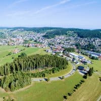
The Kaltenbronn information center is the start and finish. From there it goes slightly uphill and after a short stretch into the forest. Here you walk directly along the blueberry plants. Shortly before you reach the ski slope, there is a gravel path that continues above the ski slope. Later it goes right again into the forest and this path then leads back to the destination or the starting point.
How do you reach the starting point?
Coming by car from Bad Wildbad or Enzklösterle, please follow the signs to Baden-Baden and Kaltenbronn.
If you are coming from Gernsbach, head towards Bad Wildbad and Kaltenbronn.
Buses also go to Kaltenbronn from the towns of Bad Wildbad, Enzklösterle and Gernsbach.
There is a large car park at the Kaltenbronn information center.
Further information
The best time for a hike on the Auerhahnsteig am Kaltenbronn is from April to October. The trail is usually closed in the winter months. Depending on the amount of snow, it is still often accessible. You can get information about this in the information center.
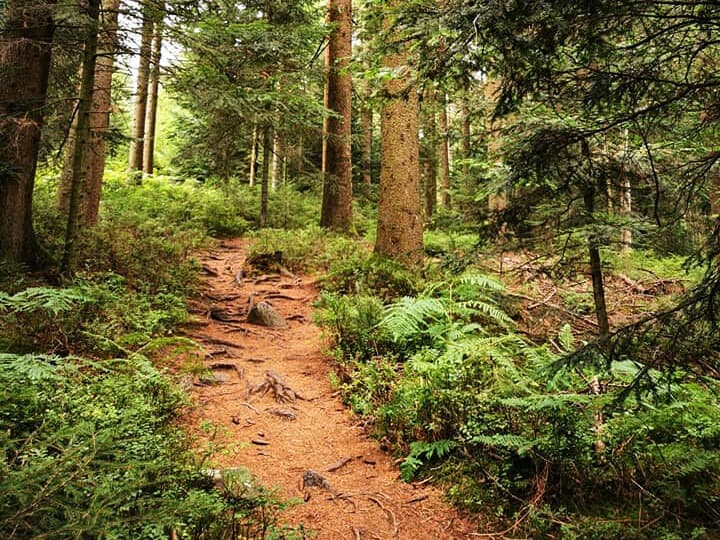
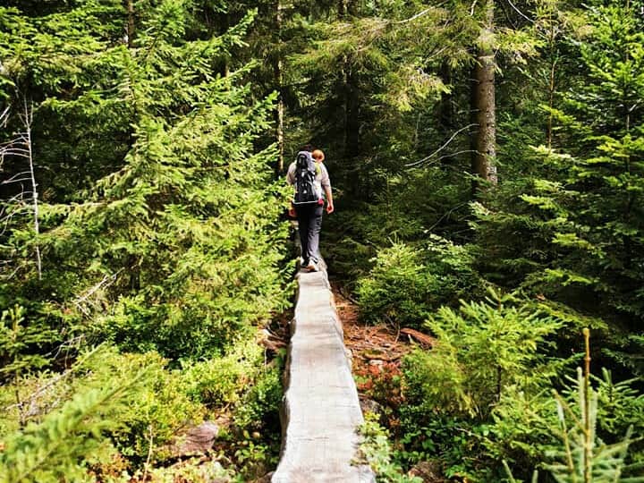
The climb leads across narrow paths criss-crossed with roots through the forest. Sturdy shoes are therefore recommended. A bit of fitness and sure-footedness would also be good.
The Auerhahnsteig is not suitable for prams.
The circular route is 2,4 km long and has an easy level of difficulty. The tour lasts about an hour and a half.
It goes 102 meters up and down. The lowest point is at 850 meters and the highest at 953 meters.
The use of the trail is at your own risk.


