
Start at the exit of Schönau towards Tunau. You drive about 300m on the road towards Tunau. Shortly before entering the town, turn onto the Wiesental cycle path which continues to Basel leads and drive along it until you reach the main road again. After the sewage treatment plant, drive a short distance on the B317 direction Schonau, cross this after about 50m and continue on the Wiesental cycle path to Fröhnd.
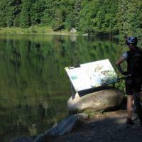
When you arrive in Fröhnd-Unterkastel, take the first possibility on the right and drive past a riding stable towards the farm. We follow the “blue diamond” over a steep ascent to Hof. When we arrive in Hof, we follow the through road to the right to the fountain, where we turn sharply left towards Zeiger, Hau and Ballon from. You follow the Hirtenweg, enjoy the beautiful views of the Wiesental and continue to drive along the "Blue Diamond" to the Kammfichte. At the spruce, which has been standing for over 90 years, keep to the left in the direction of the pointer. When you arrive at the pointer, take the first opportunity to go down a short distance on the right. You meet again on a wide gravel path which you follow to the Hau hiking car park.
At the Hau you touch the L131 which you take to the right to the entrance to Oberböllen. At the entrance to the village, turn into the village and drive at the fountain in the center of the village to the left of the "yellow diamond" in the direction of Belchen, Unterer Stuhlsebene and Schönenberg. Follow the “yellow diamond” to kilometer 17,9 and at this intersection take four paths straight down the steep path. After about 200m you will reach a wide gravel road again which you follow to the left. At kilometer 18,5, the Belchen cable car is already in sight and you can reach it if you continue on the path to the left.
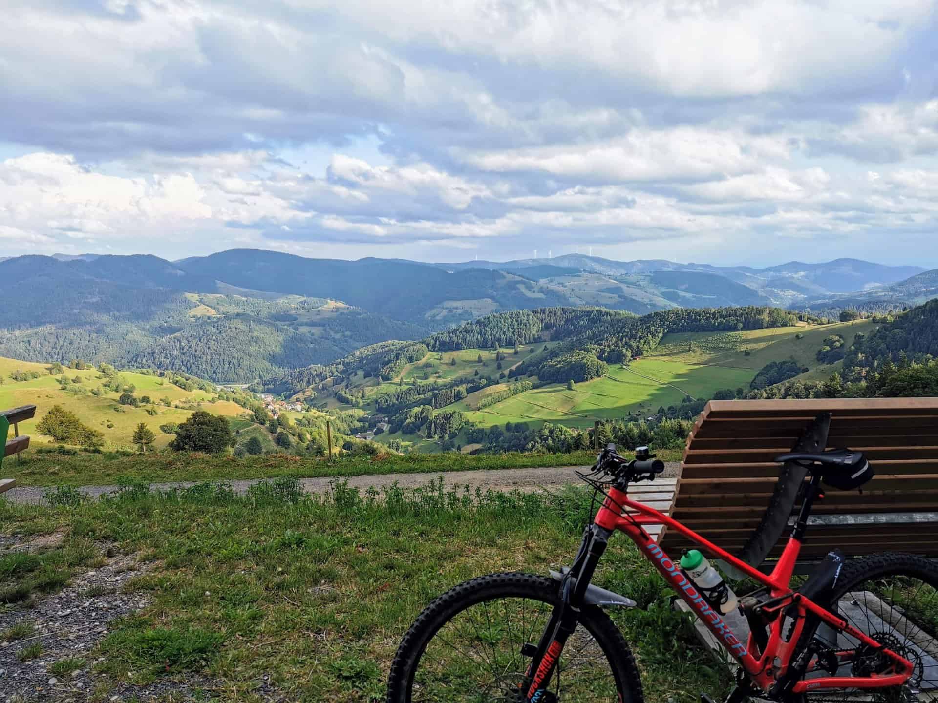
At the valley station of the Belchen cable car, drive approx. 500m downhill to the K6341, when you arrive there, keep left and after approx. 50m turn right again onto the asphalt path in the direction of Obermulten. In front of the old Black Forest houses, continue on a gravel path towards Hohtannhütte and Wiedener Eck. After another 100m, keep to the right and follow the “yellow diamond”. At the earthworm park, take the second right and then you will reach the Lückle (1155m).
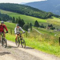
When you arrive at Lückle, you have reached the highest point of the tour, and now you are close to heaven. It never gets any higher, so take the second option on the right in the direction of Rollsbach. You stay on the same path up to kilometer point 25,8 and follow it downhill, at this point you turn sharply left towards "Auf den Winden" and Aitern. When you arrive “Auf den Winden”, turn right on the side street to the first houses in Aitern, steadily downhill. About 150m after the town sign, follow the MTB signs towards Utzenfeld and to the left Wieden. After about 200m the path forks at an old birch tree, you continue on the path to the right. In the big bend at kilometer 29,5, leave the gravel road and turn left. After a few meters, the path turns into asphalt, you only drive briefly on the asphalt and then immediately turn again, following the MTB signs, into the steep gravel path leading downwards. Do not miss the magnificent view of Utzenfeld on the fast descent. After the steep descent you reach a paved road again which you follow to the left to the factory buildings, at the factory building on the right and immediately after the bridge right again and you drive directly towards Utzenfeld. When you arrive in Utzenfeld on the main road, turn a few meters to the left and right in front of the Gasthaus "Wiese" again into a residential area. Passing the kindergarten, the route continues across the meadow. On the other side of the meadow you come back to the Wiesental cycle path which you follow to the starting point in Schönau.


