
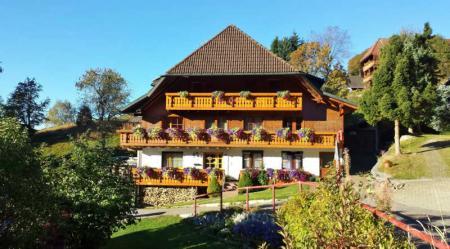
Kunigunde's educational cow trail in Lenzkirch-Saig is a great one Hiking trail for parents with children. Especially on weekends or during the week it can be visited with children and offers a lot of instruction, games and fun. If you have several children, there is interesting information for small children or babies as well as for older children on the Kuhle (h) r path. On the path, exciting questions and tasks are solved that you can learn about in a playful way. Children and parents can learn a lot about agriculture in the Black Forest, and the view up on the Kuhberg is simply wonderful.
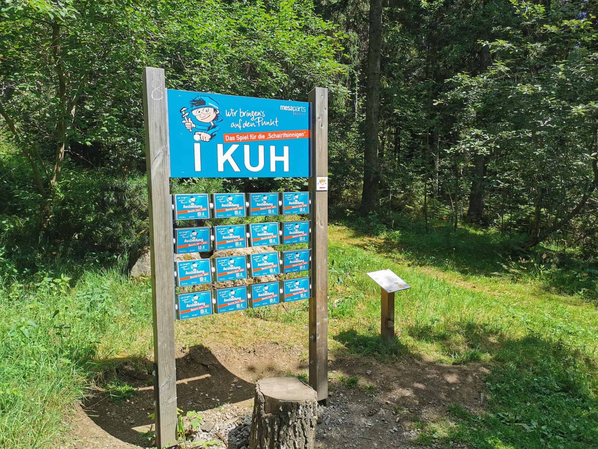
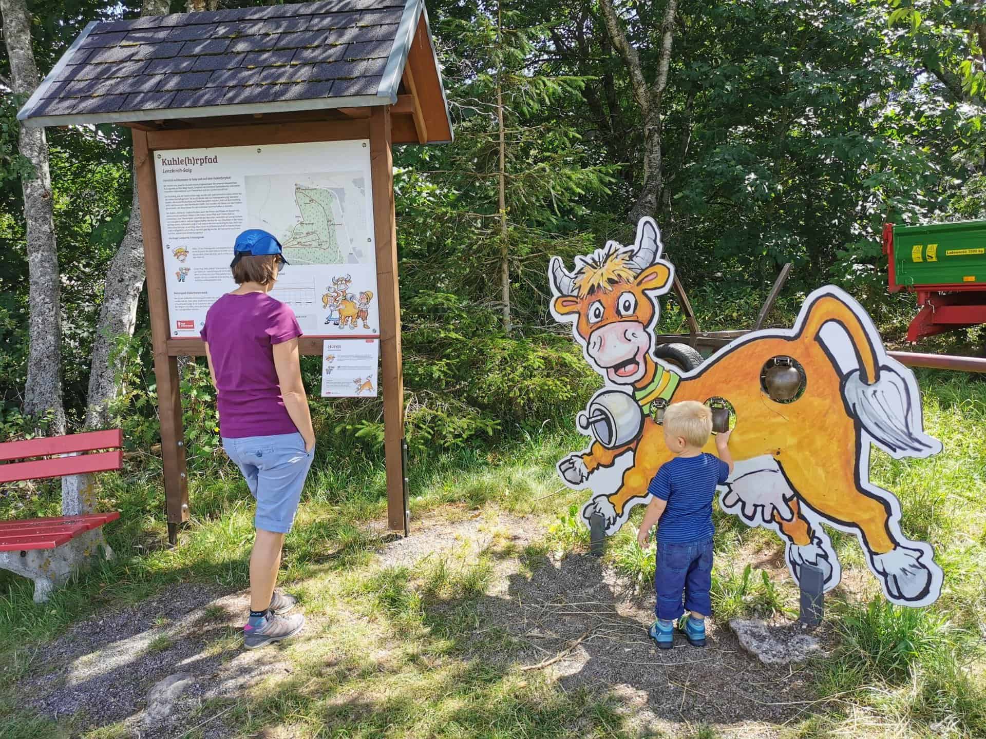
Kuhnigundes Kuhle (h) r path
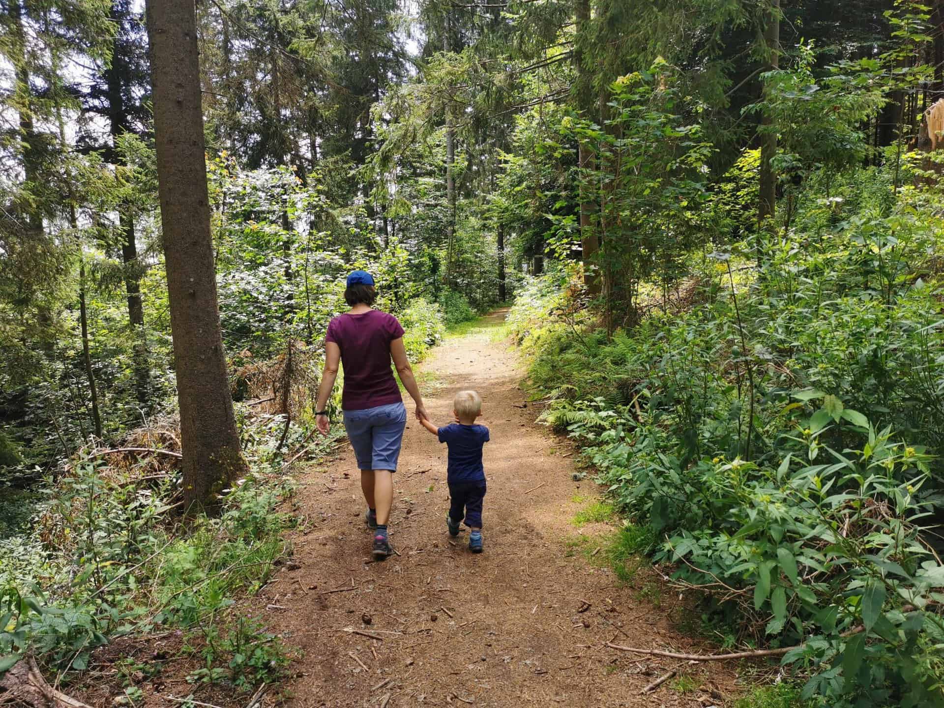
The path is family-friendly, suitable for pushchairs and offers a nice loop tour in the area of Lenzkirch on the Kuhberg in Lenzkirch-Saig. It's a "Kuhler" path - stay tuned!

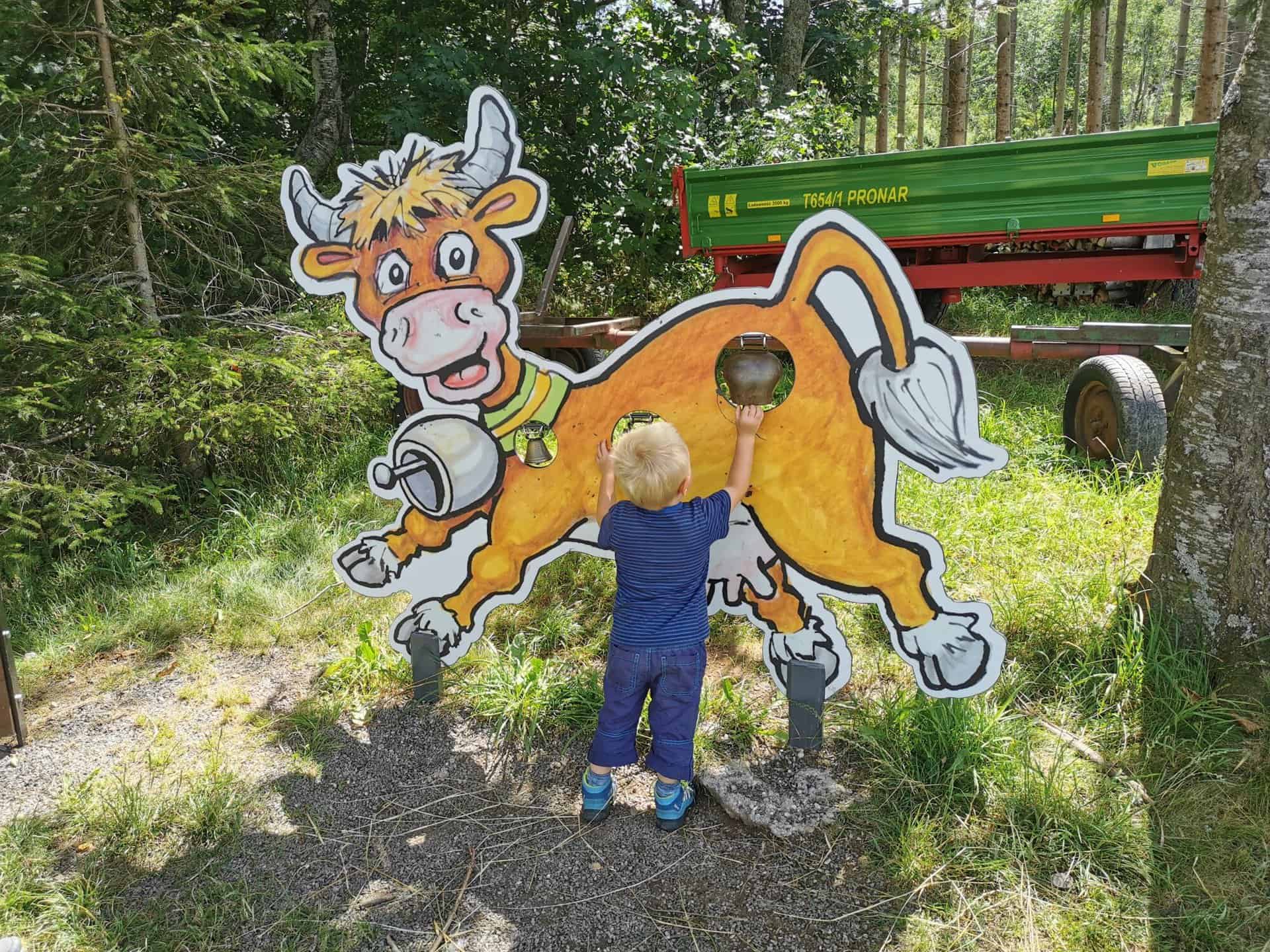
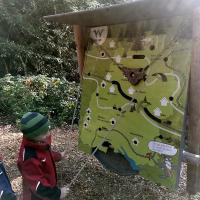
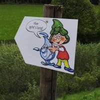
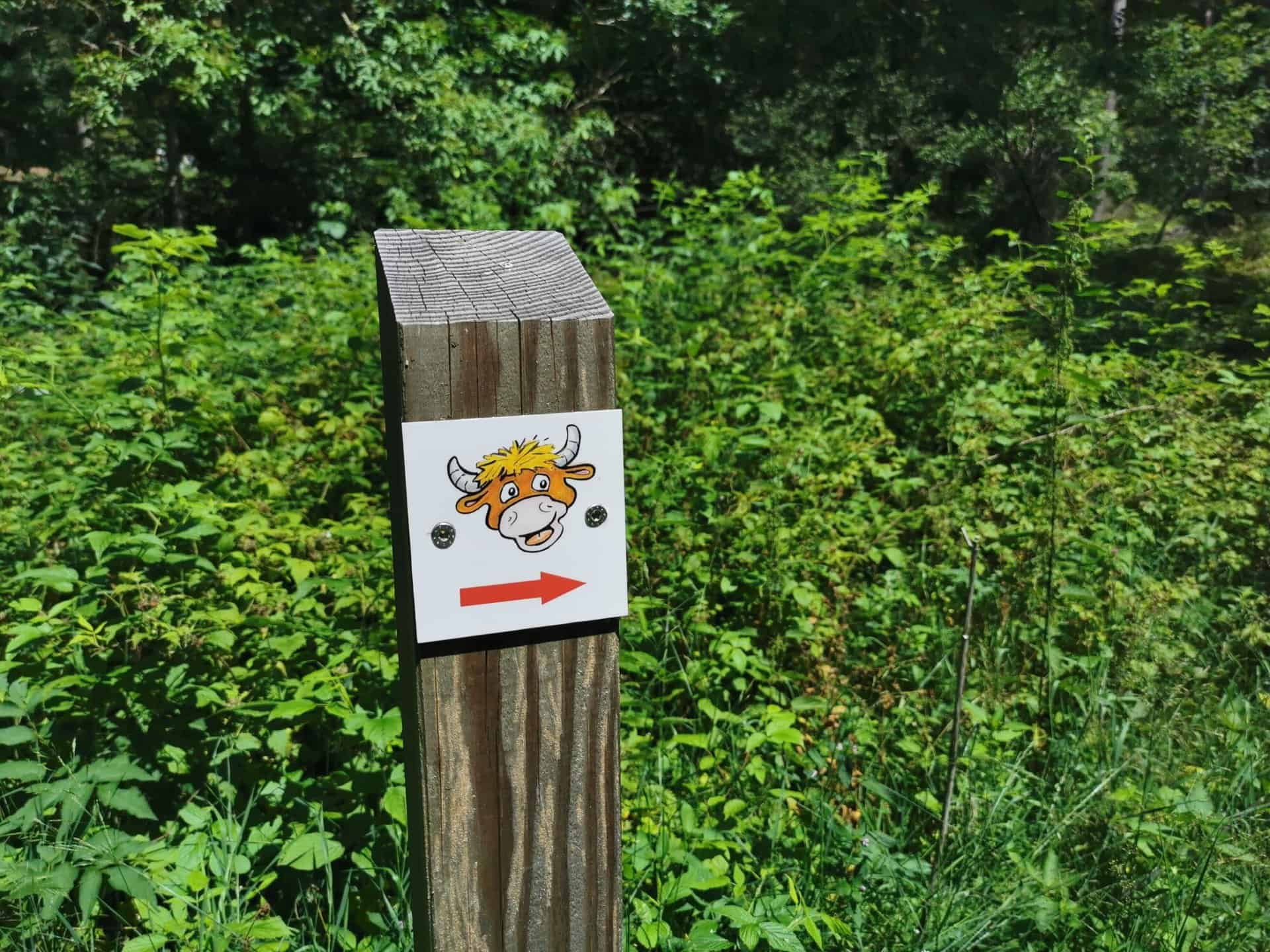
There is a cowbell right at the start. Now it goes uphill and also through the forest. We therefore recommend that you put on sturdy shoes when preparing for this excursion. Together with Kuhnigunde, the day will definitely not be boring. There are e.g. B. balance exercises, pinecone basketball, rubber boot bowling and much more. These are just three of the many attractions at the various stops on the circular route.
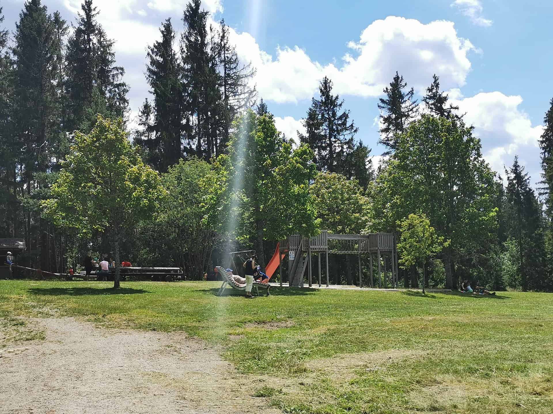
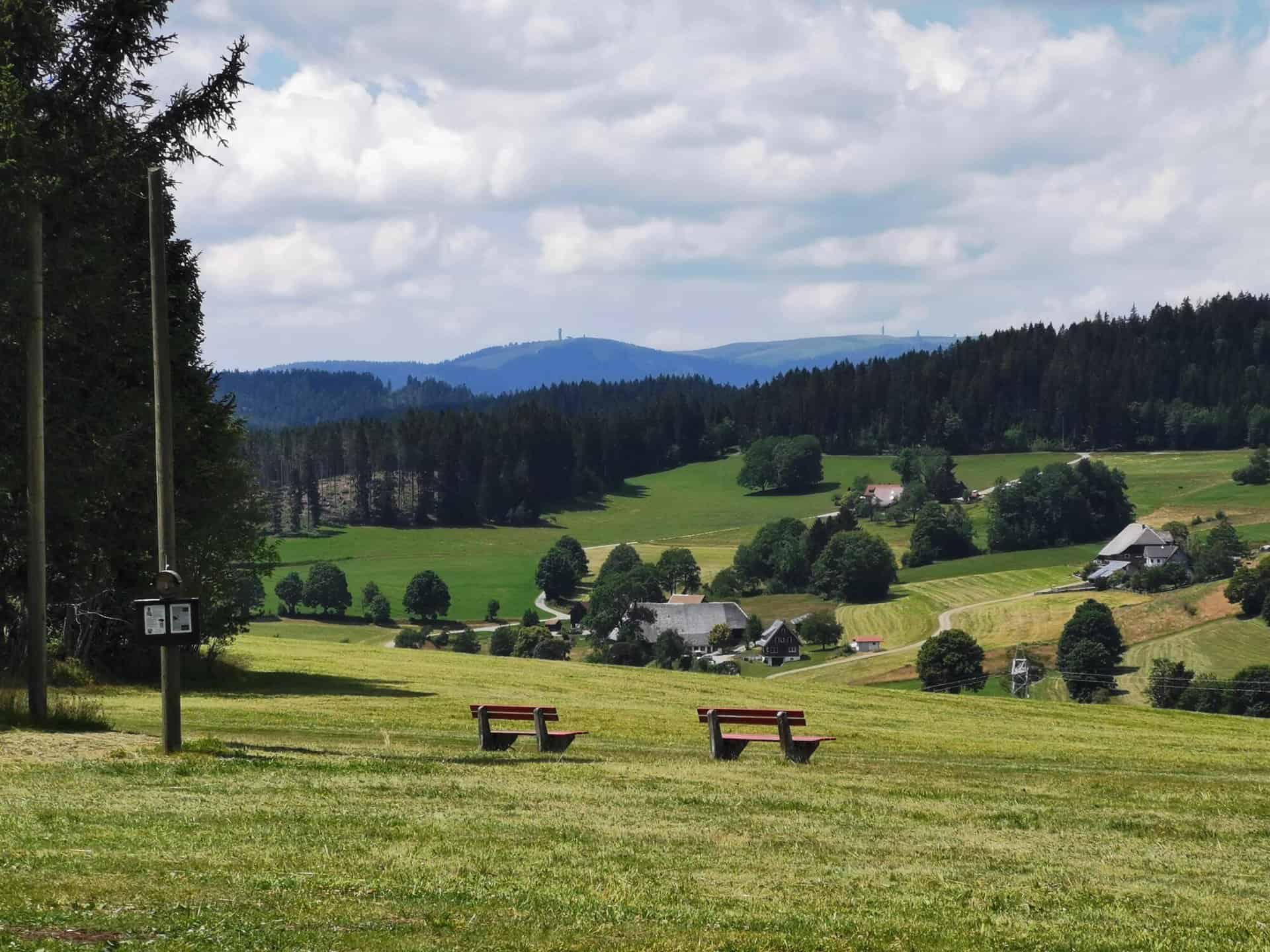
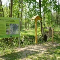
On the Kuhberg you will be rewarded with a wonderful view. There is also a nice playground where you can take a break.

Playground on the Kuhberg -
View from the Kuhberg
Directions
There are various ways to get there, which are described below:
From Freiburg: B31 towards Neustadt, exit B317 / B500 towards Basel / Feldberg / Waldshut-Tiengen / Schluchsee / Lenzkirch, on B315 towards Lenzkirch, take the junction to Saig, the way to Kunigundes Kuhle (h) r path is signposted.
From Donaueschingen: B31 towards Neustadt, exit B317 / B500 towards Basel / Feldberg / Waldshut-Tiengen / Schluchsee / Lenzkirch, on B315 to Lenzkirch, take the junction to Saig, the way to Kuhnigundes Kuhle (h) r path is signposted.
From Lörrach: B317 towards Donaueschingen via Schopfheim, Zell im Wiesental, Todtnau, Feldberg, exit B315 to Lenzkirch, turn off to Saig, the way to Kuhnigundes Kuhle(h)rpfad is signposted.
Of course, you can also travel by public transport. You have the following options here:
From Freiburg: With the S1 to Titisee (Black Forest), bus 7257 towards Lenzkirch, exit Saig Ochsen, then please follow the signs.
From Donaueschingen: With the S10 to Titisee (Black Forest), bus 7257 to Lenzkirch, exit Saig Ochsen, then please follow the signs.
From Lörrach: Take the train SBB87816 from Lörrach to Zell am Wiesental, change to bus 7300 Titisee. Take bus 7257 to Lenzkirch (Black Forest), get off at Saig Ochsen, then please follow the signs.
Where can I park?
Kunigunde's educational cow trail is on Kuhberg. There are enough parking spaces at the bus turning point. Buses will also find a parking space here.
short version
The path is suitable for pushchairs. Please wear sturdy shoes. The circular route begins with the first station, Kuhglocke. The level of difficulty is easy. The highest point on the Kuhberg is 1001 m and the themed trail is 2,4 km long. You can walk this way in about 1 hour and 30 minutes. The landscape is worth seeing. Enjoy your excursion in the Black Forest! Another tip: there is the newly designed Saiger Plätzle in the guest house. There are other great play opportunities for children and parents with a water playground, boules and slacklines.


