
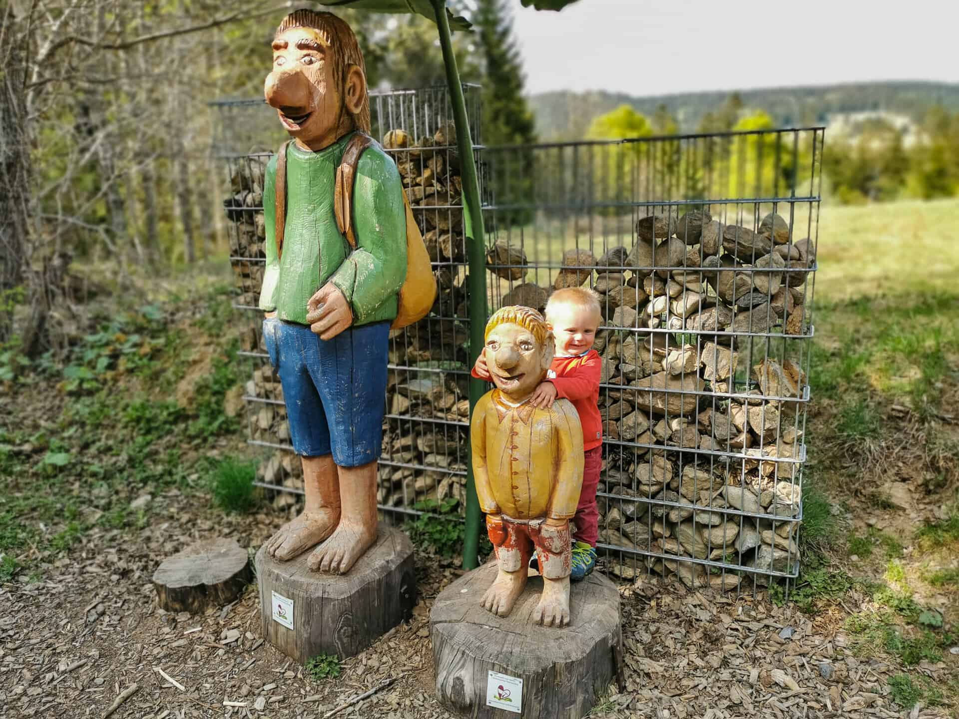
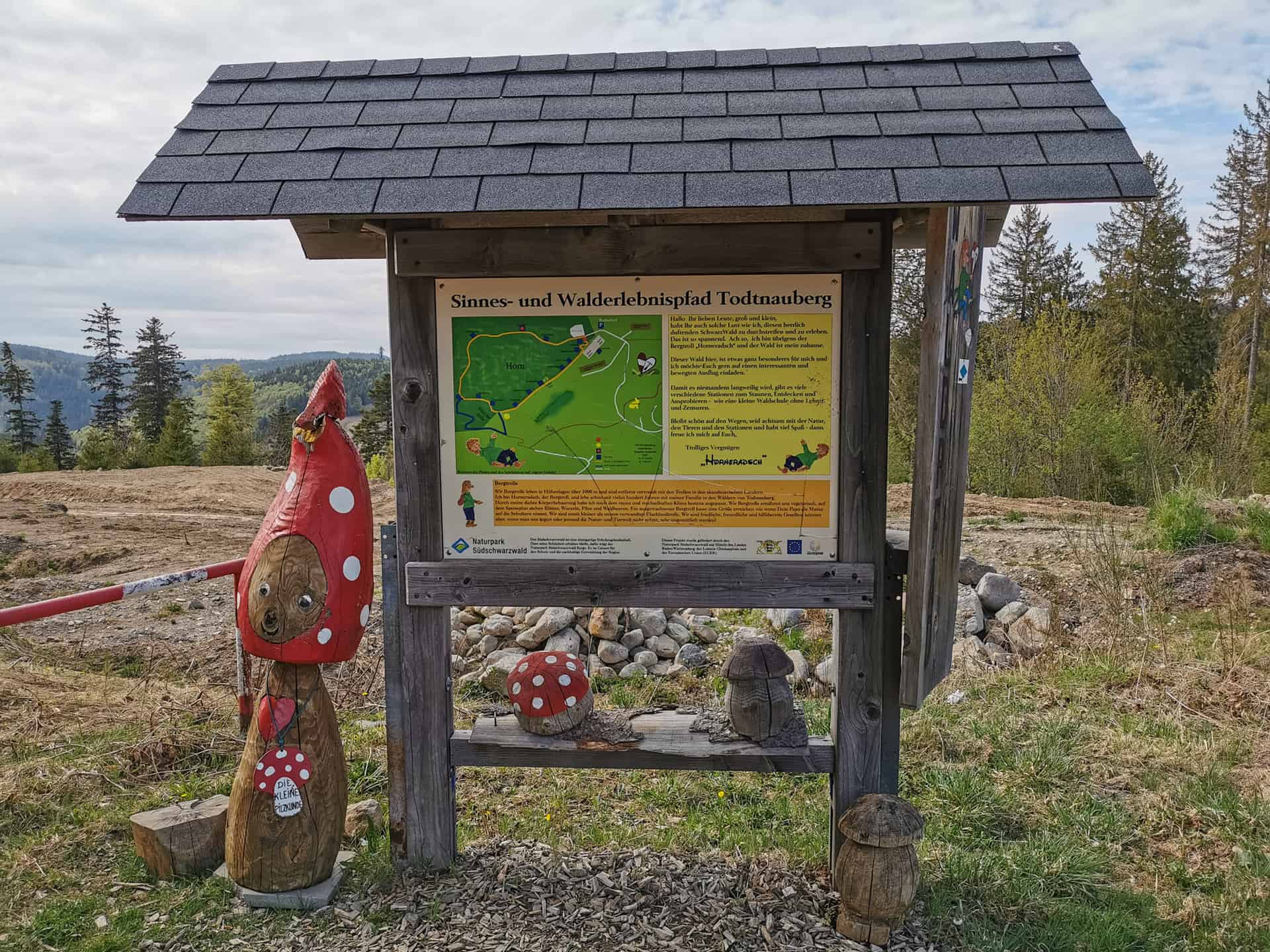
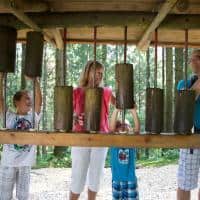
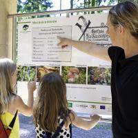
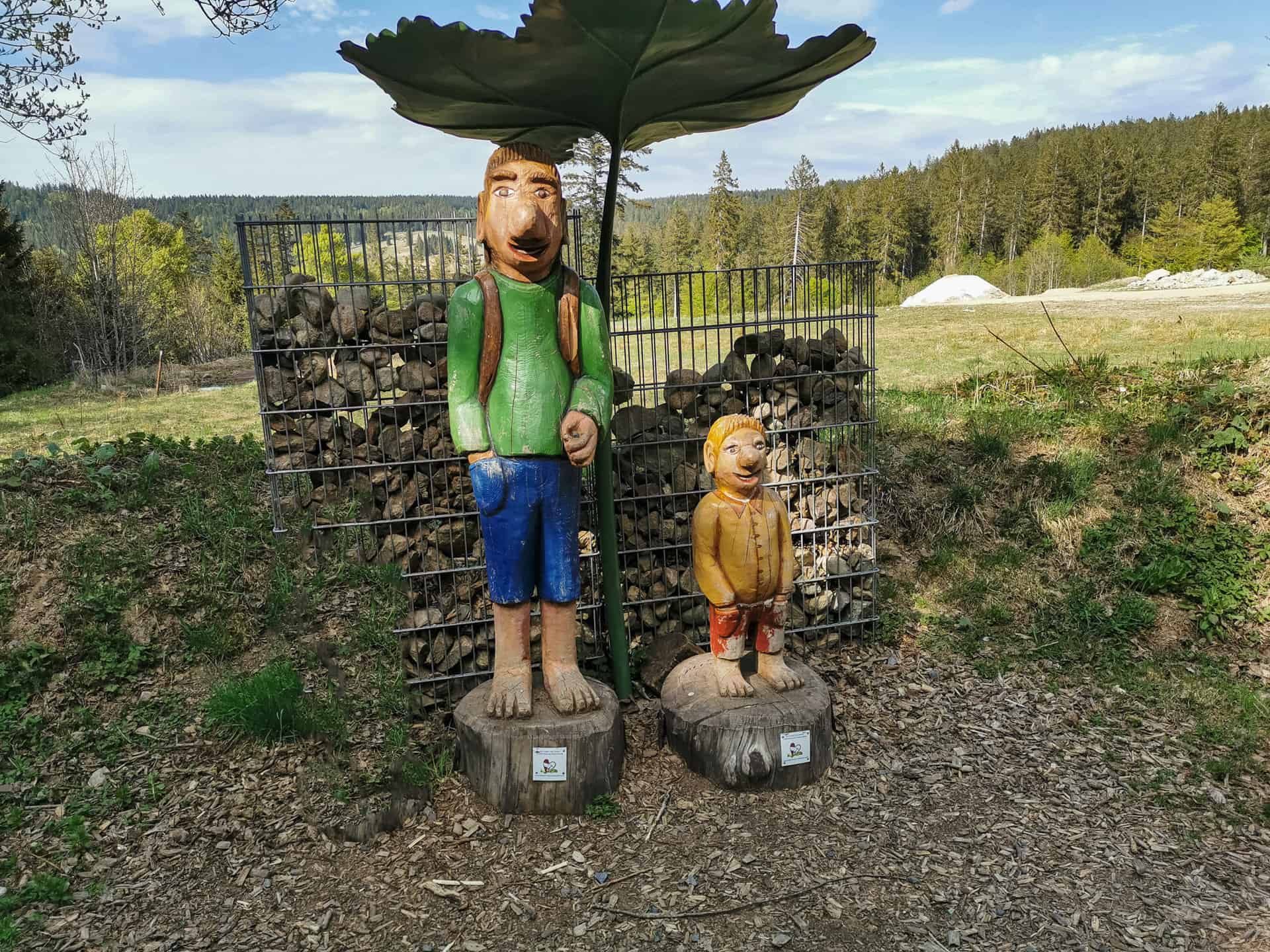
The "Horneradsch" sensory and forest adventure trail in Todtnauberg is great hiking pleasure for parents and children. Mountain troll "Horneradsch" shows you its forest and the inhabitants in it. Discover on the 2,5 km long Children's trail playfully nature and marvel at the view. Numerous stations along the “Horneradsch” forest adventure trail are waiting for you.

Mountain troll Horneradsch -
Horneraj Todtnauberg -
Verperhüttle
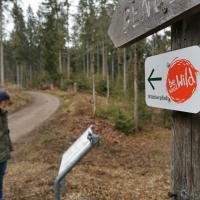
Directions
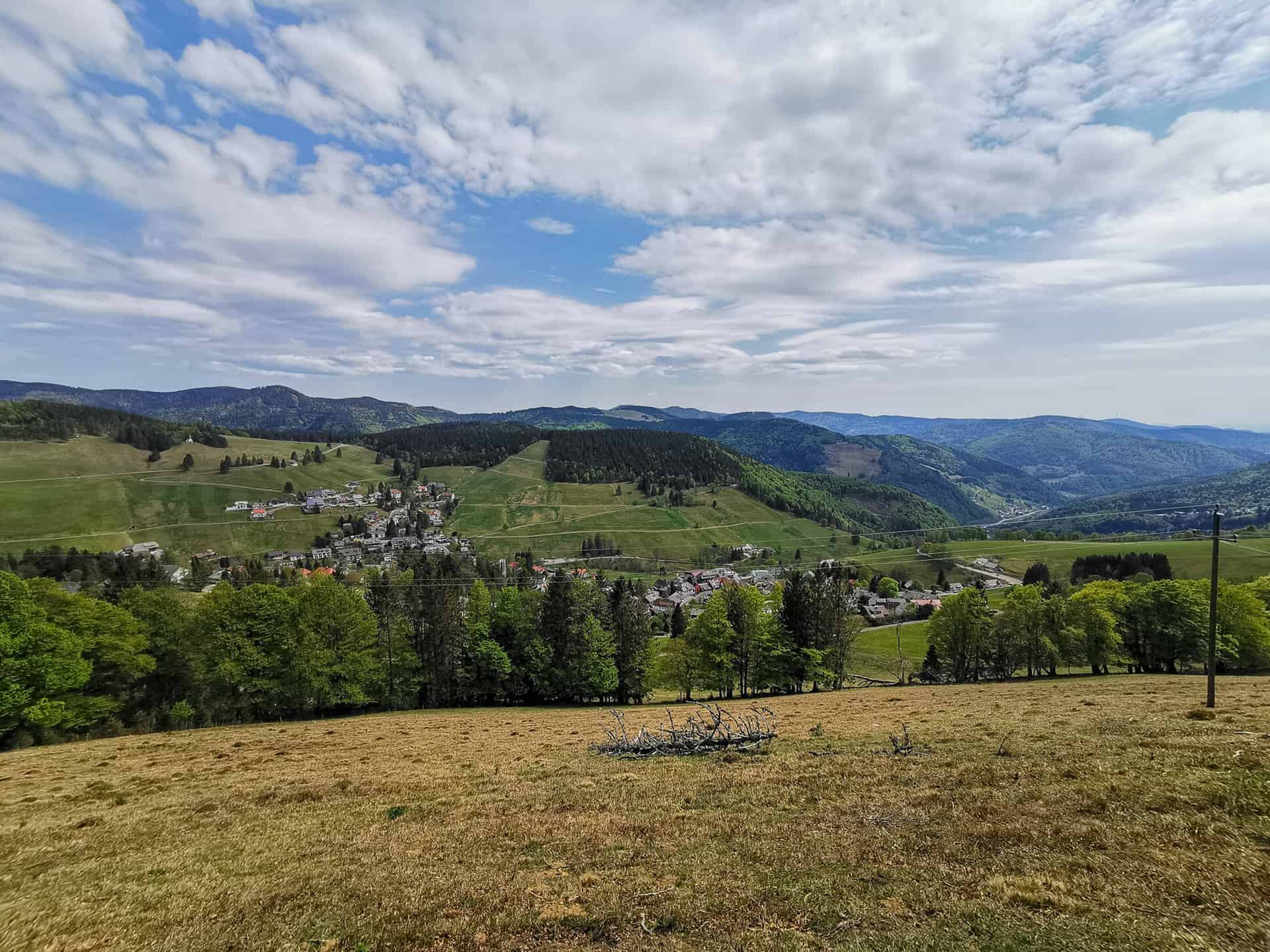
The hiking trail for children starts high above Todtnauberg at the “Radschert” hiking car park. Shortly after the start of the path you will walk past wooden mushrooms and also reach the bowling station. The path is now an interesting narrow forest path, which leads you along the edge of the forest above Todtnauberg. Past smell and discovery stations, you can let your gaze wander to the Swiss and French Alps at the same time.
-
Smelling station -
Jump at 1185m -
enjoy the view
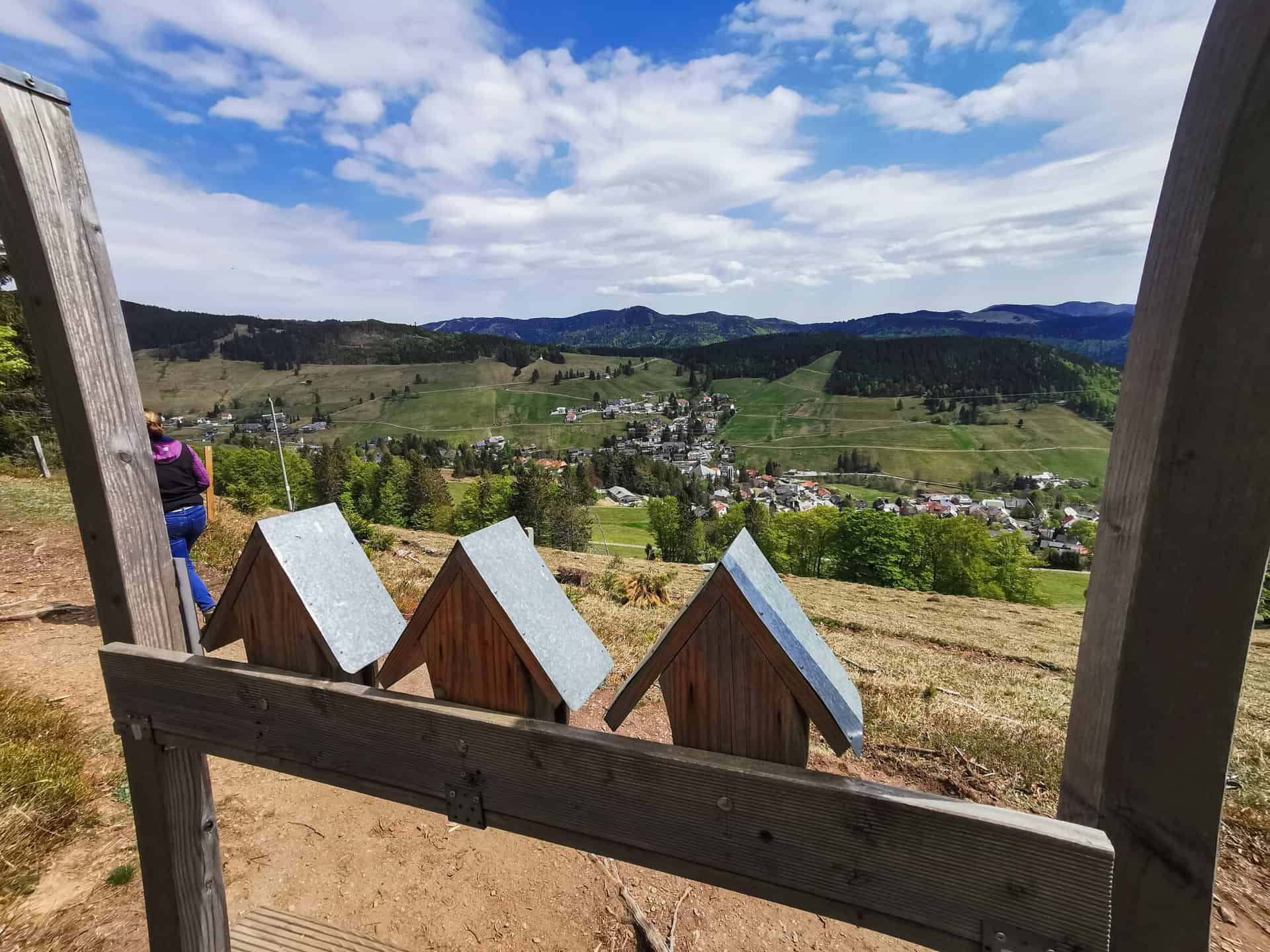

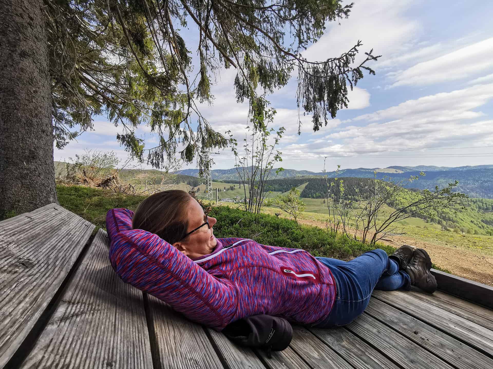
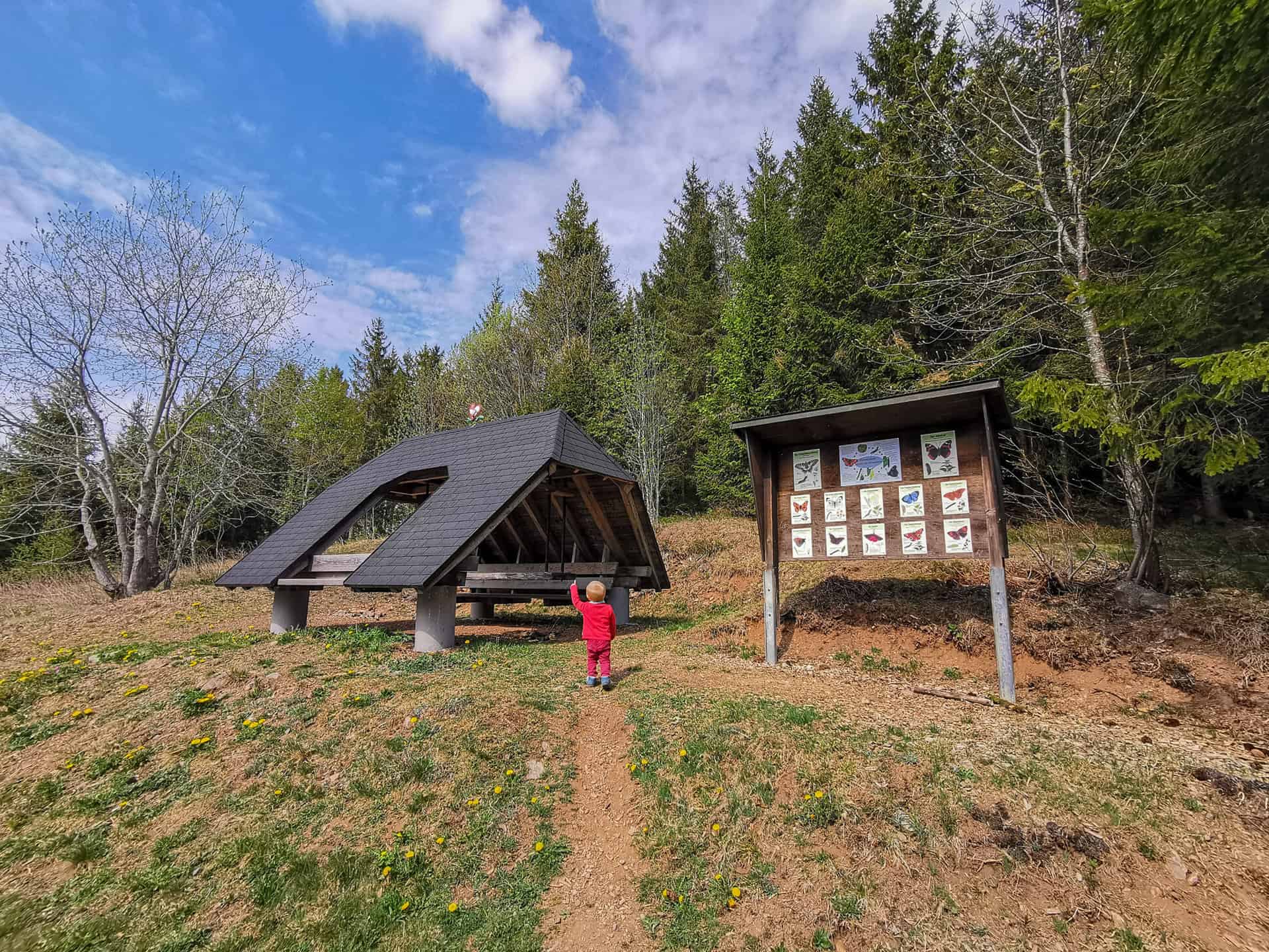
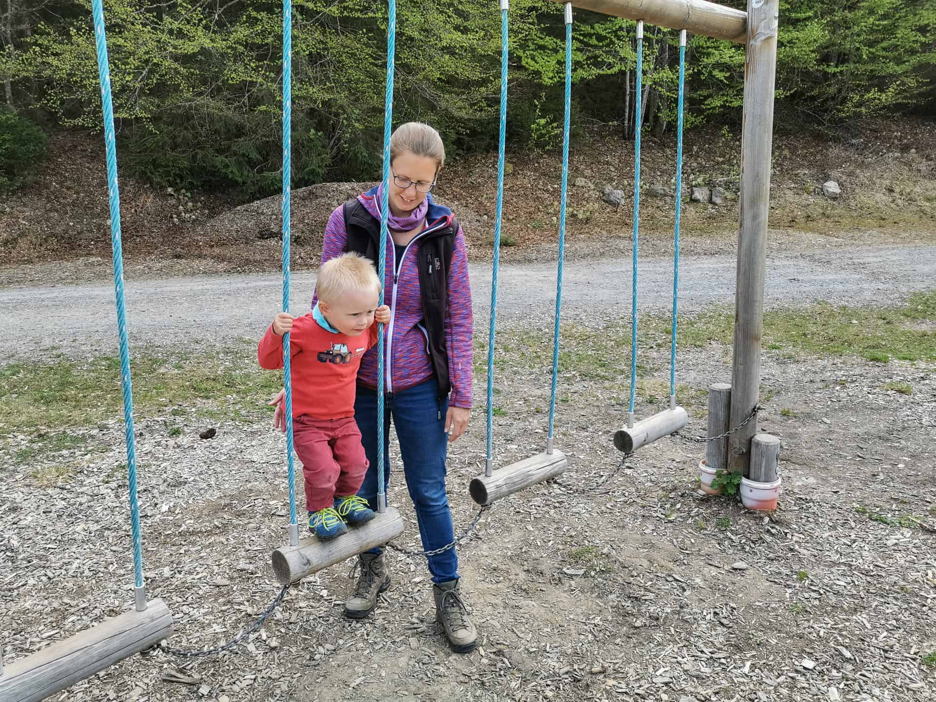
This section of the route is also ideal for relaxing, taking a short break and just enjoying the view and the landscape. The children have enough to play and romp around, either on the springboard or by throwing the cone.
After about half of the route is behind you, you continue on a wide forest path. If you still have something to grill in your backpack, you can make a short detour to the grill hut "Ebene". All others now follow the path past a rotating puzzle, forest telephone and then reach the forest playground. It's not far from the forest playground to the starting point at Radschert.
Is the “Horneradsch” hiking trail suitable for prams?
Conditional, the first part of the path runs on a narrow path and can only be driven with an all-terrain vehicle.
-
Rotating puzzle -
Horneraj Todtnauberg -
Forest playground


