
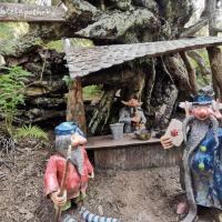
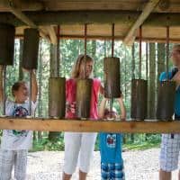
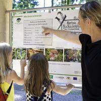
In Schuttertal there are many stations for children to run around, play and climb on the forest play path.
The forest play path extends over a length of about 4,1 kilometers. It takes about an hour or two to walk all the way. The entire route includes an ascent of 160 meters.
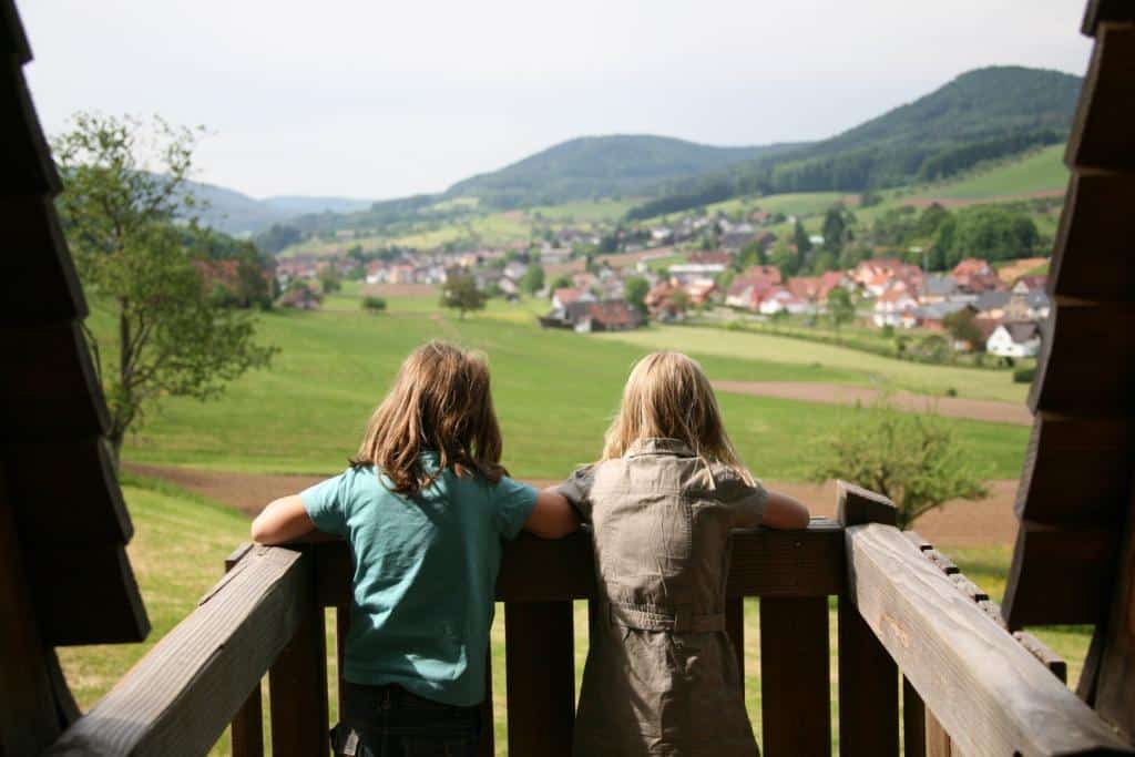
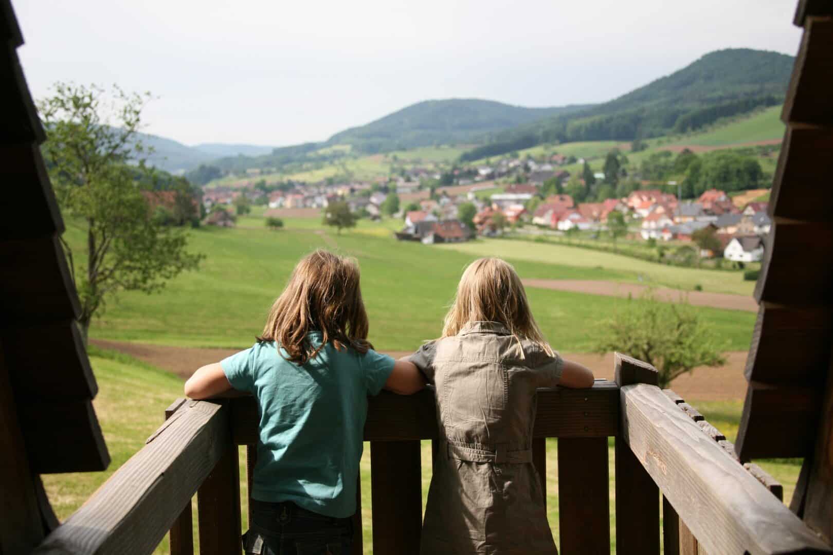
The numerous stations keep the children in constant motion, while the adults can rest, eat or play along. Of course, parents can also relax and watch and enjoy the wild nature. The view of the Schuttertal can be enjoyed between the individual stations.
Where is the starting point of this forest play trail?
First of all, there are various parking options. Since the Waldspielweg in the Schuttertal is ideal as an entry point at the church, you can leave your car at the Modoscherplatz Schuttertal car park. The hiking play trail also begins here. In addition, the end point is of course back at the parking lot where you left your car. Of course, the beautiful place can also be reached by bus and train. The bike or the footpath are also suitable for you, depending on the distance.
Are there places to stop for a break?
There are two restaurants, the Gasthaus Eiche and the Gasthaus Schutterblick.
Directions
As soon as you start from the Modoscherplatz Schuttertal car park, turn left from Modoscher Straße into Talstraße. Here you follow the valley road into the Untertal. The beautiful Schutter river of the same name accompanies you. After about 1,5 kilometers, turn right to the sawyer farm and first follow the dirt road. The stations begin from here. Here children can play at numerous stations, climb or rage. When you leave the dirt road, a forest path begins. Numerous stations await you here too, such as weaving under tree trunks or climbing onto various facilities.
The forest path then leads you to the Kapellenberg Schuttertal. Here you turn left, and then after about 200 meters right again to stay on the Waldspielweg in the Schuttertal. The Kirchgrabenweg then offers you a wide variety of field and forest paths and ensures breathtaking and untouched nature.
You will now pass the Church of St. Anthony. Here you turn left from Kirchgrabenweg into Pfarrgutstraße. Follow the street through the city until you reach Modoscher Straße. Now you have to turn right to get to the starting point of the forest play path in the Schuttertal. As soon as you have reached the parking lot at the Schuttertal primary school, the wonderful tour ends here.

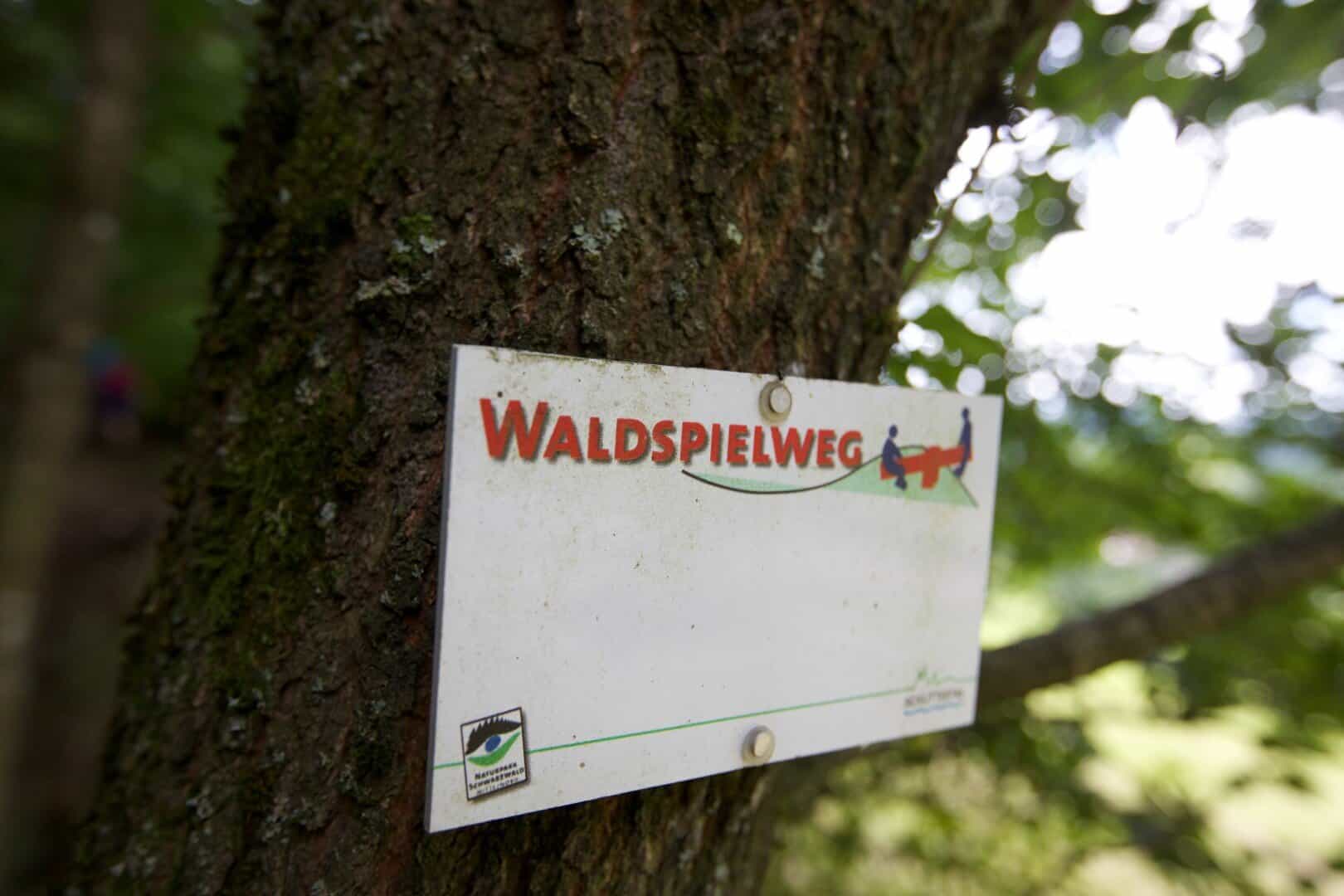
Waymarks 
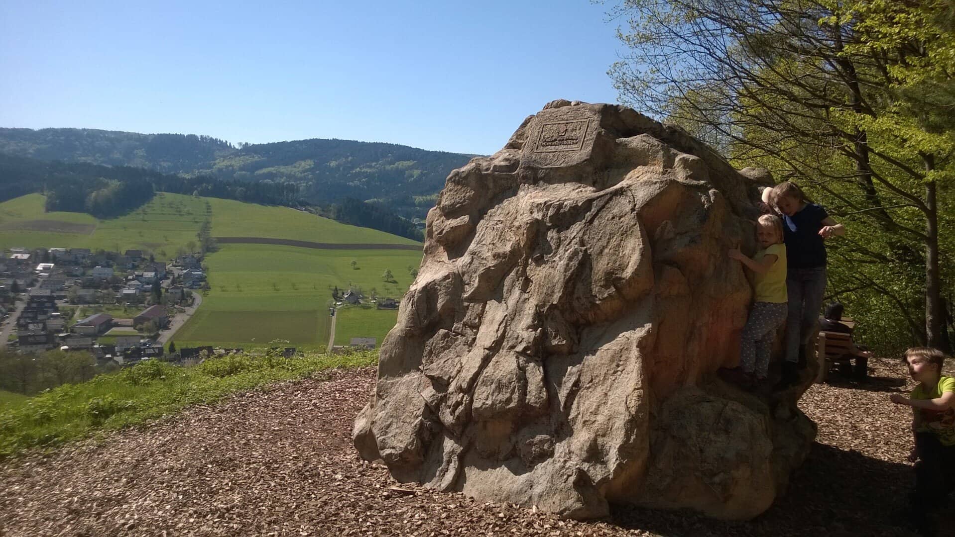
Great climbing station -
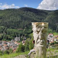
View into the Schuttertal


