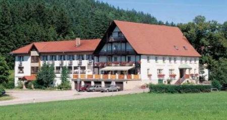
The Hohe Blauen in the southern Black Forest could become your next holiday region. The friendly people, the beautiful nature and the traditional villages will enchant you and provide you with an unforgettable holiday.
Where is the Hohe Blauen?
On the edge of the southern Black Forest, in Baden-Württemberg, is the approx. 1165 m high mountain, which is in the middle of the districts Lörrach and Breisgau lies. An adjacent and well-known place is for example Badenweiler. Geographically, the village is centrally located in the triangle between Germany, Switzerland and France. The Hohe Blauen is especially popular as a lookout point. The area around the Blauen is designated as a landscape protection area and comprises approx. 4119 hectares of mixed forest area, which extends to just below the summit.
History
The mountain was named in a document as early as the 14th century and was known as Blauwen or Blawen. In the 17th century the mountain was first referred to as "Hoche Blawen". The mountain originally got its name from the dark green, shimmering blue fir forests. These bathe the mountain in a bluish light and give it an unmistakable face. The town of Badenweiler, in particular, has a long history that goes back to Roman times. The old thermal baths were discovered in 1784. Remains of the imposing buildings can still be admired today.
The most beautiful hiking and biking trails to the blue
The routes around the mountain are well signposted, easy to find and offer hiking and cycling enthusiasts, nature, adventure and relaxation.
The hiking route to the mountain top
Those who prefer extended hiking routes can explore breathtaking hiking trails along the blue in the southern Black Forest. You can climb the mountain in two different ways that merge at 950 m. You can tackle the route from Badenweiler or from Marzell. Expect a total of 4 hours' walk. Visit the friendly inn on the top of the mountain and let yourself be pampered with traditional dishes at the Berghaus. The routes are easy to walk on, dangerous areas are provided with appropriate safeguards. The paths on the 13,4 km long route are well signposted and easy to find even without maps.
Route for extended bike tours
Explore the mountain in the southern Black Forest by bike and experience the diverse nature, breathtaking mixed forest cultures and a unique panorama. Start your tour at Schlossplatz in Badenweiler, in the direction of the town exit. After leaving the village, you can turn left directly and you are on the route to the top of the mountain. After a distance of 5,8 km keep to the right. Expect a journey of about an hour and a difficult climb.


