
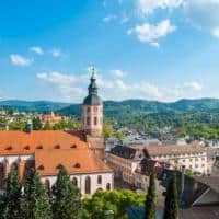
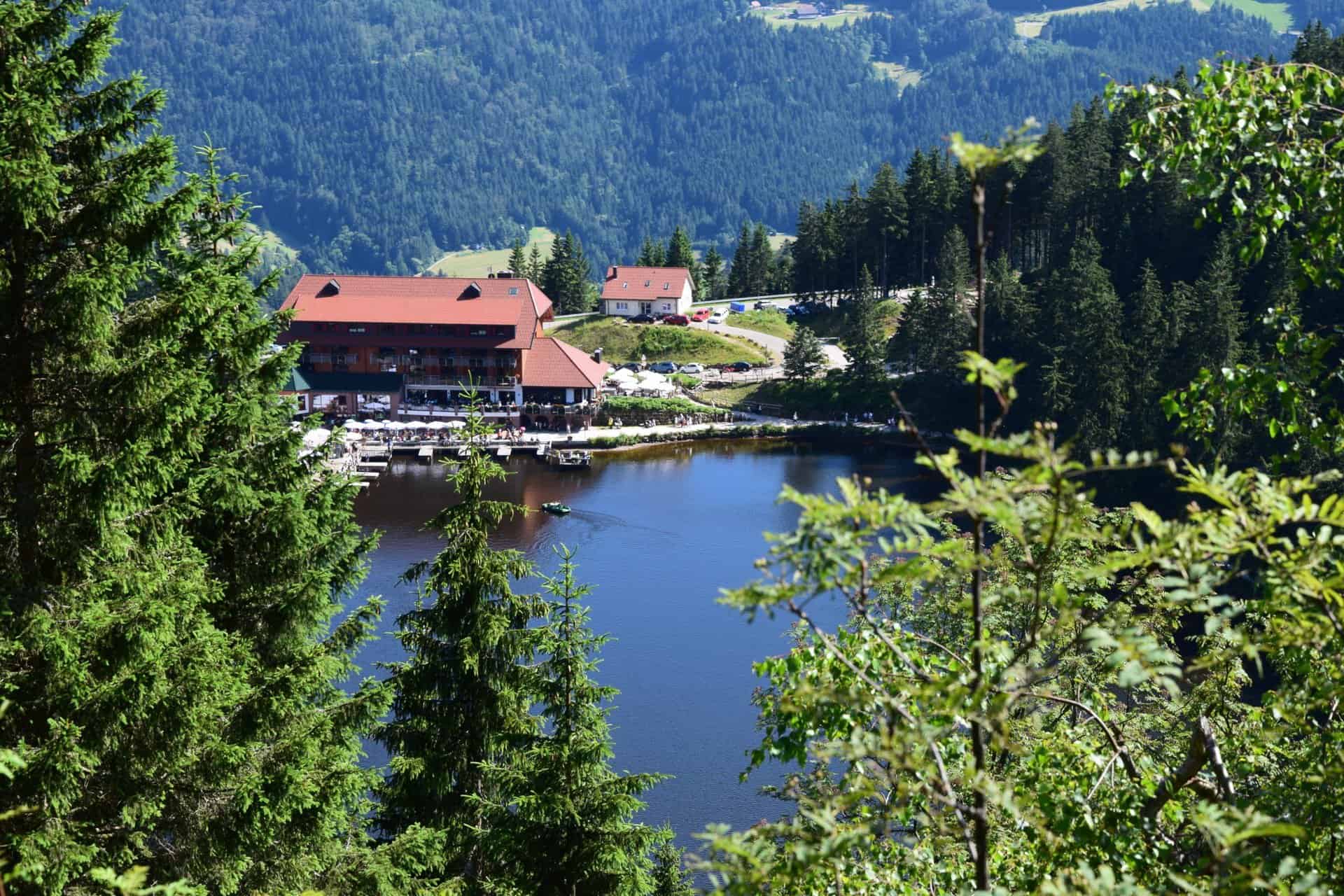
The Mummelsee is one of the most popular excursion destinations in the Black Forest. It is picturesquely located at an altitude of over 1.000 meters near the community of Seebach in the northern Black Forest. The well-known Black Forest High Road, one of the most popular holiday routes in Germany leads right past him.
The geography of the lake
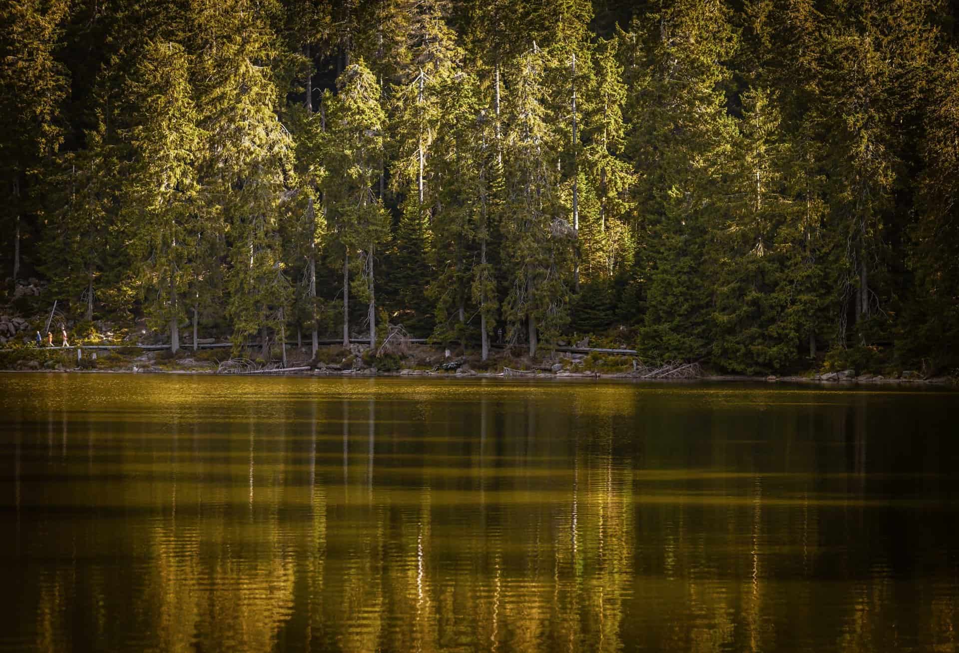
It is a so-called karst lake. Such lakes are created by the collapse of underground caves, occur primarily in particularly water-soluble rocks such as dolomite, lime and gypsum and there are several of them in the Black Forest. The lake is the largest of them. It is 3,7 hectares in size and around 18 meters deep and was created during the Ice Age. There are steep, wooded mountain slopes all around, the 1123 meter high Katzenkopf rises to the west of the lake and the slightly higher one to the north Hornisgrind, highest mountain in the northern Black Forest.
Stories about the karst lake
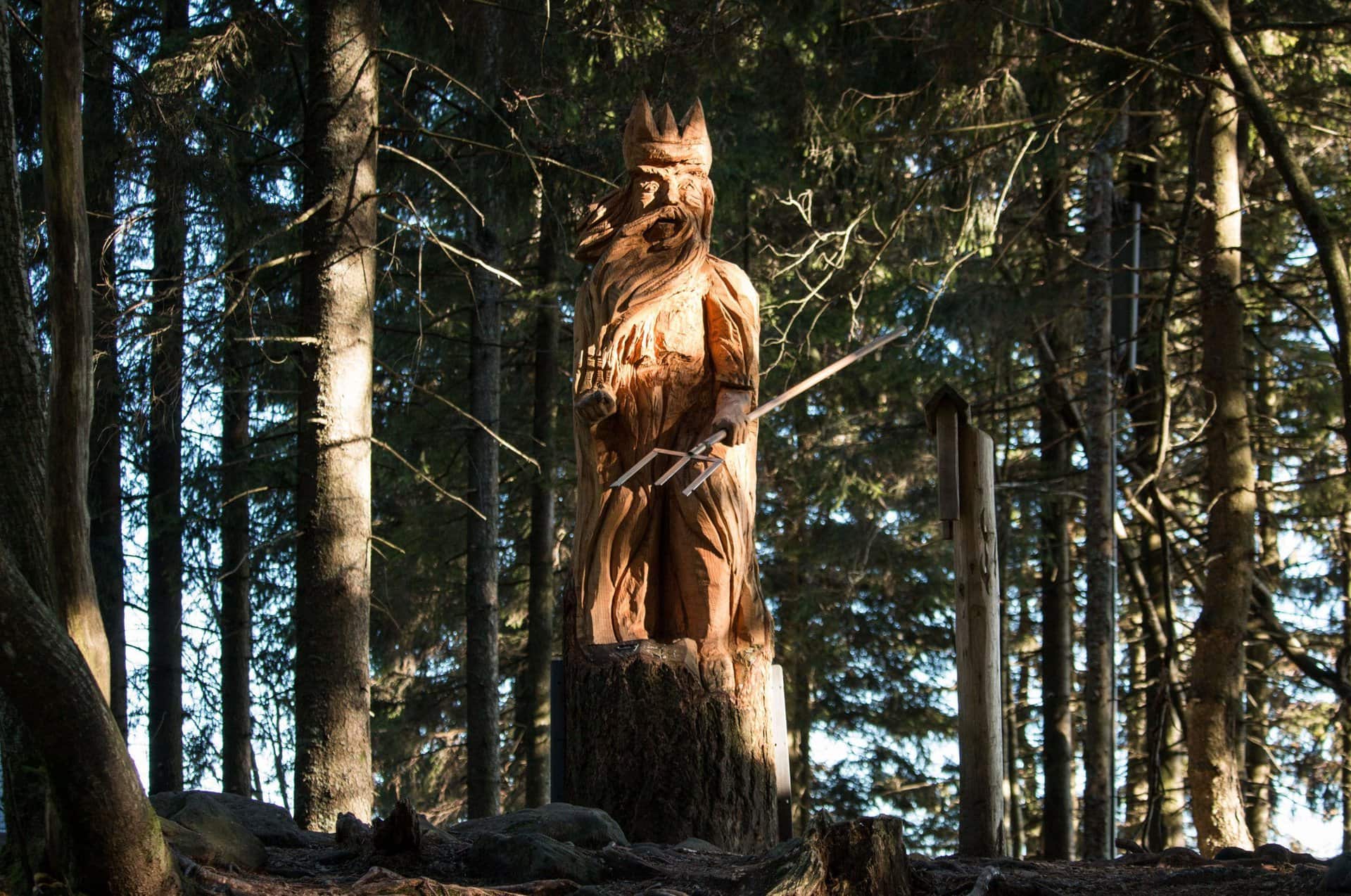
The quiet lake, in which the dark forests are reflected on its banks, is often referred to as the Eye of the Black Forest. Various legends and myths have grown up around him. A mermaid or ghosts are said to live in the lake, there is also talk of the Mummelsee king. According to an ancient story, even the entrance to the center of the earth is said to be in it. The name Mummelsee most likely comes from the water roses that used to be here and that were popularly called Mummel.

Tourist experiences in the region
The Mummelsee offers a lot for holidaymakers and day guests. For example, you can take wonderful hikes along its banks or climb the two nearby peaks. An art trail and a barrier-free circular path invite you to take a walk, and you can take a pedal boat on the lake when the weather is nice.
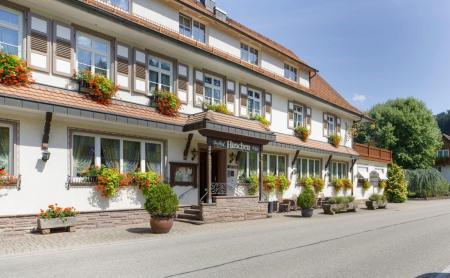
Directly on the bank there is a mountain hotel with a restaurant and options typical Black Forest Products like the famous ones Cuckoo, Black Forest ham or wood-fired bread. There are forest playgrounds and a small petting zoo for the kids and a cozy sun terrace for the grown-ups.
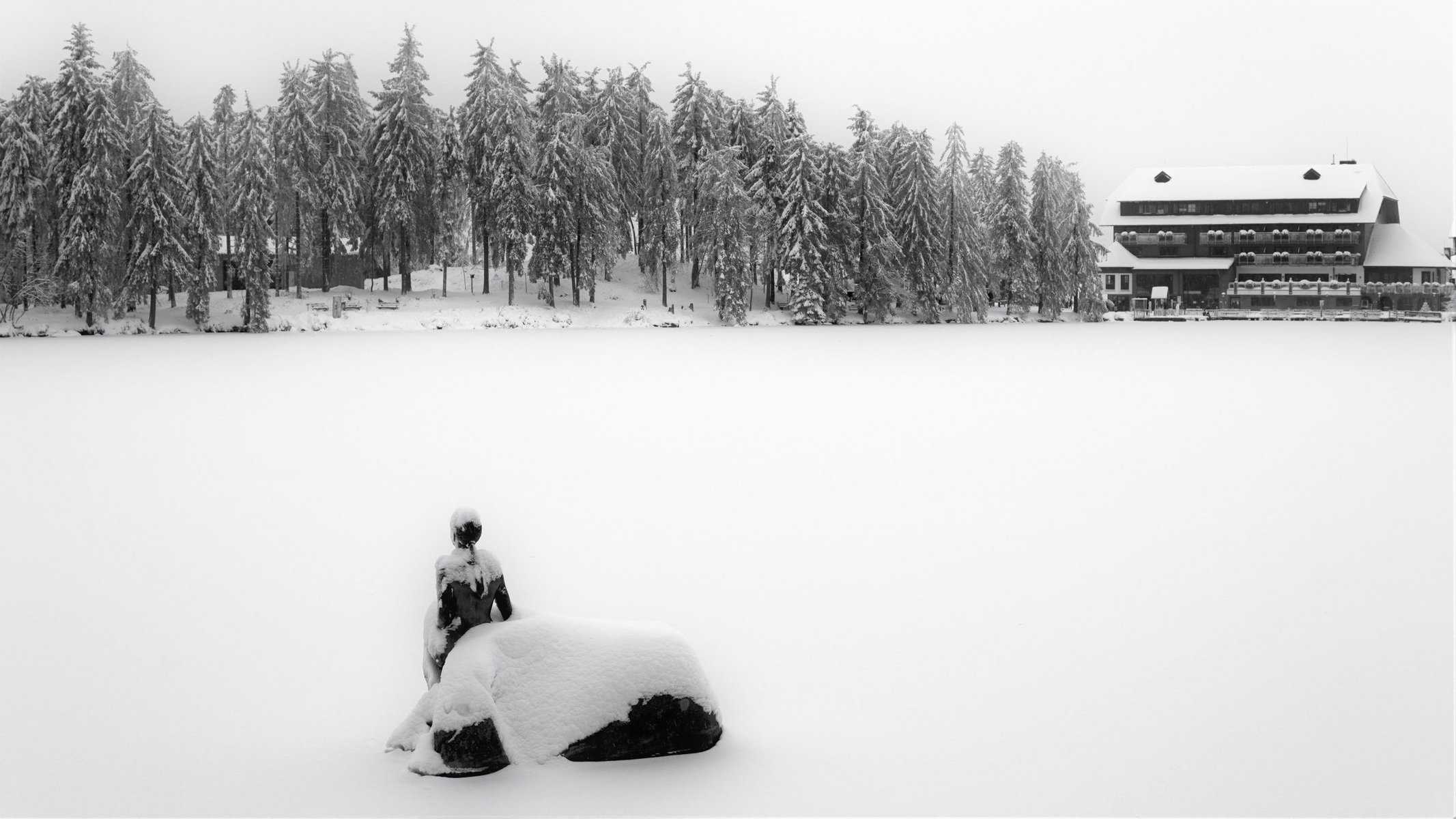
The Mummelsee in winter
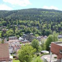
The picturesque lake has its charm in all seasons. That's why it's incredibly beautiful here even in winter. If still in the valley Dirty weather You can experience deep winter at over 1000 meters, do cross-country skiing, go snowshoeing or take a leisurely stroll through the wonderful winter landscape.

Hiking on the Mummelsee
Many hiking trails lead around the water and into the surrounding area. In the west, east and north, however, the Mummelsee is lined with steep, wooded mountain slopes and is not easily accessible here. And to the west the lakeshore rises to the 1123 m high Katzenkopf, while the bank rises to the north to the Hornisgrinde. Only towards the south is the Mummelsee bank almost flat. The federal highway 500, the Black Forest High Road, runs there. There is also a parking lot, a lookout point and the Mummelsee mountain hotel, as well as the St. Michaelskapelle a little further east.
A hiking trail runs around the Mummelsee from the southern area, which leads completely around the body of water. This hiking trail splits at the height of the north-west bank. Its inner circle also leads in the north over the inflow from the Hirtenstein spring, which is also located near the north bank.
Hiking trail from Berghotel Mummelsee to Schönmünzach
One of the longest stages around the Mummelsee is that from the Berghotel Mummelsee to Schönmünzach. This hike is connected with an ascent from the Mummelsee up to the Hornisgrinde. There is the Hornisgrinde Tower, which is open daily from 11 a.m. to 17 p.m. when the weather is nice. From here there is a wonderful all-round view.
Then it goes Hike continue past the Dreifürstenstein and through the Biberkessel into the Philippenkopf area. A natural path is followed here, which leads the hiker over the Diebaukopf past the Blindsee to the unique view of the Schurmsee. The hiking trail continues along the Schurmweg. Then you descend to Schönmünzach.
Short hike to Hornisgrinde
If you don't feel confident enough, you can also choose the hiking trail that leads past Mummelsee and Katzenkopf up to the Hornisgrindeturm. From here it goes over the Bismarkturm and the Bohlenweg to the Dreifürstenstein. Then it goes back on a path that follows the road that runs here back to the Mummelsee.
round trip (6,9km)
The hike starts at one of the hiking car parks around the Mummelsee. From here it goes briefly past the Mummelsee and then on the long-distance hiking trail from Pforzheim to Basel, the Westweg. The way to the summit of the Hornisgrinde leads over stony and steep paths. Every now and then a further view of the Rhine Valley is possible, as a hurricane storm a few years ago partially cleared the mountainside from the trees. The last few meters to the summit are conquered via steep stairs. These lead up to the Hornisgrinde observation tower.
The path then continues to the left on the ridge to the next viewing platform. From here you have a good view of the Rhine Valley along the direction Karlsruhe and Mannheim. The route then goes downhill over stony paths to the SWR broadcasting tower. Two kilometers further is the oxen stable, a place to stop for a break with simple home cooking.
The way back is the same way you came. However, this time it goes along on the right side, from which a view of the Murgtal and towards the Heckengäus is offered.
This circular hike is a 6,9 kilometer route that has to be mastered.
Hike on the Hochmoorweg
The Hochmoorweg is a special hiking trail that starts and ends at Mummelsee.
Here it is first of all to come to the Hornisgrinde. The Hornisgrinde Hochmoors arose partly from clearing and grazing from the 15th century. It is a wet heather on the plateau of the mountain. The raised bog can sometimes be up to 5 meters thick.
Here, hikers walk along boardwalk paths through the approximately 95 hectare Hornisgrinde-Biberkessel nature reserve. The source of the Biberach and the Harzbrunnen spring are also located here. In addition to these hiking trails, there are many other paths around the Mummelsee. These trails are also connected to other hiking trails in the area.
The way to the lake

Arrive with your own car
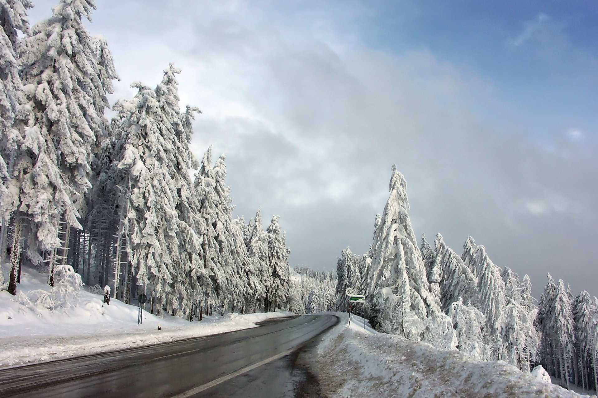
Located directly on the Black Forest High Road, is the How to get there The best way to get to the lake is by car. It is only a few kilometers from the A5 motorway. Use exit 53 to Achern and from there direction Seebach, then you will reach the Mummelsee after about 15 kilometers.
There are parking spaces for your car on the south bank of the lake.
Arrival by public transport
The closest train station is Seebach train station. From there you can take one of the six bus connections that go from Seebach to Honigsrinde via Mummelsee.
Hiking buses leave from there every day Baden-Baden and Achern, which will take you comfortably to your destination.
At the weekend, hiking buses run from and to Oppenau and once on Saturdays and Sundays from and to Offenburg.
Both the Baden-Württemberg ticket and the KONUS guest card are valid on these bus connections.
questions
The Mummelsee lies below the Hornisgrind between Ruhestein and Unterstatt on the Black Forest High Road.
The 1036m deep Mummelsee lies at 17m.
On a small circular path you can completely walk around the lake in about 10 minutes.
The hotel of the same name is located directly on the lake, with a Black Forest shop and a small circular route that takes you around the lake in 10 minutes.
The Mummelsee is one of seven cirque lakes in the Black Forest and is 17m deep.
The maximum length is 270m, it is 170m wide and measures 17m at its deepest point.
The B500 runs right by Mummelsee, and there are also plenty of public parking spaces there.


