
The most famous long-distance hiking trail in the Black Forest: the Westweg
In 1900 the Black Forest Association created the Westweg as the first long-distance hiking trail.
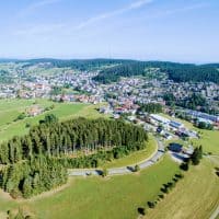
This 285-kilometer long-distance hiking trail leads through the beautiful Black Forest. The route begins in Pforzheim, in the northern Black Forest the route runs through Black Forest National Park and forks on Titisee. The goal of the long-distance hiking trail is Basel. In 2007, the quality trail was adapted to the needs of modern hikers and has been one of the best long-distance hiking trails in Germany ever since.
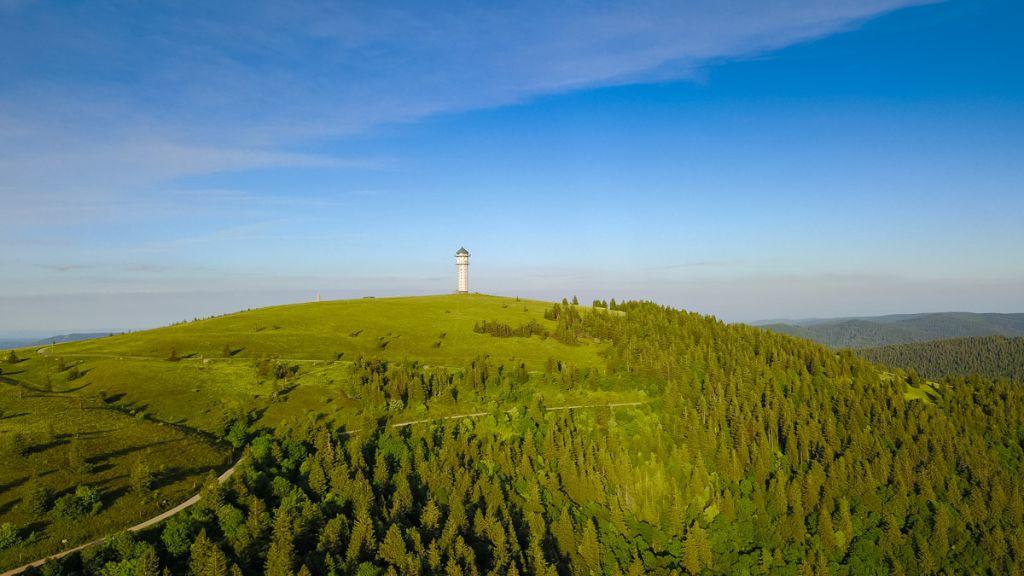
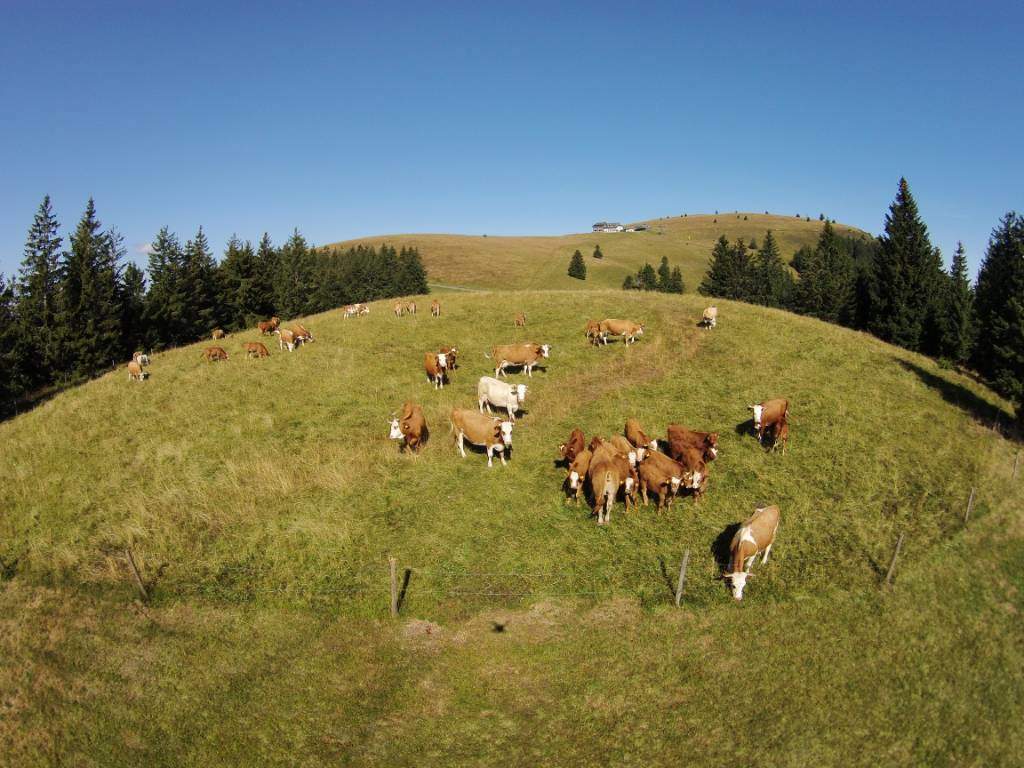
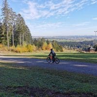
The popular Westweg impresses with its challenging route. The hike leads through a varied natural landscape and the cultural landscape also offers impressive moments for hikers in the Black Forest. You can recognize the Westweg by the red diamond. The The hike takes place on the main ridge of the Black Forest, where you can see the highest peaks such as the Feldberg and the Hornisgrind can marvel at. Belchen and Blauen give you a breathtaking view on the snow-covered Alps. The Westweg is a well-maintained long-distance hiking trail and is coordinated and kept clean by volunteer stewards from the Black Forest Association.


Directions
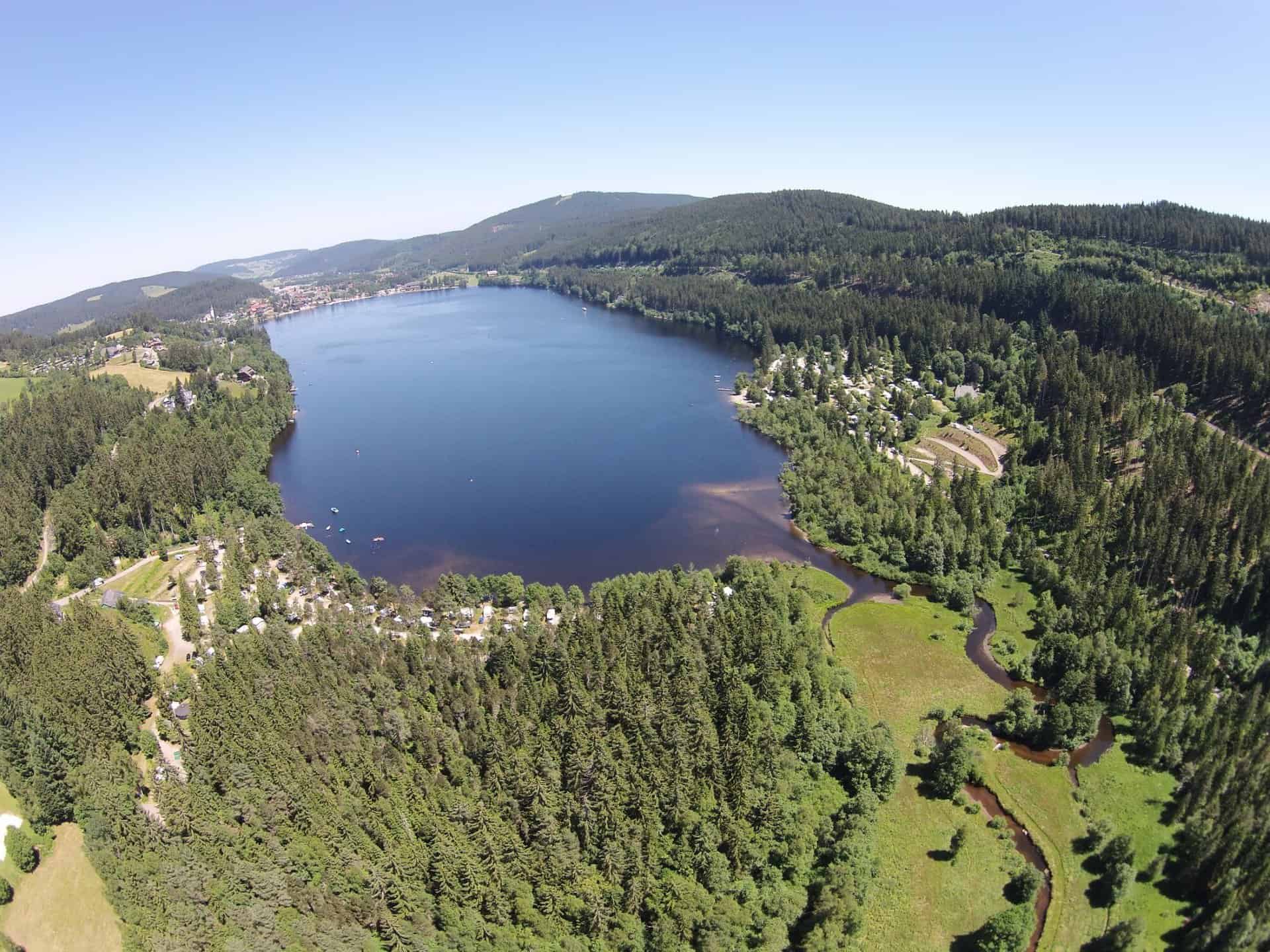
The long-distance hiking trail begins in Pforzheim and goes uphill between Enz and Murg. You cross the Murgtal and continue hiking alongside it Mummelsee down to the Kinzigtal. After this steep climb you will see the European watershed on the Westweg between the Danube and the Rhine. Then it goes Hike on to the Titisee and to the Feldberg, which is the highest peak in the Black Forest. During the high-altitude hike over the Belchen and through the Markgräflerland, a wonderful view is guaranteed until you reach Basel in the three-country corner.
The 11 stages of the Westweg at a glance
- Stage 1: Pforzheim - Dobel - 23,5 kilometers
- Stage 2: Dobel - Forbach - 25 kilometers
- Stage 3: Forbach - Unterstmatt - 19 kilometers
- Stage 4: Unterstmatt - Alexanderschanze - 28 kilometers
- Stage 5: Alexanderschanze - Hausach - 34,5 kilometers
- Stage 6: Hausach - Wilhelmshöhe - 22,5 kilometers
- Stage 7: Wilhelmshöhe - Kalte Herberge - 23,5 kilometers
Western stages and Eastern stages
- Stage 8: Cold hostel - Hinterzarten
- Stage 9: Hinterzarten – Wiedener Eck – 24,5 kilometers
- Stage 10: Wiedener Eck - Kandern - 31 kilometers
- Stage 11: Kandern - Basel - 22,5 kilometers
- Stage 8: Kalte Herberge - Bärental
- Stage 9: Bärental - Weißenbachsattel - 26,5 km
- Stage 10: Weißenbachsattel - Hasel - 21 km
- Stage 11: Hasel - Basel - 35 kilometers
Nature of the long-distance hiking trail
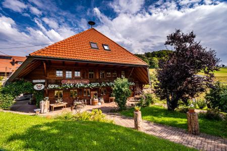
There are many routes in Germany where you can definitely have great experiences. But the Westweg is definitely a very special route. Even if this ascent requires a lot of stamina, you can enjoy nature wonderfully and have fun. Particularly Overnight accommodation There are many in the area due to its popularity, so you can even do without tents.
Helpful information for the hiker

If you have not yet done such a hike, you should prepare yourself for a few things beforehand: you definitely need high-quality trekking equipment, a good physical condition and a lot of motivation to tackle something like this effectively. Preparing for the trip is also a lot of fun, and the internet now offers great opportunities to read through the experiences of others - this way you start better prepared and ultimately increase the anticipation. Especially with the Westweg, however, there are special features that make this Make hiking even more tasty:
- On the Westweg there is an east and a west variant that can be used. The routes are predetermined, but if you are a little more adventurous, you can combine the two by walking two day stages on one path and then crossing to the other variant and continuing on the dirt road. From here you can then take the train to Freiburg - and be driven back to the starting point.
- In summer it is also relatively warm and comfortable at night, so that you don't have to burden yourself with heavy luggage. One Summer or hut sleeping bag or a thin fleece blanket in your backpack is absolutely sufficient to get through the nights without freezing.
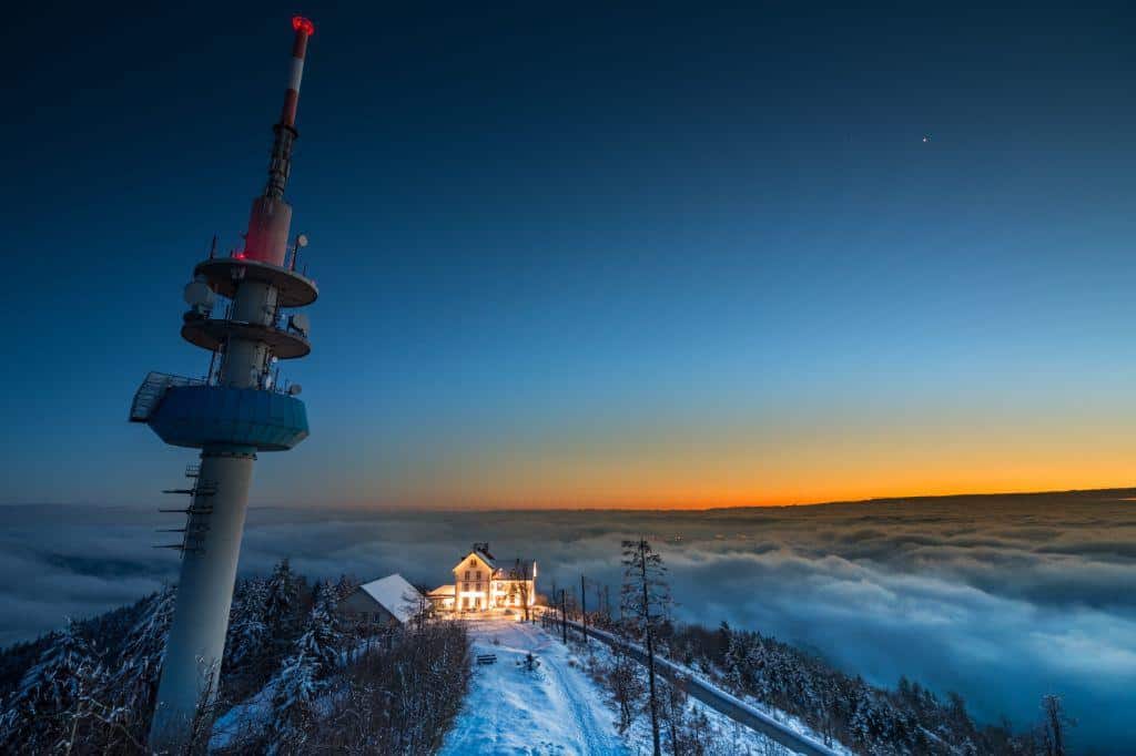
- There are also opportunities to spend the night in shelters along the route. Booking overnight stays in advance makes the trip a lot more relaxed and is even more fun. Unfortunately, there is currently no possibility to spend the night at the Sausenburg, this was something very special for hikers at the time - but it is still worth a visit today.
For more information, visit www.westweg.de


