Logo Black Forest Portal
Search
Close this searchbox.
Colmar canals

Green Road - Route Verte

85 Add to favorites Remove from favorites

Content:

Anyone who has always wanted to take a trip by car or mobile home can take the Green Road - Route Verte. The Franco-German holiday route is 365 kilometers long. It starts in Contrexéville in France and ends in Donaueschingen in Germany. There is a lot to discover along the route with a total of 17 tourist locations. Three rivers, the Moselle, the Rhine and the Danube also accompany you on the journey. The Green Road connects the three regions: the Vosges, the Rhine plain and the Black Forest. Each of the landscapes has its own charm and has a lot to offer in terms of culture, landscape and cuisine.
 

The route of the Green Road

The route begins in the well-known Contrexéville and Vittel health resorts. The spas can also be visited on site. The first stop is the cultural and historical gem Epinal. From there you can travel on to the romantic village of Le Tholy, which hikers really enjoy. The next stop is Gérdamer and the lake of the same name. If you travel further you will arrive in Turckheim. The city is rich in history that dates back to the 8th century. A wine lover's heart beats faster in Colmar. In addition to the wine tasting, there are picturesque half-timbered houses, the Bartholdi Museum, beautiful canals and the Isenheim Altar to discover. But this city also has the international reputation of a city of culture and art.

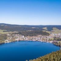
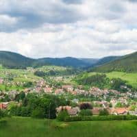
Neuf-Brisach is the next stop on the route. It is the city of Louis XIV the Sun King. Its star-shaped fortifications have survived almost completely to this day, although they were built at the turn of the 17th and 18th centuries. Between Neuf-Brisach and Breisach runs the border between France and Germany. Once in Breisach, there are wine and sparkling wine cellars to visit. Freiburg is then the next stop on the journey before continuing into the Dreisamtal. Here in the Black Forest it's all about the places Titisee-Neustadt, Hinterzarten and Loeffingen to get to know. After 365 kilometers, the Route Verte - the Green Road - ends in Donaueschingen.

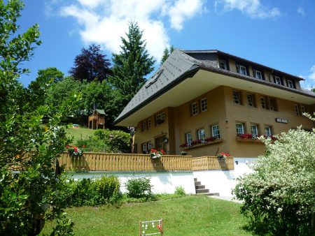
Hiking stop in the Vosges

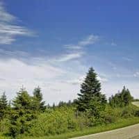
Since 1998 there has been a newly developed and signposted cycling and hiking trail. The route of the bike path leads away from the busy roads. You need between three and six days for the route if you cover it by bike. The section of the Rhine plain is pleasant and easy to drive. Public transport can be used for the steeper climbs in the Black Forest and the Vosges.


Eating and Drinking

There are numerous culinary delights to be experienced along the road. Rusical cuisine meets star-winning restaurants. You can taste a fine drop along the wine landscape on both sides of the Upper Rhine. The inns invite you to enjoy the break with good food and chilled drinks. Culinary continues in Munster. Every cheese lover knows the Munster cheese, which has a strong taste and is made from spicy Vosges milk.

In the summer months the temperature averages 20 degrees. Even in spring or autumn, the drive along the Green Road can be done very well. It is important not to forget the rain protection, as there are around 14 rainy days a month all year round.


History of the Green Road

The Green Street was initiated in 1960 by the mayors Joseph Rey and Joseph Bueb. They wanted to revive the region through tourism and at the same time let a Franco-German friendship grow. This intimacy is still lived today. With the signing of the Élysée Treaty, the street is seen as a model for the unity and reconciliation of Europe.

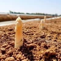
The green road makes the cultural heritage of the border region visible. You can experience history, from Roman times to German-French unity, while cycling or driving. Exploring the subject of culture and nature on both sides of the Rhine has been worked out very well and the signage makes it easy to navigate. It is wonderful to discover the rich cultural heritage of the member cities.

Route map

List   

Information
Click the following button or element on the map to see information about it.
lf hiker | E. Pointal contributor

My trail   

Profile

50 100 150 200 5 10 15 Distance (km) elevation (n)
in data elevation
Name: No data
Distance: No data
Minimum elevation: No data
Maximum lift: No data
Elevation gain: No data
Elevation loss: No data
Duration: No data

Description

Nice place