Albsteig - nature experience between Albbruck and Feldberg
The leads them along the Alb 83,3 km long Albsteig from Albbruck to the Feldberg Pass.
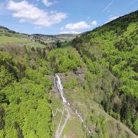
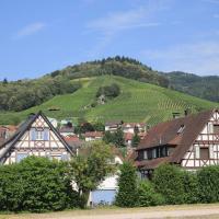
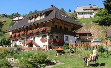
Hike through the steep gorge of the lower Alb valley on the Albsteig, pass numerous waterfalls and marvel at the devil's kitchen. The Albsteig leads you through charming landscapes, over blooming pastures through the Hotzenwald along the Bernauer and Menzenschwander Alb up to the Feldberg.
Stages for athletes
1st stage: Albbruck - Görwihl, 11,9 km; 573 m, 273 m
2nd stage: Görwihl - Häuser, 27,1 km; 1.066 m, 821 m
3a. Stage (Tour East): Häuser - Menzenschwand - Feldberg Passhöhe, 23,7 km; 721 m, 370 m
3b. Stage (Tour West): Houses - Bernau - Feldberg-Passhöhe, 24,8 km; 870 m, 518 m
Stages for connoisseurs
1st stage: Albbruck - Görwihl, 11,9 km; 573 m, 273 m
2nd stage: Görwihl - Wittenschwand, 14,9 km; 654 m, 382 m
3rd stage: Wittenschwand - St. Blasien, 16,4 km; 481 m, 570 m
4a. Stage (Tour East): St. Blasien - Menzenschwand, 9,6 km; 179 m, 127 m
5a. Stage (Tour East): Menzenschwand - Feldberg Passhöhe, 10,0 km; 462 m, 90 m
4b. Stage (Tour West): St. Blasien - Bernau, 10,2 km; 129 m, 48 m
5b. Stage (Tour West): Bernau - Feldberg, 10,1 km; 652 m, 329 m
Further information: https://albsteig.de
Download GPX file