Start: Ettlingen
Kilometers: 17,5
Altitude meters: 280
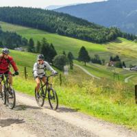
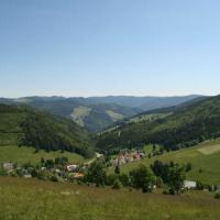
Start / finish: car park at the Ettlingen outdoor pool. From there “bei der Hell”, past the Horbachquell biotope on the Panoramaweg to the ascent of the Richard-Massinger-Weg to Schluttenbach. At the Schluttenbach town hall, take the forest road to the Rimmelsbacher Hof. After the tree line or Carl-Schöpf-Hütte, turn left onto the “Griebenweg” to Schöllbronn. There via Sister-Baptista-Straße via L613 (caution!) To the cemetery and via Neuroder Straße to the left into Solbrunnenweg to the “Windwiesen”. After Windwiesen, lowering to the right from the Forstziehweg, down the single trail to the Albtal, take the Graf-Rhena-Weg and follow it to the start, or you can change over the Alb bridge at the tennis court to the Wattkopf!
further information / maps:
City of Ettlingen
city information
Tel .: +49 (0) 7243 / 101-221
Fax .: +49 (0) 7243 / 101-430
www.ettlingen.de info@ettlingen.de
Author: Nico Weisenburger