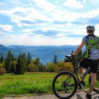
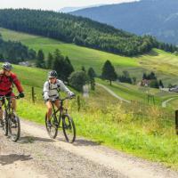
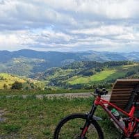
Start: Ettlingen
Kilometers: 15
Altitude meters: 200
Start / finish: car park at the Ettlingen outdoor pool. From there “bei der Hell”, past the Horbachquell biotope on the Panoramaweg to the ascent of the Richard-Massinger-Weg (extension of Wilhelmstraße), then as follows: Ascent Richard-Massinger-Weg to the left bend towards Spessart, after approx. 300m Right bend towards Schluttenbach (Pfaffenbrunnenweg) following to the Spessart radio tower. Be careful when crossing the L 613! Downhill through Spessart main road, over the "Heuweg" down into the Alb valley (caution: traffic possible and steep gradient!). Turn left in the Albtal and crank on Graf-Rhena-Weg to the starting point. At the tennis court, turn right over the Alb bridge to Wattkopf!
further information / maps:
City of Ettlingen
city information
Tel .: +49 (0) 7243 / 101-221
Fax .: +49 (0) 7243 / 101-430
www.ettlingen.de info@ettlingen.de
Author: Nico Weisenburger