Start: Todtmoos
Kilometers: 29
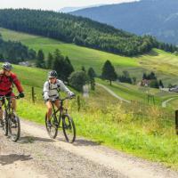
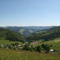
With a steep climb, the route initially leads on the L 151 via Todtmoos-Strick and Todtmoos-Weg to the Hochkopfhaus and then, again rising sharply, on a natural path (partly gravel) towards Hochkopf. With a detour to the observation tower (beautiful all-round view), a total of around 430 meters in altitude have to be overcome on this section. With a slight gradient, we continue on the natural path to the junction with the L 146 and, past the Rotes Kreuz hiking car park (barbecue facility), with a sometimes steep gradient to Bernau-Oberlehen and -Unterlehen. On a natural path, here alternating slopes with gradients, the route leads to the hiking car park near Mutterslehen and further, on the L 150 (initially ascending) past the Ibacher Kreuz, with a steep gradient (careful!) back to the starting point in Dead moss.